Southern Patagonia by bike
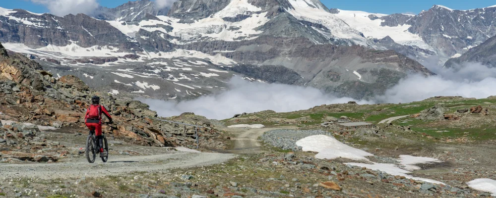
- Distance
- Varies with your plan. For scale: El Chaltén to El Calafate is about 220 km, the Perito Moreno Glacier is about 80 km each way from El Calafate, and Torres del Paine is 112 km north of Puerto Natales.
- Countries
- Argentina, Chile
- Difficulty
- Challenging
- Type of trip
- Cycling route
There’s no route called the Patagonia Expedition Route. This page suggests a ride through southern Patagonia that links the mountains of Los Glaciares National Park in Argentina with Torres del Paine in Chile. Start in El Chaltén, the small trekking town under Cerro Fitz Roy (3,405 m) and Cerro Torre, and ride the 220 km of paved road to El Calafate on the shore of Lago Argentino, with a side trip of about 80 km each way to the Perito Moreno Glacier. From El Calafate, Ruta 40 heads south across open steppe towards the Chilean border, which you cross at Río Don Guillermo; the Chilean customs post is in the hamlet of Cerro Castillo, near Torres del Paine. The park lies 112 km north of Puerto Natales, where most people finish.
The road from El Chaltén to El Calafate is paved, but parts of the road to the Río Don Guillermo crossing may be gravel, so check current conditions. The wind makes the riding hard, and there’s little between the towns. Even from December to February it can be close to freezing at night and in El Chaltén daytime temperatures are mostly under 18°C. You need to buy an entry ticket for each national park: for Los Glaciares, check the current fee at the park entrance or with Parques Nacionales, and for Torres del Paine, buy your pass in advance through CONAF’s official site, pasesparques.cl. Campsites and refugios inside Torres del Paine must be booked ahead, and rangers check bookings. Bring your passport for the border, and check its opening hours before you set off.
Highlights along the way
- El Chaltén: a village of 1,861 people at the 2022 census, inside Los Glaciares National Park, known as Argentina’s trekking capital. Walks from the town go to Laguna Torre and Laguna de los Tres at the foot of Fitz Roy.
- Perito Moreno Glacier: about 80 km from El Calafate. Its front is 5 km wide and stands about 74 m above Lago Argentino. For decades it held steady while most glaciers in the region shrank, but its northern front has been retreating since 2020.
- Ruta 40: Argentina’s longest road, about 5,194 km from Cabo Vírgenes to La Quiaca. This ride uses only its far southern end.
- Torres del Paine: three granite towers around 2,500 m high, with Grey, Pehoé and Nordenskjöld lakes below them. Guanacos are among the most common animals, and pumas and Andean condors live in the park.
- Puerto Natales: a port town founded in 1911 for the sheep trade, and the usual base for visiting the park.
Distance
Varies with your plan. For scale: El Chaltén to El Calafate is about 220 km, the Perito Moreno Glacier is about 80 km each way from El Calafate, and Torres del Paine is 112 km north of Puerto Natales.
If you have a GPX of this route from its official site or a planning app, open it in our free GPX viewer to see the distance, the climb and the height profile. The file stays on your device.
Best time to go
November to March, when there’s no snow on the roads and the days are long. Expect wind: in Torres del Paine November to January are the windiest months, which is also the busiest time. In El Calafate snow is most likely from June to August. Check border opening hours, park tickets and Torres del Paine campsite bookings with CONAF and Parques Nacionales before you go.
More journeys in Argentina, Chile
- World Trip - One Planet Expedition · David Bossek (Nature Nomad World)
Flyby films from Argentina, Chile
- Auckland-Santiago-Buenos Aires · Karen
- Lake Tota, Boyaca, Colombia · Kelly
- South America 1 · David Bossek (Nature Nomad World)
More routes like this
- Carretera Austral by bike · about 1,240 km (770 miles) · Chile
- Ruhrtalradweg by bike · about 240 km (149 miles) · Germany
- Ostseeküstenradweg by bike · about 1,100 km (680 miles) · Germany
- Moselradweg (Mosel Cycle Path) · about 311 km (193 miles) · Germany, Luxembourg, France
- EuroVelo 6 - France to Romania by bike · about 4,700 km (2,900 miles) · Austria, France, Germany, Hungary, Romania, Switzerland, Slovakia, Croatia, Serbia, Bulgaria
- Elberadweg (Elbe Cycle Route) · 1,270 km (789 miles) · Germany, Czech Republic