Route 66 road trip
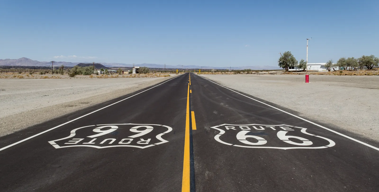
Photo: Dietmar Rabich, CC BY-SA 4.0, via Wikimedia Commons
- Distance
- 3,940 km (2,448 miles)
- Country
- USA
- Difficulty
- Easy
- Type of trip
- Road trip
Route 66 ran from Chicago to Santa Monica. It opened in 1926 and was taken off the US highway system in 1985, when the last stretch, in Arizona, came out. People drive it by car, campervan or motorbike, and some cycle it. Route66RoadTrip.com suggests 10 days at the very least, at about 200 miles a day, and 14 to 21 days if you want time to stop. You sleep in motels and campgrounds along the way, and there are long empty stretches in the desert west.
There's no longer one road to follow. By one estimate up to 85% of the old route can still be driven, and most of it is paved. The surviving stretches are state highways, local roads and business loops through towns, marked Historic Route 66, and many states sign the way on and off them. Elsewhere five interstates took the road over: I-55 out of Chicago, I-44, I-40, I-15 and I-10 into Los Angeles. Where the old road has gone you drive the interstate. Plenty of people use a guidebook, map or app as well as the signs.
Highlights along the way
- Chain of Rocks Bridge: The old Route 66 crossing of the Mississippi near St. Louis opened in 1929 and has a 22-degree bend halfway across. Cars stopped using it in 1970, so park and walk over.
- Miami, Oklahoma: Near Miami a stretch of the old road survives as a "sidewalk highway", a single paved lane with kerbs and gravel shoulders.
- Adrian, Texas: The Midpoint Café here marks the halfway point of the old highway.
- Seligman and Williams: Seligman, Arizona, is known for Delgadillo's Snow Cap Drive-In. Williams, a little further east, was the last town on the route to be bypassed by an interstate.
- Sitgreaves Pass and Oatman: Steep switchbacks over the Black Mountains in western Arizona. The highway was moved off this section in 1953, so you drive the old road down to Oatman.
Distance
The original highway was 2,448 miles (3,940 km). The line moved over the years, so the figures vary. Kansas has only 13 miles of it, on the way from Galena into Missouri. At 500 miles a day you could drive the lot in about 5 days, but the old road is slower than the map suggests. Route66RoadTrip.com once took 8 hours over a Tulsa to Joplin drive that Google put at 1 hour 45. The Santa Monica Pier is the usual finish, but the official end of the highway was about nine blocks away at Lincoln and Olympic boulevards.
Best time to go
Route66RoadTrip.com calls spring, from March into early June, the best time, with autumn, September to November, also good. Winter can bring ice and snow, and some places along the road close for the season. Desert summers are often over 100°F (38°C). From July to September monsoon storms bring flash floods to the south-west.
More journeys in USA
- US Road Trip · Julia & James
- Southwest USA Road Trip · Qinggong
- World Trip - Zero Impact Expedition · David
- Second day · Camila
- Utah Or Bust. · Matthew
- On the road to Harpes Ferry · Xiao
Flyby films from USA
- Ginkgo forest · Xiao
- Second day · Camila
- Saindo de lake Havasu City · Camila
- ALASKA or BUST! · Matt
More routes like this
- Blue Ridge Parkway road trip · 755 km (469 miles) · USA
- Pan-American Highway · 30,000 km (19,000 miles) · USA, Canada, Mexico, Guatemala, El Salvador, Honduras, Nicaragua, Costa Rica, Panama, Colombia, Ecuador, Peru, Chile, Argentina
- Amalfi Coast drive · about 50 km (31 miles) · Italy
- Iceland’s Ring Road · 1,322 km (820 miles) · Iceland
- Romantic Road · about 460 km (290 miles) · Germany
- Transfăgărășan road trip · about 151 km (94 miles) · Romania