Amalfi Coast drive
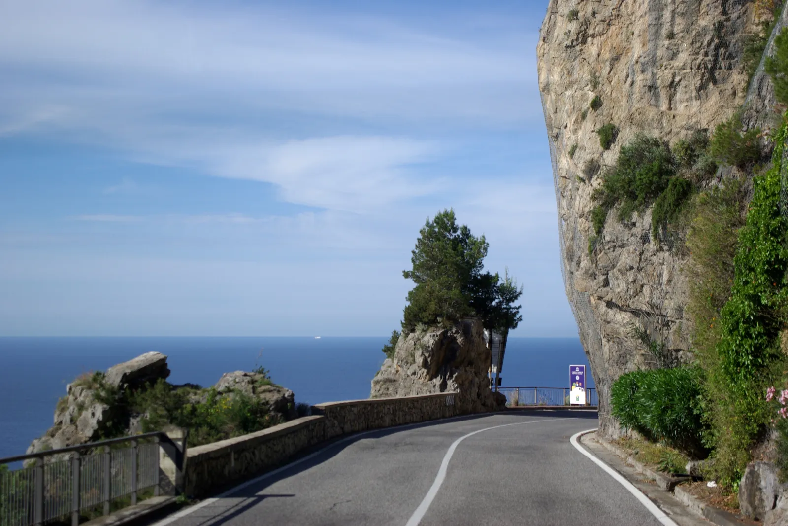
Photo: Berthold Werner, CC BY-SA 3.0, via Wikimedia Commons
- Distance
- about 50 km (31 miles)
- Country
- Italy
- Difficulty
- Moderate
- Type of trip
- Road trip
The Amalfi Drive is the SS163 Amalfitana, the road along the Amalfi Coast on the south side of the Sorrento peninsula in Campania. It leaves the SS145 at Meta, near Sorrento, crosses the hills to the south coast above Vico Equense, then keeps to the sea through Positano, Praiano, Furore, Conca dei Marini, Amalfi, Atrani, Minori, Maiori and Cetara. It ends at Vietri sul Mare, on the SS18 just west of Salerno. Bourbon engineers built it between 1832 and 1850, and it opened in 1853 as the Strada Ferdinandea, the first road the coast had ever had. You sleep in the towns along the way.
Don’t expect an open road. It’s one lane each way, about 7 m wide, with bend after bend, and where it’s narrowest two buses meeting can hold everything up. Vehicles over 10.36 m long aren’t allowed on it from 6:30 to midnight. Heavy rain often closes it because of falling rocks. SITA buses run along the coast all year from Sorrento, which is the easy option if you’d rather not drive it yourself.
Highlights along the way
- Positano: Houses and churches with majolica-tiled domes stacked up the hillside. Via Pasitea, piazza dei Mulini and via Colombo are a limited traffic zone all day for vehicles with more than 5 seats. Parking in the centre is scarce and dear, so most people use the Mandara or Mulini car park.
- Fiordo di Furore: Not a fjord at all but a deep, narrow inlet cut by the Schiato stream. The road crosses it on a bridge that has been used for the high-diving world championships, and Roberto Rossellini and Anna Magnani filmed L’amore in the hamlet below.
- Amalfi and Atrani: Amalfi was a maritime republic and the head of a duchy until Pisa sacked it in 1137. Go and see the cathedral. Atrani is 700 m further on, and at 12 ha it’s the smallest municipality in Italy.
- Ravello: Up the road that climbs from the coast over the Monti Lattari. The gardens of Villa Cimbrone have the Terrace of Infinity, with the view down over the coast.
- Cetara and Vietri sul Mare: Cetara is a small fishing village known for its anchovies. Vietri, at the eastern end, has made painted ceramics since at least the 15th century, and there’s a ceramics museum in nearby Raito.
Distance
About 50 km (31 miles) in all, from Meta to Vietri sul Mare. The coastal part, from Positano to Vietri, is about 40 km (25 miles).
Best time to go
The road is open all year, and summer is when the traffic is worst. In 2026 an odd and even number-plate rule ran between Vietri sul Mare and Positano from 10:00 to 18:00. It applied at Easter (30 March to 6 April), from 24 April to 2 May, on weekends and public holidays in June and July, every day from 1 August to 30 September, then on weekends and holidays again in October, ending on 31 October. On odd dates, cars whose plate ends in an odd number can’t use the road, and on even dates the same goes for even numbers. Motorbikes, scooters, taxis, residents and guests with a confirmed booking on the coast, on the days they arrive and leave, don’t have to follow it. The dates change every year, so look up this year’s on Anas (stradeanas.it) and the town councils’ websites before you go. Most of the coast ferries stop at the end of October.
More journeys in Italy
- to Tuscany by bike · Yael Zekaria
- Euro Trip 2024 · mmalty
- Istanbul To Ashby · Harry
- Sicily Tour · fredmarien
- Livigno 2026 · Marc
- UK to Georgia by Bike · Simon & Lucy
Flyby films from Italy
- Alta_Via_1_day_1_ · harryknoblauch12
- Plane trip Saturday · fredmarien
- Dag 9: Innsbruck - Bruneck · johan
- Salzburg to Nice · Lucy
More routes like this
- Stelvio Pass road trip · 49 km (30 miles) · Italy
- Great Ocean Road trip · 243 km (151 miles) · Australia
- Transfăgărășan road trip · about 151 km (94 miles) · Romania
- Ruta 40 road trip · 5,194 km (3,227 miles) · Argentina
- Wild Atlantic Way road trip · 2,500 km (1,553 miles) · Ireland
- Ruta de los Pueblos Blancos road trip · about 125 km (78 miles) · Spain