Iceland’s Ring Road
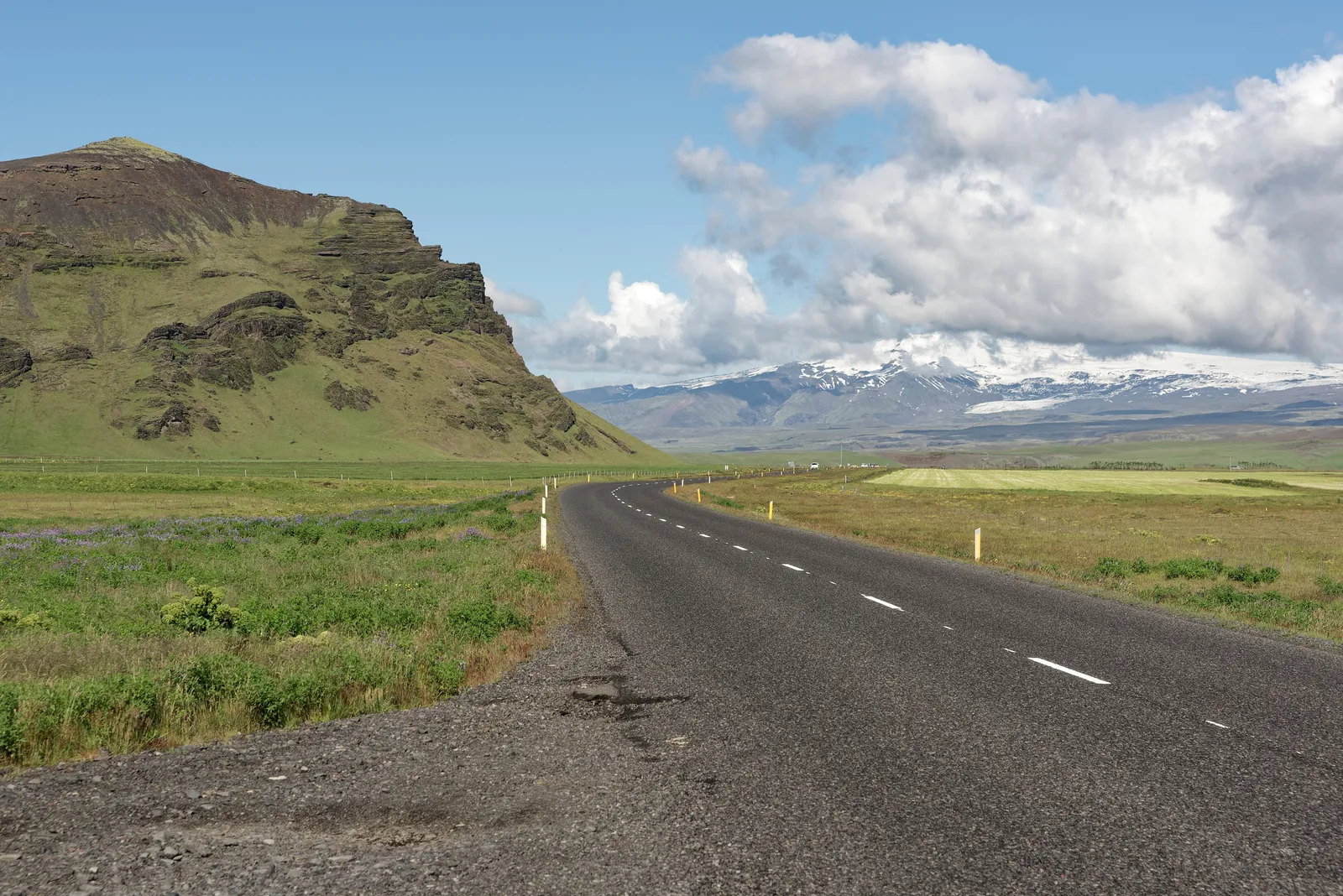
Photo: Jakub Hałun, CC BY 4.0, via Wikimedia Commons
- Distance
- 1,322 km (820 miles)
- Country
- Iceland
- Difficulty
- Easy to moderate
- Type of trip
- Road trip
Route 1, the Ring Road, goes all the way round Iceland, through Reykjavík, Borgarnes, Akureyri, Egilsstaðir, Höfn, Vík and Selfoss. Visit Iceland puts it at 1,322 km and says to allow at least 7 days; guided tours often take a week or more. It's paved the whole way and mostly one lane each way, and you don't need a 4x4. A car or a campervan is fine. The limit is 90 km/h on open road, 70 in tunnels and 50 in towns and on one-lane bridges, where whoever gets there first goes first. Campervans and caravans have to use campsites. Rooms between Selfoss and Höfn are often hard to find in high summer, so book well ahead.
The F-roads aren't part of the ring. They're highland tracks with unbridged rivers, usually closed from mid-September until June or July, and not every 4x4 is up to them; no insurance covers damage from a river crossing. Driving off the road is banned everywhere. Don't stop on the road for photos, and keep your headlights on all year. Cyclists ride the ring too, on a road with no bike paths, so give them room.
Highlights along the way
- Hvalfjörður: Route 1 goes under the fjord in a tunnel north of Reykjavík. Further on, Visit Iceland picks out Borgarnes, Hvammstangi and Blönduós as towns worth stopping in.
- Vaðlaheiðargöng: East of Akureyri this 7.4 km tunnel took 16 km off the route.
- Öxi: Route 939 over the Öxi pass is a summer gravel shortcut between Djúpivogur and Egilsstaðir that saves 68 km. It's not part of Route 1, and it's steep and winding in places.
- Jökulsárlón: Route 1 crosses the outlet of this glacial lagoon at the foot of Breiðamerkurjökull on a bridge. The lake is up to 284 m deep, and icebergs wash up on the black sand beach beside it. It's 75 km west of Höfn and 60 km east of Skaftafell.
- Skeiðarársandur: A plain of sand and gravel carried down from Vatnajökull by the Skeiðará and other rivers, with 56 km of coast. The ring was only closed in 1974, when the bridge over the Skeiðará opened. Floods after eruptions at Grímsvötn have hit the road here; in the last big one, in 1996, the bridge was swept away for a time.
Distance
Visit Iceland gives 1,322 km (820 miles); Wikipedia gives 1,309 km (813 miles). Side trips add plenty. Even on Route 1 there can be long gaps between shops, so fill up when you can.
Best time to go
Visit Iceland calls it a year-round drive, but from September to May the passes at Holtavörðuheiði, Öxnadalsheiði and Möðrudalsöræfi can close in storms and high winds. Hellisheiði, between Reykjavík and Hveragerði, can also close in winter. In winter you need winter tyres, daylight is short so allow extra time, and a 4x4 won't stop you skidding on ice. Check road conditions at umferdin.is (road.is takes you there) and the forecast at en.vedur.is every morning, and look at safetravel.is, run by the search and rescue association ICE-SAR, for alerts. Lokað on a sign means the road is closed.
More routes like this
- Route des Crêtes (Vosges) road trip · 77 km (48 miles) · France
- Amalfi Coast drive · about 50 km (31 miles) · Italy
- Causeway Coastal Route road trip · about 193 km (120 miles) · Northern Ireland
- Great Ocean Road trip · 243 km (151 miles) · Australia
- Romantic Road · about 460 km (290 miles) · Germany
- Alsace Wine Route road trip · about 170 km (106 miles) · France