Blue Ridge Parkway road trip
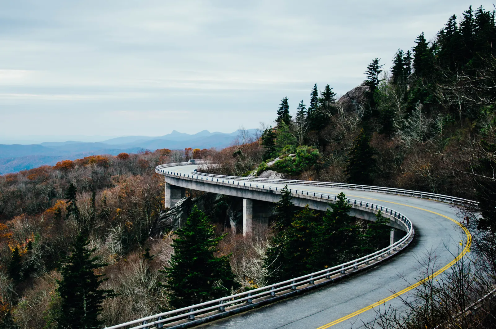
Photo: Ashley Knedler, CC0, via Wikimedia Commons
- Distance
- 755 km (469 miles)
- Country
- USA
- Difficulty
- Easy
- Type of trip
- Road trip
The Blue Ridge Parkway is a two-lane mountain road that runs 469 miles along the Blue Ridge from Shenandoah National Park in Virginia to Great Smoky Mountains National Park in North Carolina. It starts at Rockfish Gap near Waynesboro, where Skyline Drive ends, and finishes on US 441 near Cherokee. The National Park Service runs it and there's no entrance fee. The limit is 45 mph at most and drops to 25 or 35 mph in places, so the whole length is more than ten hours at the wheel without stopping. Give it several days. There are two lodges on the road and eight campgrounds, open from May to October and bookable on Recreation.gov. You can't sleep in your vehicle at an overlook. Otherwise you stay in towns just off the parkway, such as Asheville, Boone or Roanoke.
Addresses on the parkway are mileposts, counted from 0 in the north to 469 in the south. The park service says car sat navs don't recognise them, so use the sat nav to reach a nearby town and a milepost map once you're on. There's no fuel on the parkway itself, though there's usually some not far off where it crosses a main highway. Phones don't work in many places. Of the 26 tunnels, 25 are in North Carolina, mostly south of Asheville. They're unlit, and many have 14 ft (4.3 m) of clearance at the edge of the lane, some less, so in a big RV check the NPS list of tunnel heights first. Cyclists use the road too, and you mustn't overtake them in a tunnel.
Highlights along the way
- Peaks of Otter: Three peaks around milepost 86 that people have come to look at since Thomas Jefferson's day. The lodge here, by Abbott Lake, opens from early April to early November.
- Mabry Mill: At milepost 176.1. E. B. Mabry ran the mill from 1910 to 1935, and a short trail goes past his gristmill, sawmill and other old buildings. The limit drops to 35 mph here.
- Linn Cove Viaduct: At milepost 304.4 the road swings round the side of Grandfather Mountain on a concrete viaduct. The 7.7-mile (12.4 km) stretch that includes it was the last to open, in 1987, 52 years after work on the parkway began.
- Craggy Gardens: Mileposts 363.4 to 369.6, north-east of Asheville. The purple Catawba rhododendron flowers here around the third week of June, and there are short trails, including one up Craggy Pinnacle.
- Richland Balsam: The highest point on the parkway, 6,053 ft (1,845 m), at milepost 431. A self-guiding trail goes through what's left of the spruce and fir forest up there.
Distance
469 miles (755 km), from milepost 0 at Rockfish Gap to milepost 469 at US 441. At the north end Skyline Drive carries on for 105 miles (169 km) through Shenandoah National Park, which, unlike the parkway, charges an entrance fee.
Best time to go
The road is open all year, but sections close for weather and repairs, and the high stretches and tunnels are often shut by ice in winter. Most visitor centres and campgrounds open only from spring to autumn. Azaleas and mountain laurel flower from May and rhododendrons in June. Autumn colour usually peaks in mid to late October, so book campsites early for then. Hurricane Helene closed the whole parkway in late September 2024. As of 2 November 2026 the NPS still listed mileposts 344.2 to 355.3, from NC 80 to Mount Mitchell State Park, as closed, along with the Linville Falls and Crabtree Falls campgrounds, so you have to come off and rejoin. Check the road status page on nps.gov/blri before you set off; it's updated every day.
More journeys in USA
- US Road Trip · Julia & James
- Southwest USA Road Trip · Qinggong
- World Trip - Zero Impact Expedition · David
- Second day · Camila
- Utah Or Bust. · Matthew
- On the road to Harpes Ferry · Xiao
Flyby films from USA
- Ginkgo forest · Xiao
- Second day · Camila
- Saindo de lake Havasu City · Camila
- ALASKA or BUST! · Matt
More routes like this
- Pan-American Highway · 30,000 km (19,000 miles) · USA, Canada, Mexico, Guatemala, El Salvador, Honduras, Nicaragua, Costa Rica, Panama, Colombia, Ecuador, Peru, Chile, Argentina
- Route 66 road trip · 3,940 km (2,448 miles) · USA
- Stelvio Pass road trip · 49 km (30 miles) · Italy
- Ruta del Silencio by motorbike road trip · about 63 km (39 miles) · Spain
- Transpirenaica by motorbike road trip · 930 km (578 miles) · Spain, France, Andorra
- Ring of Kerry road trip · 179 km (111 miles) · Ireland