Ring of Kerry road trip
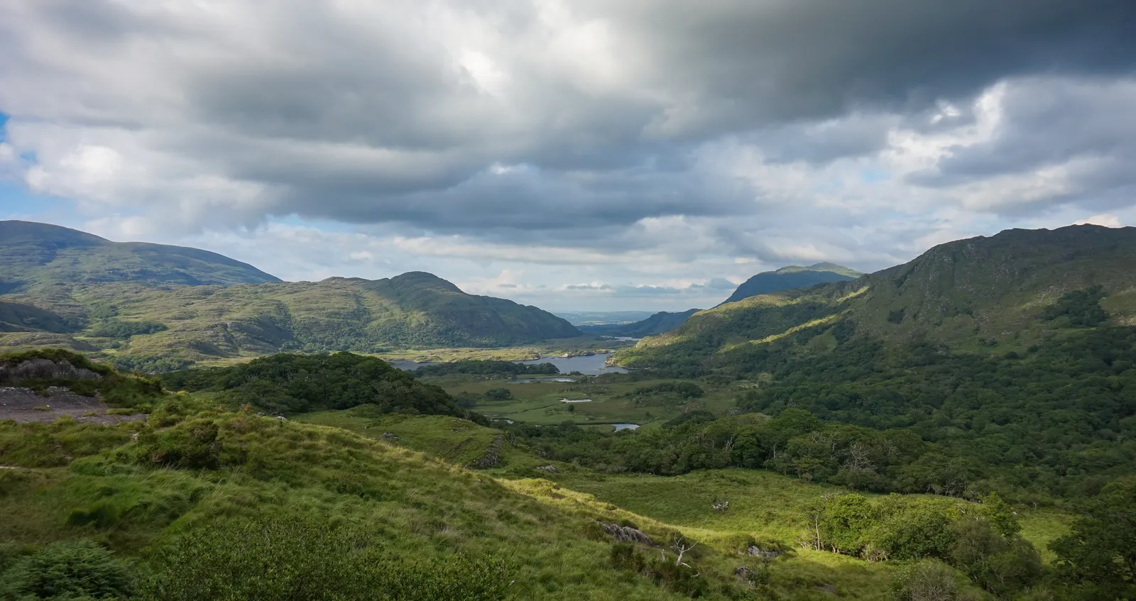
Photo: Marco Ober, CC BY-SA 4.0, via Wikimedia Commons
- Distance
- 179 km (111 miles)
- Country
- Ireland
- Difficulty
- Easy to moderate
- Type of trip
- Road trip
The Ring of Kerry is a 179 km loop round the Iveragh Peninsula in County Kerry, usually started and finished in Killarney. Going clockwise you take the N71 to Kenmare, then the N70 round the peninsula through Sneem, Waterville, Cahersiveen and Glenbeigh to Killorglin, and the N72 back to Killarney. It's a tourist route on ordinary roads, not a road of its own. Tour coaches do the whole loop as a day trip from Killarney, and you could too, but with stops it's a long day. Plenty of people spend a night or two on the way in B&Bs, guesthouses and hotels. Fáilte Ireland's own road trip suggests nights in Waterville and Portmagee.
The N70 is narrow in places and coaches can't easily pass each other, so the tour coaches all run anticlockwise, going to Killorglin first. That's a long-standing convention rather than a law, and advice for drivers is split. Go clockwise, Kenmare first, and you won't get stuck behind a coach, but you'll meet them coming the other way on the bends. Go anticlockwise and you travel with them. Either way, give them room. Ireland drives on the left. Fáilte Ireland's 216 km Ring of Kerry Cycle Route keeps to quieter roads where it can, and it's meant to be ridden clockwise.
Highlights along the way
- Ladies View: On the road from Killarney to Kenmare, a view down over the lakes and the Killarney valley. It's named after Queen Victoria's ladies-in-waiting, who admired it when they visited Kerry. Pull in and have a picnic.
- Torc Waterfall: 7 km from Killarney town centre and a short walk from the car park. The car park gets busy during the day, so the earlier you go the better.
- Derrynane House: Near Caherdaniel, the family home of Daniel O'Connell, with rooms laid out as in his day and 120 hectares of grounds. Derrynane Beach, a Blue Flag beach with lifeguards in the bathing season, is a short drive or walk away.
- Valentia Island: The official driving loop misses it. Cross the bridge from Portmagee, and leave by the ferry from Knightstown to the mainland near Cahersiveen, which runs from Easter to early October, or go back the way you came. On a clear day the Bray Head Loop Walk looks out to the Skelligs.
- Sceilg Mhichíl (Skellig Michael): Boats take about an hour from Portmagee to this UNESCO World Heritage island. You climb 618 steps to an early medieval monastery of stone beehive huts, and puffins nest there in summer. Book your seat well ahead. If you'd rather stay ashore, the Skellig Experience Centre is by the Valentia Island bridge.
Distance
179 km (111 miles) for the driving loop from Killarney and back. Fáilte Ireland's cycle route is 216 km, because it uses minor roads and takes in Valentia Island. Side trips such as Valentia add to the driving distance too.
Best time to go
The tour coaches run mainly in summer, so that's when you'll meet most of them on the N70. The Valentia ferry runs from Easter to early October, and the puffins are on Sceilg Mhichíl in summer. Killorglin's Puck Fair, one of the oldest festivals in Ireland, is in August, so book a bed early if you're passing then. Discover Ireland (discoverireland.ie) has Fáilte Ireland's route ideas and lists of places to stay.
More journeys in Ireland
- Euro Trip 2024 · mmalty
- The Rick Trip · Phil
- Ireland To Home. · Phil
Flyby films from Ireland
- Heading back to France · Phil
- Glenveagh National Park Day Trip · Phil
- THE ATLANTIC · SY
More routes like this
- Wild Atlantic Way road trip · 2,500 km (1,553 miles) · Ireland
- North Coast 500 road trip · 830 km (516 miles) · Scotland
- Transfăgărășan road trip · about 151 km (94 miles) · Romania
- Route 66 road trip · 3,940 km (2,448 miles) · USA
- Stelvio Pass road trip · 49 km (30 miles) · Italy
- Ruta 40 road trip · 5,194 km (3,227 miles) · Argentina