Transpirenaica by motorbike road trip
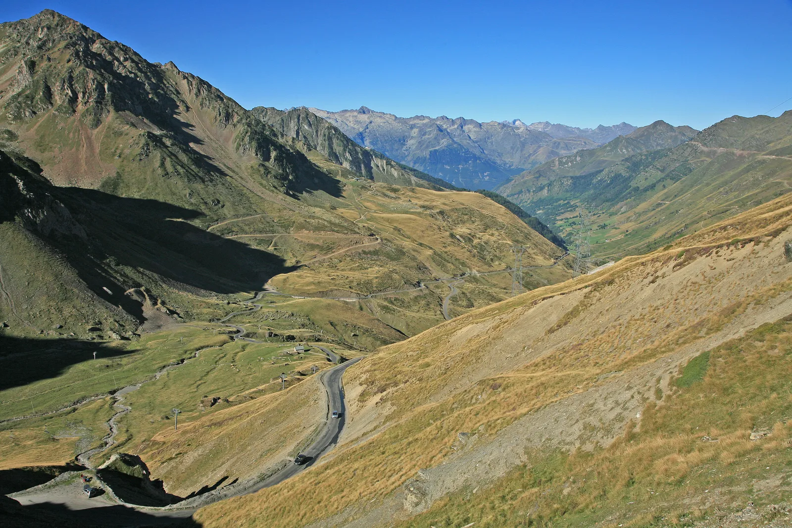
Photo: W. Bulach, CC BY-SA 4.0, via Wikimedia Commons
- Distance
- 930 km (578 miles)
- Countries
- Spain, France, Andorra
- Difficulty
- Moderate
- Type of trip
- Road trip
The Transpirenaica is a ride across the Pyrenees from the Mediterranean to the Cantabrian Sea, from Cap de Creus to Hondarribia or the other way round. It isn't an official route. Nobody runs it and there's no single line to follow. The only official Transpirenaica is the GR11 footpath, so riders put together their own way over the passes, crossing in and out of France and through Andorra. The version written up by Mapfre's motoring blog and Box Repsol runs about 930 km between Hondarribia and Roses in Girona, over three days with nights in Jaca and Vielha. Both say most people take two to four days.
It's all on tarmac, so any bike will do. Box Repsol's rider found a trail bike the most comfortable on the small back roads. There are a lot of bends. The N-230 into Vielha is very twisty, and the descent to Ripoll is long and steep. In the mountains the weather can change fast, so pack waterproofs and warm layers. Hondarribia, at the western end, sits on the Bidasoa estuary looking across at Hendaye in France.
Highlights along the way
- Cap de Creus: The easternmost point of mainland Spain, in the municipality of Cadaqués and now a natural park. It's the eastern end of the route.
- Col du Tourmalet: 2,115 m on the D918 in the French Hautes-Pyrénées. The Tour de France has crossed it more often than any other pass. It's usually closed from early December to early June.
- El Portalet: The crossing between the Tena and Ossau valleys at 1,794 m, on the A-136 in Spain and the D934 in France. It's kept open in winter, but heavy snow can shut it for a couple of days.
- Port de la Bonaigua: At 2,072 m, between Vielha in the Val d'Aran and Esterri d'Àneu, with the Baqueira-Beret ski resort at the top.
- Port d'Envalira: In Andorra, on the way down to El Pas de la Casa. At 2,408 m it's the highest paved road in the Pyrenees. A toll tunnel nearly 3 km long has bypassed the top since 2002.
Distance
Mapfre and Box Repsol give about 930 km from Hondarribia to Roses, split into 252 km to Jaca, 295 km to Vielha and 381 km to Roses. Other write-ups say about 800 km. It depends which passes you link up and how often you cross into France.
Best time to go
Mapfre suggests spring for the mild temperatures, and Box Repsol's ride was in summer. The high passes hold their snow late, though. The Tourmalet is usually shut until early June, and the Bonaigua gets about 13 m of snow in an average year. Check the French and Andorran passes are open before you set off, and pack for rain and cold whatever the month.
More journeys in Spain, France, Andorra
- France Spain 2024 · Greg
- France June 2023 · Greg
- Camino De Santiago · Julia & James
- Sailing Around The World · Adam
- UK to Georgia by Bike · Simon & Lucy
- Spain France Pyrenees 2026 · Greg
Flyby films from Spain, France, Andorra
- PLM line - Champagnole to Pont-du-Navoy - 25483409 · CNJ tourisme
- Lamasquère Road Cycling · Michmich
- Tenerife · Josephine
- To sea, on a ferry, off the ferry · Phil
More routes like this
- Ruta del Silencio by motorbike road trip · about 63 km (39 miles) · Spain
- Ruta de los Pueblos Blancos road trip · about 125 km (78 miles) · Spain
- Route des Crêtes (Vosges) road trip · 77 km (48 miles) · France
- Alsace Wine Route road trip · about 170 km (106 miles) · France
- Great Ocean Road trip · 243 km (151 miles) · Australia
- Ring of Kerry road trip · 179 km (111 miles) · Ireland