Atlantic Ocean Road
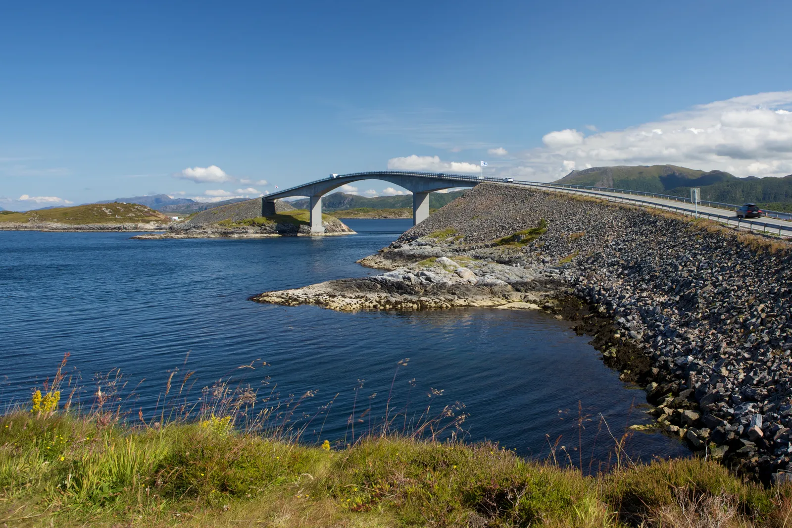
Photo: Ernst Vikne, CC BY-SA 2.0, via Wikimedia Commons
- Distance
- about 36 km (22 miles)
- Country
- Norway
- Difficulty
- Easy
- Type of trip
- Road trip
The Atlantic Ocean Road, Atlanterhavsvegen in Norwegian, crosses a chain of islands and skerries on the coast of Møre og Romsdal, between Molde and Kristiansund. The famous part is 8.3 km of county road 64 between Vevang on the mainland and Kårvåg on the island of Averøya, with seven or eight bridges hopping from one skerry to the next. Norwegian Scenic Routes counts seven and Wikipedia eight, depending on how the three Hulvågen bridges are counted. The Norwegian Scenic Route goes further, 36 km from the fishing village of Bud to Kårvåg, and stays close to sea level all the way. The road opened on 7 July 1989 after work that was held up by 12 storms. Tolls paid for part of it and came off in June 1999, years earlier than planned.
On its own it’s a short drive. Road 64 carries on to Molde one way and, through the Atlantic Ocean Tunnel under the Bremsnesfjorden, to Kristiansund the other. The tunnel is 5,727 m long, goes down to 250 m below the sea and has been free since 1 July 2020. You can stay in either town or at the fishing and diving places that have opened on the islands. The route is part of National Cycle Route 1 and EuroVelo 1, and it’s signposted, but watch for wind on the bridges and heavy traffic in high season.
Highlights along the way
- Bud: The western end, a fishing village that was the biggest place between Trondheim and Bergen in the Middle Ages. The Germans fortified it in the Second World War as part of the Atlantic Wall, and a path along the shore takes you past the Ergan coastal fort to the open sea.
- Askevågen: A harbour mole with a view out to sea. Good on a sunny day, and wild in a storm.
- Hågå and Myrbærholmbrua: Hågå, at Vevang, has an art installation called Columna Transatlantica. The Myrbærholm bridge has walkways for fishing, and the Scenic Routes people say you’re almost sure to catch something.
- Storseisundet Bridge: The longest of the bridges, a 260 m cantilever that rises 23 m above the sea. The boundary between Hustadvika and Averøy runs underneath it.
- Eldhusøya and Geitøya: On Eldhusøya a raised path loops round the island, open to everyone, with a service building. Geitøya has a fishing path and platform you can use in a wheelchair.
Distance
About 36 km (22 miles) in all for the Scenic Route from Bud to Kårvåg. The original Atlantic Ocean Road, from Vevang to Kårvåg, is 8.3 km (5.2 miles), and its bridges add up to 891 m. The Atlantic Ocean Tunnel to Kristiansund adds another 5.7 km (3.6 miles).
Best time to go
The road is open all year. Summer is the busy time, and in 2009 it had 258,654 visitors between May and August. It faces the open sea at Hustadvika, and the weather is part of what it’s known for. Car makers come to film adverts here in rough conditions. In a storm, salt water can spray over the road, and in extreme weather roads can be closed, usually for anything from a few hours to a day (Fjord Norway, October 2026). Drive carefully, stop and wait if the wind gets too strong, and check the forecast and Statens vegvesen’s traffic information (vegvesen.no or phone 175) before you go.
More journeys in Norway
- Cycle Exped to Japan via Finland · Mark
- The History of the Sea · saeunn
Flyby films from Norway
- The Great Escape · saeunn
- Stage 6 ETAP 1 September 6 2004 · Mark
More routes like this
- Iceland’s Ring Road · 1,322 km (820 miles) · Iceland
- Route 66 road trip · 3,940 km (2,448 miles) · USA
- Ring of Kerry road trip · 179 km (111 miles) · Ireland
- Causeway Coastal Route road trip · about 193 km (120 miles) · Northern Ireland
- Pan-American Highway · 30,000 km (19,000 miles) · USA, Canada, Mexico, Guatemala, El Salvador, Honduras, Nicaragua, Costa Rica, Panama, Colombia, Ecuador, Peru, Chile, Argentina
- Route des Crêtes (Vosges) road trip · 77 km (48 miles) · France