Wild Atlantic Way road trip
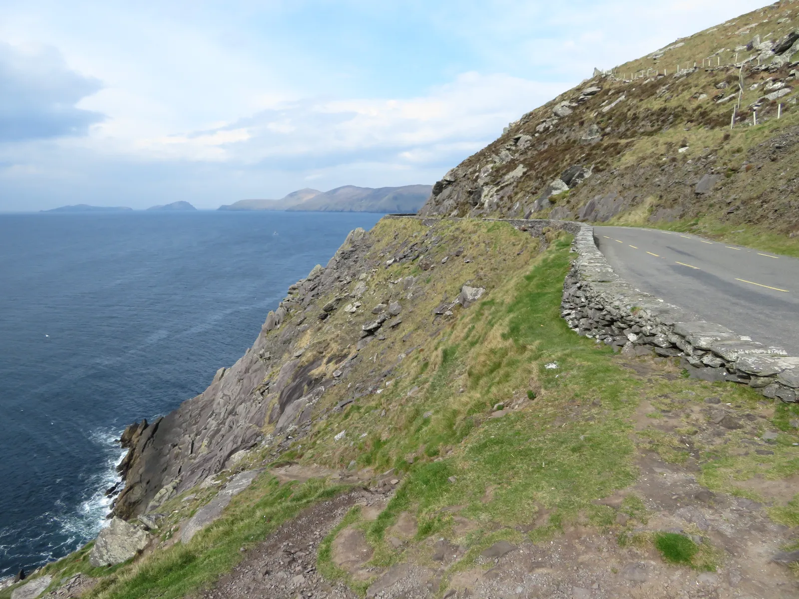
Photo: Gareth James, CC BY-SA 2.0, via Wikimedia Commons
- Distance
- 2,500 km (1,553 miles)
- Country
- Ireland
- Difficulty
- Easy to moderate
- Type of trip
- Road trip
The Wild Atlantic Way is a signed touring route along Ireland's west coast, about 2,500 km from the Inishowen Peninsula in Donegal to Kinsale in County Cork. Fáilte Ireland, the tourist board, launched it in 2014. It isn't a new road. The signs go on roads that were already there, through nine counties, and 180 Discovery Points mark the places worth pulling in. The northern end is usually given as Muff, a village on Lough Foyle right by the border, with Derry, which has an airport, just to the south. Kinsale is 25 minutes from Cork Airport. For the whole thing allow two weeks at least, though most people drive one or two sections and stay in the towns and villages on the coast.
Ireland drives on the left and limits are in km/h. As of February 2025 the defaults were 100 on national roads, 80 on regional roads and 60 on local roads, and some were due to come down after that, so go by the signs. Off the main roads the lanes get narrow and twisty. Many are single-track with passing places, and there isn't always room to get by. In Connemara and Donegal add 30 to 40% to what the satnav says. An ordinary hire car copes with every road on the route. A big campervan or a caravan is harder work, and some roads are closed to heavier vehicles. The waymarking varies from place to place, so keep a map handy.
Highlights along the way
- Malin Head: The most northerly point of mainland Ireland, out on Inishowen near the northern end. In the Second World War stones were laid out here spelling EIRE, to tell aircraft they were over neutral Ireland.
- Sliabh Liag: Some of the highest sea cliffs in Ireland, beaten only by Croaghaun. The road out from Teelin is narrow and the last few kilometres run along the edge of a drop. Bunglass is the usual viewpoint.
- Cliffs of Moher: About 14 km of cliffs in Clare between Liscannor and Doolin, up to 214 m high just north of O'Brien's Tower. You park at the visitor centre.
- Conor Pass: The R560 from Dingle over to the Brandon Bay side, 456 m at the top. It's one lane with traffic both ways, so when two cars meet, one reverses to the last wider bit. Vehicles over two tonnes aren't allowed, so check what your campervan weighs.
- Healy Pass: The R574 across the Caha Mountains on the Beara Peninsula, from Adrigole in Cork to near Lauragh in Kerry. It climbs to about 300 m. The first track over it was cut during the Famine as relief work.
Distance
Fáilte Ireland gives the length as 2,500 km (1,553 miles). One unofficial route site splits it into 14 stages that add up to about 2,600 km. Over two weeks that's about 180 km a day, which on these roads is plenty. Fáilte Ireland also has a cycle version of about 1,600 km, which is a different route.
Best time to go
May, June and September are the usual pick, with the best mix of weather, long days and crowds you can live with. October is getting busier, but the weather is less reliable. Ferries out to the islands depend on the weather, so keep a spare day. The Discover Ireland site (discoverireland.ie) has the official map and the list of Discovery Points.
More journeys in Ireland
- Euro Trip 2024 · mmalty
- The Rick Trip · Phil
- Ireland To Home. · Phil
Flyby films from Ireland
- Heading back to France · Phil
- Glenveagh National Park Day Trip · Phil
- THE ATLANTIC · SY
More routes like this
- Ring of Kerry road trip · 179 km (111 miles) · Ireland
- Amalfi Coast drive · about 50 km (31 miles) · Italy
- Ruta del Silencio by motorbike road trip · about 63 km (39 miles) · Spain
- Great Ocean Road trip · 243 km (151 miles) · Australia
- Route 66 road trip · 3,940 km (2,448 miles) · USA
- Blue Ridge Parkway road trip · 755 km (469 miles) · USA