Kerry Way
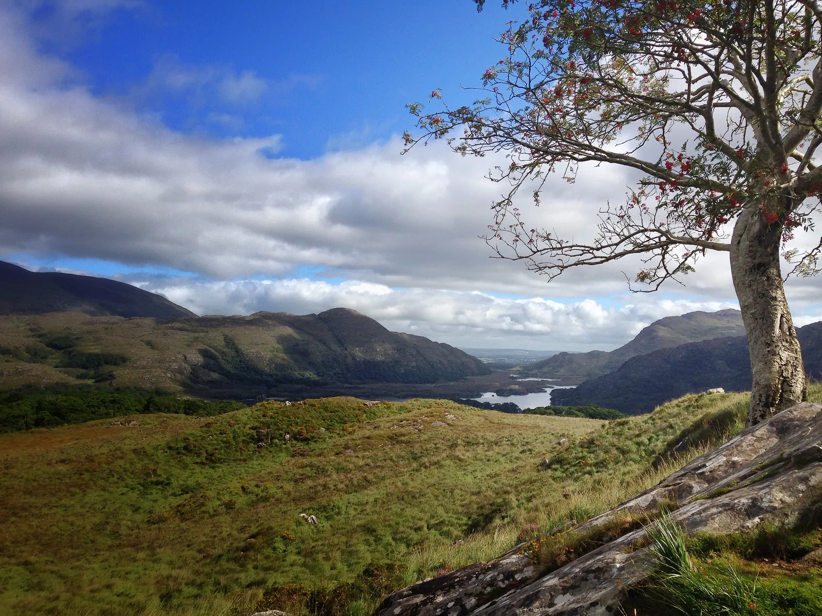
Photo: Fredseigenkijksewereld, CC BY-SA 2.0, via Wikimedia Commons
- Distance
- 232 km (144 miles)
- Country
- Ireland
- Difficulty
- Challenging
- Type of trip
- Hiking trail
The Kerry Way, Slí Uíbh Ráthaigh in Irish, is a National Waymarked Trail that circles the Iveragh Peninsula in County Kerry. It's the walkers' version of the Ring of Kerry drive, but on foot you're on quiet roads, boreens, open moorland, woodland and field paths, not the main road. About 77 km, 36% of the Way, is on local roads. It starts and finishes in Killarney and goes by way of the Black Valley, Glenbeigh, Waterville, Caherdaniel, Sneem and Kenmare. Sport Ireland grades it strenuous and gives it 9 days. Follow the yellow arrows on a black background. The first section, Killarney to Glenbeigh, opened in 1985, and the whole loop was finished in 1989.
You stay in the towns and villages along the way. In places there are long stretches between them, so Sport Ireland says to plan your days carefully. Camping isn't allowed in Killarney National Park. There are no permits. Dogs aren't allowed on the Way. Killarney has express and local buses, and Sport Ireland says public transport is very good, which helps if you want to walk it in sections.
Highlights along the way
- Killarney National Park: The first stage goes through the grounds of Muckross House and along Lough Leane and Muckross Lake to Torc Waterfall. Then it follows the Old Kenmare Road and crosses Esknamucky Glen towards the Black Valley.
- Black Valley: The Way passes under MacGillycuddy's Reeks, with Carrauntoohil (1,038 m), Ireland's highest mountain, and Caher (1,001 m) above you. It then goes through Cummeenduff Glen to the Bridia Valley and over another pass on the Lack Road to Lough Acoose and Glencar.
- Seefin and Dingle Bay: There are two marked routes round Seefin to Glenbeigh, a shorter one to the west by Windy Gap and a longer one to the east above Lough Caragh. Then the Way follows the hills above Dingle Bay to Drung Hill and turns inland. An 11 km spur goes down to Cahersiveen.
- Windy Gap to Caherdaniel: From Waterville you choose a coastal path round Farraniargh Mountain or an inland one over the Capall River and up to Windy Gap. At 385 m that's the highest point on the whole Way.
- Sneem and Kenmare: An old coach road brings you to Sneem, then a path along the coast above the Kenmare River takes you to Kenmare. The last stretch crosses the hills by yet another Windy Gap and rejoins the outward route at Galway's Bridge. Kenmare to Killarney is part of the E8 European long-distance path.
Distance
232.1 km (144 miles) in all, according to Sport Ireland, with 5,310 m of climbing and some long, steep climbs. You'll also see 214 km quoted. There are two routes round Seefin and two between Waterville and Caherdaniel, plus the 11 km spur to Cahersiveen, so your own total depends on which you take.
Best time to go
You can walk it at any time of year. Sport Ireland says the off-road sections are often very wet and muddy and parts of the open moorland are very isolated. It also warns that the stretch between Derrycunnihy Church and Lord Brandon's Cottage, in Killarney National Park, floods at different times of year, especially after heavy rain, so ask locally before you walk it. In November 2026 that warning was still on the Kerry Way page on sportireland.ie. Check that page for notices and diversions before you set off.
More journeys in Ireland
- Euro Trip 2024 · mmalty
- The Rick Trip · Phil
- Ireland To Home. · Phil
Flyby films from Ireland
- Heading back to France · Phil
- Glenveagh National Park Day Trip · Phil
- THE ATLANTIC · SY
More routes like this
- Wicklow Way · about 128 km (80 miles) · Ireland
- Dingle Way · 163 km (101 miles) · Ireland
- Hadrian’s Wall Path · about 135 km (84 miles) · England
- Maarten van Rossumpad on foot · about 384 km (239 miles) · Netherlands
- GR20 trek · about 180 km (112 miles) · Corsica, France
- E5 from Oberstdorf to Meran on foot · about 120 km (75 miles) · Germany, Austria, Italy