Maarten van Rossumpad on foot
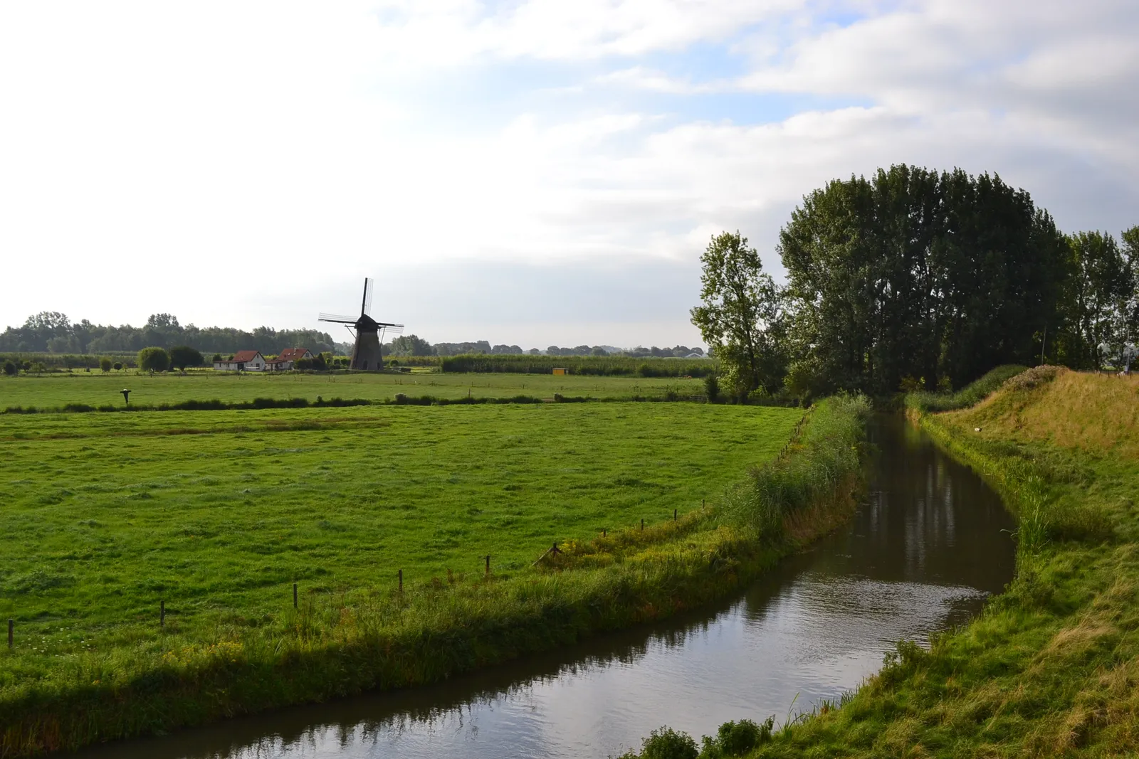
Photo: MartinD, CC BY-SA 3.0, via Wikimedia Commons
- Distance
- about 384 km (239 miles)
- Country
- Netherlands
- Difficulty
- Easy
- Type of trip
- Hiking trail
The Maarten van Rossumpad, or LAW 4, is a 384 km walk from 's-Hertogenbosch to Steenwijk. It's named after Maarten van Rossum, who led the armies of the Duke of Guelders, and most of the path runs through what was his duke's land. Wandelnet, which looks after it, splits it into 24 day stages, so allow three and a half weeks or so if you walk it in one go. White and red stripes mark it in both directions. Wikipedia lists 12 stations on or near the route, from Den Bosch to Steenwijk via Zaltbommel, Rhenen, Arnhem and Zwolle, and buses reach most other places, so it's easy to walk a few stages at a time. It also says campsites and other places to stay are reasonably easy to find.
It wasn't always this long. The first Maarten van Rossumpad, LAW 202, came out in 1994 and ran 150 km from Arnhem to Ommen. In 2001 the Vierstromenpad from Arnhem to Den Bosch was added, and in 2012 the northern part of the old Overijsselpad, from Ommen to Steenwijk. So the walk changes a lot on the way, with river dykes and floodplain in the south, the wooded hills of the Veluwezoom in the middle and heath in the north. It crosses plenty of other LAW routes too, including the Pelgrimspad at Den Bosch, the Marskramerpad at Beekbergen and the Pieterpad at Ommen.
Highlights along the way
- The Maas and the Waal: Just east of Alem you cross the Maas on a ferry. Past Rossum you walk by the Hurwenense Kil, a cut-off loop of the Waal from 1639 that still floods at high water, then cross the Waal at Zaltbommel on the Martinus Nijhoffbrug.
- Buren and the Nederrijn: From Ophemert the route leaves the Waal and crosses the Tielerwaard via Buren. Between Ravenswaaij and Kesteren it partly shares the Nederrijn dyke with the Betuwepad, and you cross the river at Rhenen.
- Arnhem and the Posbank: Along the Veluwezoom it winds past Wageningen and Oosterbeek into Arnhem, through the centre, Park Sonsbeek and Park Klarenbeek with the Steenen Tafel viewpoint. Then it climbs past Rozendaal to the Posbank.
- Vaassen and the Renderklippen: After the Apeldoorns Kanaal at Eerbeek the path loops west round Apeldoorn and heads north past Vaassen, where De Cannenburgh was Van Rossum's castle. Near Heerde it crosses the Renderklippen heath.
- The IJssel and the Havelterberg: At Hattem you cross the IJssel by ferry or on the bridge further north. The last stage goes over the Havelterberg, with heath, drift sand, woods and small fens, and passes the hunebeds D53 and D54, prehistoric stone graves that Wandelnet puts at almost 18 metres long.
Distance
About 384 km (239 miles) in all. Wandelnet's 24 stages run from 8.7 km (Hattem to Windesheim) to 22.9 km (Vaassen to Hoornerveen), and most are 12 to 20 km. There's also a 10.7 km summer variant from Rossum to Varik that crosses the Waal by ferry instead of the bridge. The route line on wandelnet.nl is the most up to date and can differ from the guidebook.
Best time to go
Wandelnet doesn't name a best season, but two ferries only run part of the year. The foot and bike ferry from Heerewaarden to Varik, which the summer variant needs, runs from mid-April to the end of September, at weekends only apart from July to mid-September. The small ferry over the IJssel at Hattem runs daily from mid-April to 28 October, and outside that you walk round by the bridge. The Maas ferry at Alem runs all year. Those seasons are from the Dutch Wikipedia list of ferries, which cites older timetables, so check them before you go, along with the route changes page for the Maarten van Rossumpad on wandelnet.nl.
More journeys in Netherlands
- North Sea Route · Kaparepel
- Hiking · Aswin Karunakaran
Flyby films from Netherlands
- Plane trip Saturday · fredmarien
- t-Zand · Aswin Karunakaran
- Stage002&003 · Kaparepel
- Belgium · Harry
More routes like this
- Westerborkpad on foot · about 340 km (211 miles) · Netherlands
- Pieterpad on foot · 500 km (310 miles) · Netherlands
- Trekvogelpad on foot · about 414 km (257 miles) · Netherlands
- Marskramerpad on foot · about 372 km (231 miles) · Netherlands, Germany
- Pelgrimspad on foot · about 456 km (283 miles) · Netherlands, Belgium
- Noaberpad on foot · about 463 km (288 miles) · Netherlands, Germany