Austrian Way of St James
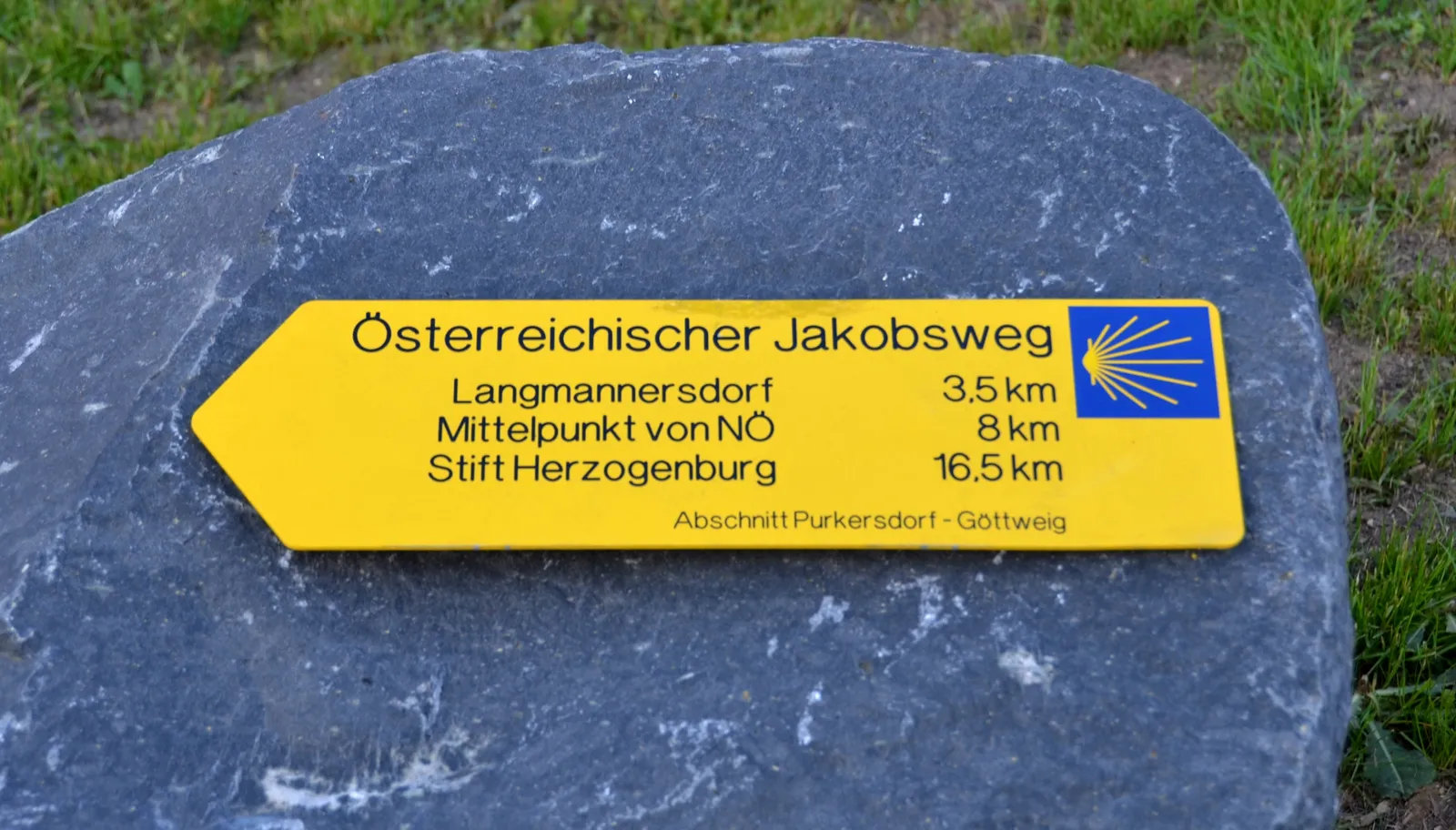
Photo: Herzi Pinki, CC BY-SA 3.0, via Wikimedia Commons
- Distance
- about 750–800 km (466–497 miles)
- Countries
- Austria, Germany
- Difficulty
- Moderate to challenging
- Type of trip
- Hiking trail
There's no single agreed Austrian Way of St James. What most people mean is the main east to west line of the Austrian network, about 750 to 800 km long, which follows the route Peter Lindenthal researched and first published in 1999. He described it in 28 day stages from Bratislava through the Hainburg gap, up the Danube on the line of the old Roman frontier road, through Vienna, Linz and Innsbruck to Feldkirch. Inside Austria the line now starts at Wolfsthal on the Slovak border, with a signed section to Schwechat that joins the Vienna route. The signs went up section by section, mostly through regional projects run by local groups and public bodies, so the marking and the exact line change from one state to the next. In Lower Austria and Vienna it isn't marked all the way. Upper Austria's section was signed by the diocese of Linz, the state and its tourist board, and has a network of pilgrim hostels. In Vorarlberg it's marked throughout with a yellow shell on blue.
You can get a pilgrim passport from the Jakobsgemeinschaft Tirol in Innsbruck or the Verein Jakobsweg Wien at Stephansplatz 6. The church in Vorarlberg says that in Austria it's mostly a record for yourself. Feldkirch isn't the end of the line. It's about 100 km more to Einsiedeln in Switzerland, through Liechtenstein or straight across, where you're on the Swiss ViaJacobi. The Appenzeller Weg from Rankweil is another way onto the ViaJacobi, meeting it at St. Peterzell.
Highlights along the way
- Vienna: The city's own Jakobsweg is 35.5 km in 4 stages. It starts in Schwechat, crosses the Danube on the Reichsbrücke to Stephansplatz, goes on to Schönbrunn and ends at the Jakobskirche in Purkersdorf.
- The Danube west of Vienna: The line runs from Purkersdorf to Göttweig, then along the Wachau section from Göttweig to Melk, and on up the Danube to Persenbeug and St. Pantaleon.
- Upper Austria: The signed section from Enns to Oberhofen on the Irrsee is 125.7 km, past St. Florian, Wels, Lambach and Vöcklabruck, mostly on old Roman and trade routes. Around Linz it splits into a northern and a southern line that meet again at Hörsching.
- Salzburg and Tyrol: After Salzburg the path cuts through Germany into the Pinzgau at Unken and Lofer, then crosses into Tyrol towards Waidring. In Innsbruck it goes to the Dom St. Jakob, and the next stages up the Inn valley pass Stams abbey.
- The Arlberg: From Strengen the path goes through St. Anton and the Rosanna gorge up to St. Christoph. Tirol's tourism site gives 1,857 m as the highest point of that stage. On the Vorarlberg side it drops through Stuben, Klösterle and Dalaas to Bludenz, then on to Feldkirch and Rankweil.
Distance
About 750 to 800 km (466 to 497 miles) for the main line, depending on where you start and which variants you take. Lindenthal's guide splits Bratislava to Feldkirch into 28 stages, which makes for long days. Some regional figures: 35.5 km (22 miles) through Vienna, 125.7 km (78 miles) across Upper Austria from Enns, and 81.4 km (51 miles) in 3 stages through the Innsbruck area from Terfens to Roppen. Add about 100 km (62 miles) from Feldkirch if you want to reach Einsiedeln.
Best time to go
Nobody publishes one season for the whole route, and the Arlberg is the stretch to check. In early November 2026 tirol.at listed the stage from Strengen to St. Christoph as closed. Upper Austria's tourist board lists its section for every season. As the signs change from state to state, get the regional material before you go. Tyrol and Vorarlberg each publish a brochure on their Jakobswege, and the Vorarlberg routes are on the state's online hiking map.
More journeys in Austria, Germany
- Cycle Exped to Japan via Finland · Mark
- UK to Georgia by Bike · Simon & Lucy
- St Malo- Vienna- ...? · Lucy
- The Great Spirits Route · johan
- Istanbul To Ashby · Harry
- Greece - Sweden · Giorgos
Flyby films from Austria, Germany
- Day 18 · Giorgos
- Dag 8: Schongau - Innsbruck · johan
- Stuttgart-Amsterdam · JereFü
- St Malo to Vienna · Lucy
More routes like this
- Munich to Venice on foot (Traumpfad) on foot · about 550 km (340 miles) · Germany, Austria, Italy
- E5 from Oberstdorf to Meran on foot · about 120 km (75 miles) · Germany, Austria, Italy
- Jakobsweg on foot · about 770 km (480 miles) · Germany, Spain, France, Austria
- Via Alpina on foot · 2,000 km (1,240 miles) · Slovenia, Italy, Austria, Germany, Switzerland, Liechtenstein, France, Monaco
- Lechweg on foot · about 125 km (78 miles) · Austria, Germany
- Schluchtensteig on foot · 119 km (74 miles) · Germany