How to track a long-distance walk or hiking trail
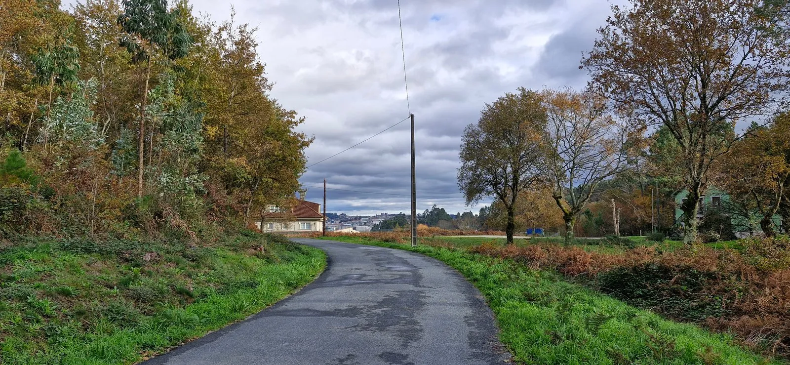
A long walk is a great way to see a place. The landscape, the rocks and the plants change gradually around you, instead of you being teleported from one place to the next, and you get a proper feel for the transition. After a couple of weeks you've crossed a whole region on your own two feet. The catch is that the days start to run into each other, and by the end it's hard to remember where anything happened.
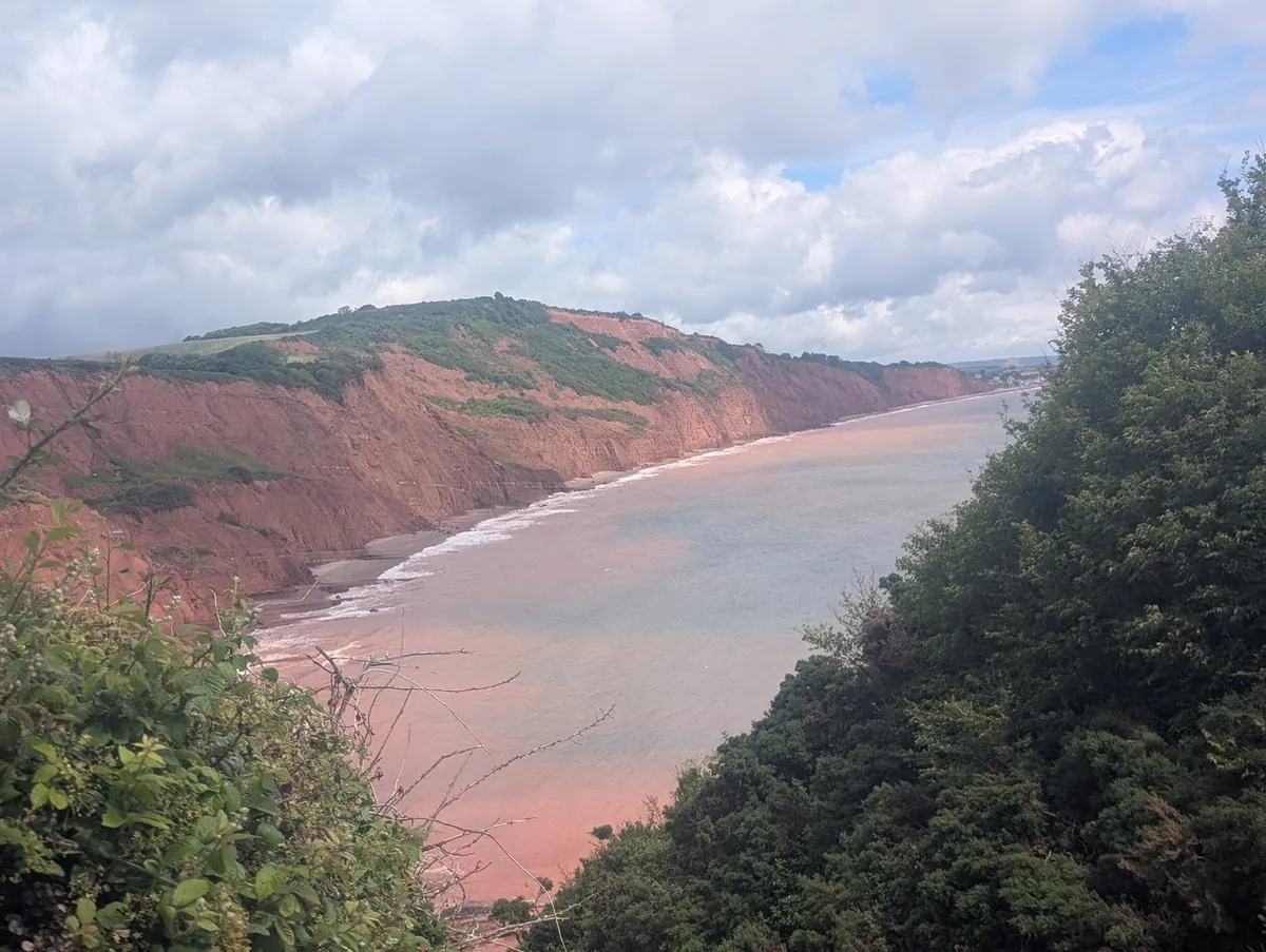
My dad walked part of the South West Coast Path in England in June, camping most nights, and tracked it on Pebbls all the way. Ruth did the same on the Camino, walking from Lisbon in Portugal to Santiago in Spain over 35 days. This is what worked for them.
Header photo: the last stretch into Santiago, from Ruth's Camino.
Before you go
Setting up only takes a few minutes, and the help pages cover it. Start a journey for the walk and make the first day the first chapter. If it's just for family and friends, set the journey to private before you start, and only people with the link will see it.
On the way
Keep the phone near the top. A hip-belt or shoulder-strap pocket is ideal: the phone can see the sky, and it's handy when you want a photo. Buried at the bottom of your pack the line gets a bit messy. You'll always get small gaps in woods and deep valleys.
Charge up every night. Tracking a day's walk is fine on most phones. It's the screen and the camera that use the battery. Take a power bank and plug everything in wherever you stop, watch included. Ruth's Garmin ran flat on day 28.
One chapter a day. That works best on a long walk. Ruth's go from Day 1 to Day 36, and anyone following gets the walk a day at a time. Every chapter gets its own page and its own flyby film.
Rest days. Don't bother tracking them, or give them a short chapter. Ruth's rest day in Coimbra was a wander round the old university and the cathedrals.

Hopped on a train or a bus? Change the transport when you get on, or the map will have you walking 40 km in an hour. On day 6 Ruth couldn't find anywhere to stay, caught the train ahead, and spent the next two days walking back to fill the gap. Near the end, my dad had to get a bus when there were no trains.
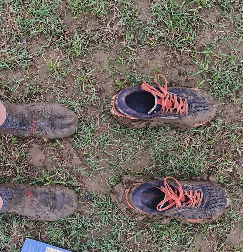
Add pebbls as you go. A pebbl is a photo or a note, or both, pinned where it happened. It's the little things you'll be glad of later. Trying to keep off a busy road, Ruth got both shoes stuck in the mud and had to walk back to solid ground in socks. My dad made it to a campsite reception "with 25 mins to spare" after a short day that wasn't.
No signal
Don't worry about it. The route keeps recording and goes up when you're back in signal, and your notes and photos wait on the phone until then.
Letting people follow along
Send your family and friends the link to your journey. They can read it in a browser without the app, and sign up to hear when you post something. With Explorer, the map keeps up with you as you walk.
Walking on your own? You decide who sees what. Keep the journey private, hide places like your home, and use tracking privacy to hold back where you are until you've moved on.
At the end
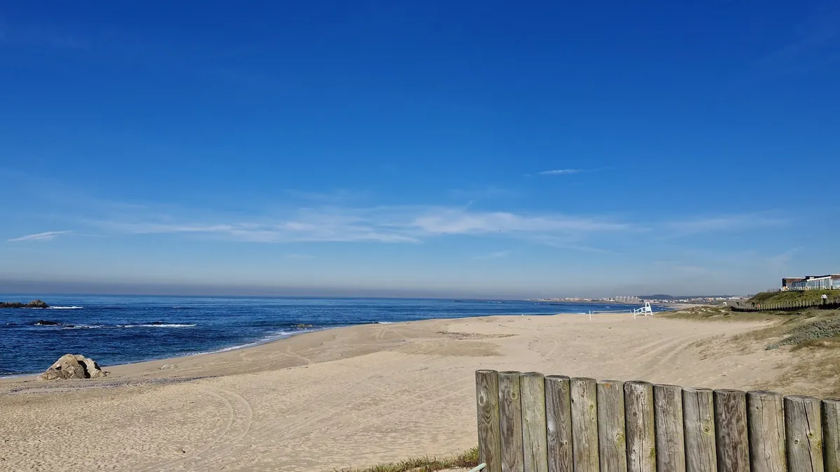
You've got a map of the whole walk with your photos and notes along it. You can put it on your own website, or print it: A4 and Letter are free from the share button. There's the journal too, day by day, and a flyby film for most chapters, a 3D film that follows the day's walk from above with your photos where you took them. If you want something to post, you can make a free animated map of the whole walk.
Walked part of it with Komoot, AllTrails or a Garmin instead? Download the GPX file and add it to your map as a chapter.
Walks on Pebbls to look at
Camino De Santiago (Ruth). Lisbon to Santiago in November and December 2025, inland as far as Porto and then up the coast. A chapter for every day, Day 1 to Day 36.
Camino De Santiago (Julia and James). The Camino Francés from Saint-Jean-Pied-de-Port in France to Santiago in September and October 2024, with a chapter for nearly every day's walk and over 300 photos.
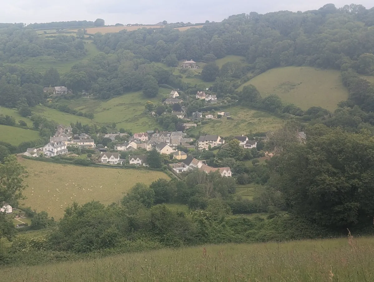
Exmouth towards Poole SWCP (my dad, Greg). Ten days along the south coast of England on the South West Coast Path in June 2026, mostly camping.
Quick answers
Is it free? Yes. Tracking the walk, the map, your pebbls, the journal, the flyby films, an animated map and a map to print all cost nothing.
Does it replace my walking app or guidebook? No. Pebbls doesn't give directions or show you the path ahead, so keep your guidebook or a walking app like Komoot for that. Pebbls records the walk and lets people follow it.
Will it drain my battery? A bit, but a day of tracking is fine on most phones. The screen, the camera and hunting for signal use more.
There's more on the hiking tracker. Then get Pebbls free and enjoy the walk.