How to keep a sailing log and share your voyage on a map
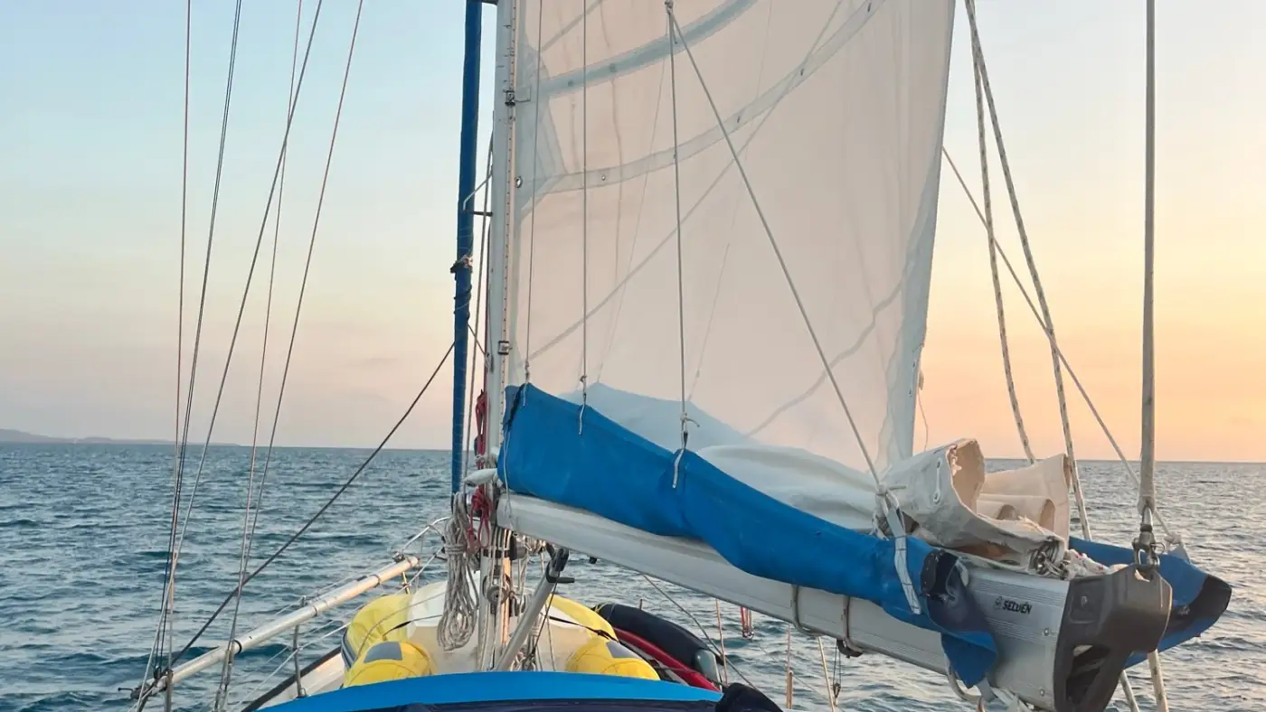
After 38 days at sea and more than 4,000 nautical miles, Adam and Olivia watched the cliffs of the Marquesas rise over the horizon as the sun came up behind them. Their phone had been recording ever since they left Guernsey in 2023, and the whole voyage is on their map for everyone at home to see.
You can keep a sailing log the same way, with a free app, and share your voyage on a map. This post covers where to keep the phone on board and what happens when there's no signal for weeks.
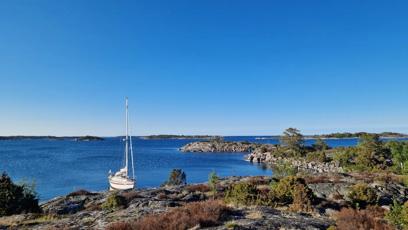
Header photo: Adam and Olivia's boat under sail, from their voyage around the world.
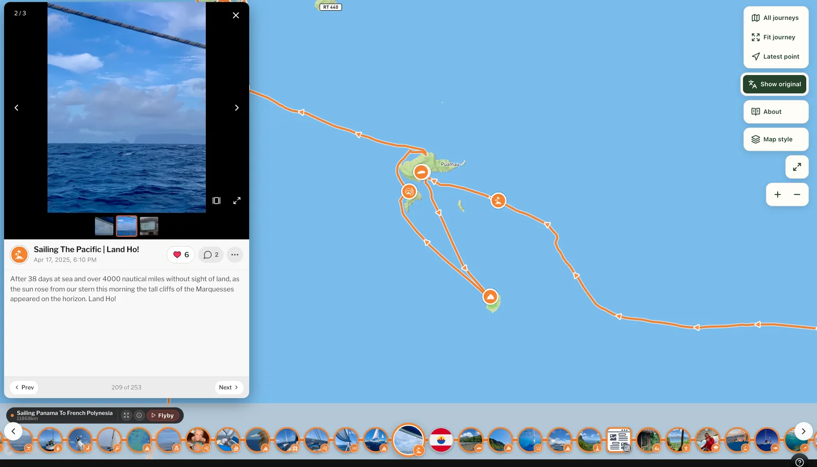
Keeping a sailing log with your phone
Setting it up takes a few minutes while you're still in port; the help pages cover it. The rest is about the sailing.
Where to keep the phone
The phone needs to see the sky. Down below, especially in a steel or aluminium hull, it can lose the satellites and you get a straight line from where it lost them to where it found them again. Keep it by the companionway or a window, or in a waterproof case in the cockpit.
Battery on long passages
The GPS uses far less than the screen and the camera. Keep the phone plugged into the boat's USB socket on long passages, and carry a power bank for the dinghy and days ashore.
Passages, chapters and pebbls
Start a journey and split it into chapters. A chapter can be one passage, one ocean or a whole voyage along a coast. Adam and Olivia give each big leg of their voyage its own chapter; Sæunn does one per voyage. Both work. Each chapter gets its own page in the journal and its own flyby film.
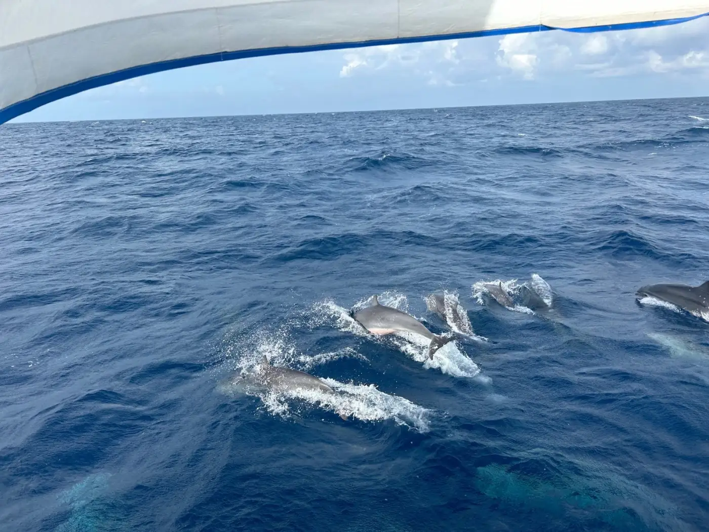
Drop pebbls along the way. A pebbl is a photo, a note or both, pinned where it happened: the pod of dolphins at dawn, the squall you ran from, landfall after three weeks at sea. Written on the day, they turn into the log you'll want to read back.
Offshore with no signal
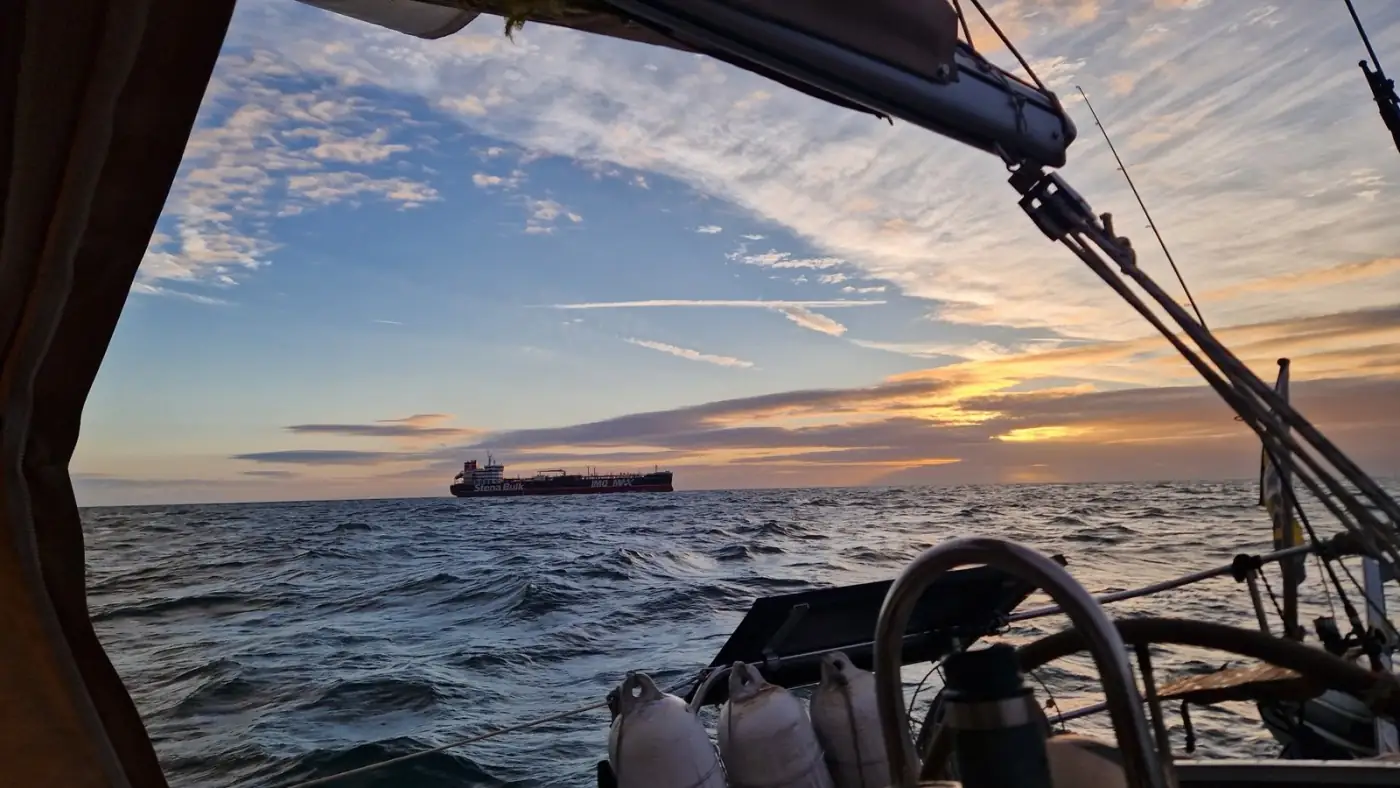
No signal is fine. Your phone's GPS works without it, so the route keeps recording on a passage and uploads when you're back in range, often at the next port. Pebbls you post at sea wait on the phone and go up too.
Let people follow along. On a long voyage, a surprising amount of every landfall goes on hunting for wifi and messaging home to convince everyone you're still alive out there. Send your family and friends the journey's link instead. The route goes up by itself whenever your phone finds signal, so they can see where you've got to without waiting for a message from you. They read it in a browser with no app, and can sign up to get a message when you post something. The map updates a few times an hour whenever there's signal.
Living aboard? You decide who sees what. Location masking moves a pin a little way off, so places like your home mooring stay vague. With an Explorer membership you can also make a journey private or put a password on it, and hold back your latest position until you've moved on.
Your voyage on a map
This is what you have at the end.
A map of the route you sailed, coloured by chapter, with your pebbls along it. You can put it on your own blog or website, or print it: A4 and Letter are free from the share button.
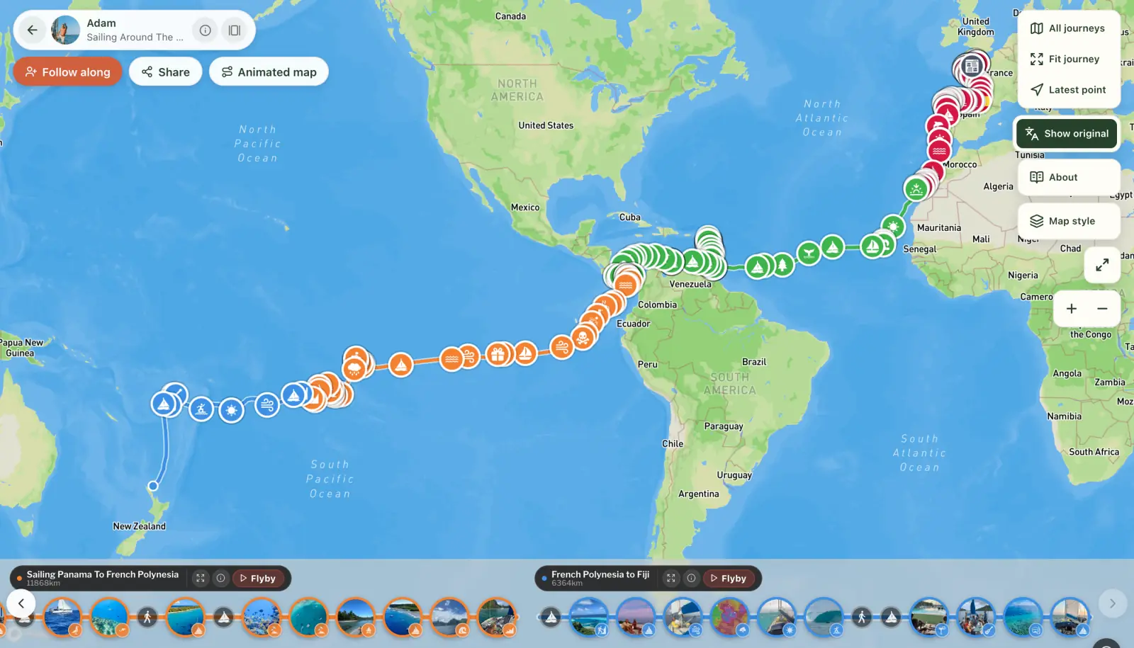
See Adam and Olivia's map and move around it yourself.
A journal, chapter by chapter, that reads well on a phone.
A flyby film for most chapters, made for you and free: a 3D film that follows the route from above, with your photos where you took them.
An animated map of the whole voyage, if you want one to post: the route draws itself across the map, stop by stop. You can make one free with Animated travel map.
Got a passage saved on your chartplotter or another sailing app? If it can export a GPX file, you can add it to your map as a chapter. For a single passage, you can also make a 3D video of the route straight from the file.
Voyages on Pebbls to look at
Sailing Around The World (Adam and Olivia). Since July 2023 on their Rival 41: south to the Canaries and Cape Verde, 20 days across the Atlantic to Tobago, the Caribbean, Panama, then across the Pacific to French Polynesia, Fiji and on to New Zealand. More than 34,000 km (about 18,500 nautical miles) under sail in four chapters, with 253 pebbls.
Saga Sæunnar (Sæunn). Three voyages: from Helsinki across the Baltic to Nynäshamn near Stockholm in September 2024, along the coasts of Sweden and Norway, then out round Scotland, Ireland, Wales and the Isles of Scilly to Brittany and on to A Coruña in Spain. About 7,700 km (4,200 nautical miles) and 73 pebbls.
Project World Sail Circumnavigation (Project World Sail). Two chapters, The Atlantic and The Pacific: through the Caribbean to Panama, then across the Pacific to the Marquesas, the Tuamotus and Tahiti. About 11,600 km (6,300 nautical miles) under sail, with 95 pebbls.
Quick answers
Is it free? Yes. You can keep a log of a whole voyage and share it without paying a penny: the online map of your route, your pebbls, the journal for family and friends to follow, flyby films of your chapters, an animated map of the trip and a map to print.
Does it replace my logbook or chartplotter? No. Pebbls isn't a navigation app and it isn't an official ship's log. Keep your chartplotter for navigating and your logbook for the watch entries; Pebbls keeps the voyage itself, the photos and the people following.
Will it drain my battery? Some, but with the phone plugged in on passage it's not a worry. The screen, the camera and hunting for signal use more than the GPS.
There's more on tracking a sailing trip with Pebbls, and on tracking any trip on a map. Then get Pebbls free and fair winds.