Swiss Way of St James (Via Jacobi)
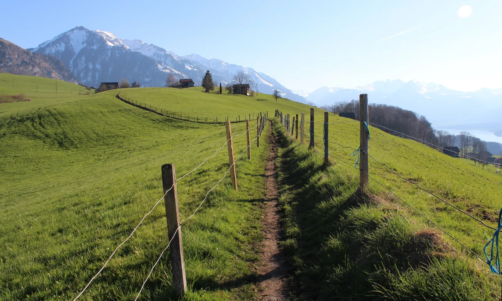
Photo: GabrielleMerk, CC BY-SA 4.0, via Wikimedia Commons
- Distance
- 446 km (277 miles)
- Country
- Switzerland
- Difficulty
- Moderate
- Type of trip
- Hiking trail
The ViaJacobi is Swiss national hiking route 4, one of seven national routes in SchweizMobil, the official network. It's the Swiss part of the Way of St James. The main line starts at Rorschach on Lake Constance and runs through Einsiedeln, Schwyz, over the Brünig pass, past Lake Thun and through Fribourg and Lausanne to Geneva and the French border. That's 446 km in 20 stages, so about three weeks at a stage a day. There's a second start at Konstanz, known as the Schwabenweg, which joins the main line at Rapperswil, and a branch from Lucerne through Bern. You sleep in pilgrim hostels, B&Bs, guesthouses and hotels. You need a credencial (pilgrim passport) for the hostels, but the Swiss association warns that having one doesn't guarantee a bed, and camping isn't allowed everywhere.
The route has been a national route since 2008, though waymarking from Lake Constance to Geneva started in 1999. Look for the number 4 with a scallop shell pointing towards Santiago, on the yellow signs of the Swiss hiking network. It's not a high Alpine walk. The highest point is 1,414 m, on the stage from Einsiedeln to Schwyz, but MySwitzerland still rates the fitness needed as difficult. At Geneva the way carries on as the GR 65, the Via Gebennensis, to Le Puy-en-Velay, where the Via Podiensis begins.
Highlights along the way
- Rapperswil to Einsiedeln: Stage 4 crosses Lake Zurich on the wooden footbridge to Hurden, the longest in Switzerland, then climbs over the Etzel pass to Einsiedeln, an important place of pilgrimage.
- Lake Lucerne: After the climb over the Haggenegg, stage 6 includes a boat from Brunnen to Treib, where the cantons of Uri, Schwyz and Nidwalden meet.
- Flüeli-Ranft: Stage 7 ends at the hermitage of Niklaus von Flüe and the Ranft chapels. The next day follows Lake Sarnen and Lake Lungern and climbs to the Brünig on an old mule track that pilgrims have used for a long time.
- Lake Brienz and Lake Thun: From the Brünig you walk above Lake Brienz with the Bernese Oberland peaks across the water, then along Lake Thun past the St. Beatus caves and Amsoldingen's Romanesque church.
- Fribourg to Geneva: Fribourg has many links to St James, and you leave it over the Sainte-Apolline bridge. In Lausanne the path comes down from the cathedral by the Escaliers du Marché. The 32 km along Lake Geneva to Rolle are flat but long. The last stage goes from St Peter's Cathedral in Geneva through Carouge to the border.
Distance
446 km (277 miles) on the main line from Rorschach to the French border near Geneva, in 20 stages of 10 to 32 km. The Konstanz start adds 72 km (45 miles) in 3 stages before Rapperswil, and the Lucerne branch is 124 km (77 miles). With all its branches and variants the ViaJacobi network has 33 stages and is about 645 km long. MySwitzerland gives 11,900 m of climbing for the route.
Best time to go
MySwitzerland gives the season as April to October, and says to check with local tourist offices about the route and weather, as sections can be closed. The Swiss association's advice is that you can manage without a sleeping bag in summer but want a proper one in spring and autumn. It publishes accommodation lists in three parts, Konstanz to Einsiedeln, Einsiedeln to Fribourg and Fribourg to Geneva, and keeps them up to date.
More journeys in Switzerland
- Istanbul To Ashby · Harry
- Cycle Exped to Japan via Finland · Mark
Flyby films from Switzerland
- DT 3-toppentocht · Bruno Oosters
- Switzerland · Harry
- Stage 1 ETAP/day 2 · Mark
More routes like this
- Haute Route trek · about 215 km (134 miles) · France, Switzerland
- Via Alpina on foot · 2,000 km (1,240 miles) · Slovenia, Italy, Austria, Germany, Switzerland, Liechtenstein, France, Monaco
- Tour du Mont Blanc trek · about 170 km (105 miles) · France, Italy, Switzerland
- Kepler Track · 60 km (37 miles) · New Zealand
- Camino del Norte · 820 km (510 miles) · Spain
- Moselcamino on foot · about 160 km (99 miles) · Germany