Pembrokeshire Coast Path
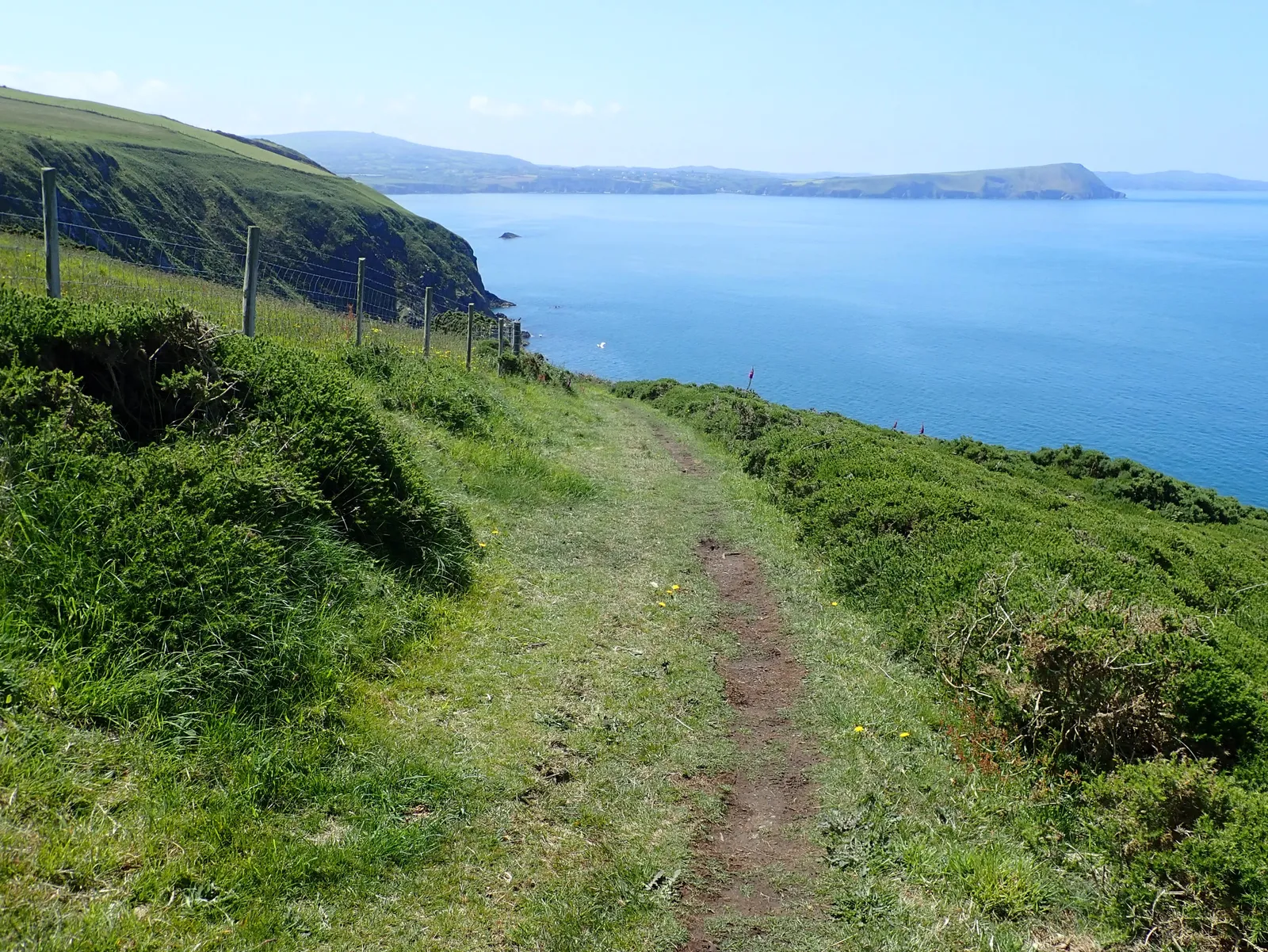
Photo: Eirian Evans, CC BY-SA 2.0, via Wikimedia Commons
- Distance
- 299 km (186 miles)
- Country
- Wales
- Difficulty
- Moderate to challenging
- Type of trip
- Hiking trail
The Pembrokeshire Coast Path runs 186 miles (299 km) round the coast of south-west Wales, from St Dogmaels in the north to Amroth in the south. Almost all of it is inside the Pembrokeshire Coast National Park, on cliff tops and past coves and beaches, and it goes all the way round the Milford Haven waterway, which is still busy with industry. It opened in 1970 as the first National Trail in Wales. The official guidebook plans twelve days at around 15 miles (24 km) a day. National Trails says that's a hard pace to keep up, so plan some shorter days or spread it over several visits.
You stay in the villages and small towns along the coast, and there are plenty of campsites. In summer rooms are hard to find, especially for a single night, so book well ahead. There's normally no right to wild camp. Most guidebooks go north to south, and the stiles and gates are numbered that way. Phone signal is unreliable or missing on much of the coast. Coastal buses cover most of the path in summer, with fewer from September to May, so it's easy to walk in sections.
Highlights along the way
- St Dogmaels to Newport: The first day is the hardest stretch of the path, 15.5 miles with frequent very steep hills and nowhere to buy food between Poppit and Newport Sands. National Trails suggests that newer walkers split it in two at Moylgrove.
- St Davids Head: The path runs above high cliffs below the rocky tops of Carn Llidi, then crosses St Davids Head, which is full of archaeology. From Abereiddi to Whitesands there's hardly a building.
- Marloes and the islands: Between Martin's Haven and Dale the walking is fairly easy on a flat plateau, with views out to Skomer, Skokholm and Grassholm.
- Barafundle and Bosherston: Between Broad Haven South and Skrinkle you pass Barafundle beach and the Bosherston Lily Ponds, a National Nature Reserve. It's up and down, but never far from a beach or a pub.
- Tenby: The last section, Skrinkle to Amroth, is the busiest, through Tenby with its Norman castle and views of Caldey Island and over the water to Gower and Exmoor.
Distance
The trail is 186 miles (299 km), with about 35,000 feet (10,700 m) of ascent and descent, and the highest point is Pen yr Afr at 175 m. Depending on tides and the firing ranges you'll walk between 168 miles (270 km) and the full distance. Between Dale and Milford Haven there are two tidal crossings, at the Gann and Sandy Haven, which you can only cross two and a half hours either side of low tide. Otherwise it's about four miles round each, mostly on road.
Best time to go
It's open all year. Spring is best for nesting birds and wild flowers, and autumn for migrating birds and seal pups. In winter it gets very windy and muddy. Much of the section from Freshwater West to Broad Haven South is restricted by military firing ranges, with a road alternative, and the eastern range is open at weekends, bank holidays and most evenings. In November 2026 National Trails listed no major diversions. Check firing times and tide tables before you go.
More journeys in Wales
- Snowdon Watkins Path · Emily
- Watkins Path Snowdon With Ems · Greg
- Ireland To Home. · Phil
Flyby films from Wales
- The Great Escape · saeunn
- Rhyl To Holywell · Phil
- Summit Down · Greg
- Summit Down · Emily
More routes like this
- Cambrian Way · 479 km (298 miles) · Wales
- Camino de Santiago on foot · about 770 km (480 miles) · Spain, France
- Trekvogelpad on foot · about 414 km (257 miles) · Netherlands
- Pieterpad on foot · 500 km (310 miles) · Netherlands
- Larapinta Trail · about 223 km (139 miles) · Australia
- Wicklow Way · about 128 km (80 miles) · Ireland