Karwendel Höhenweg on foot
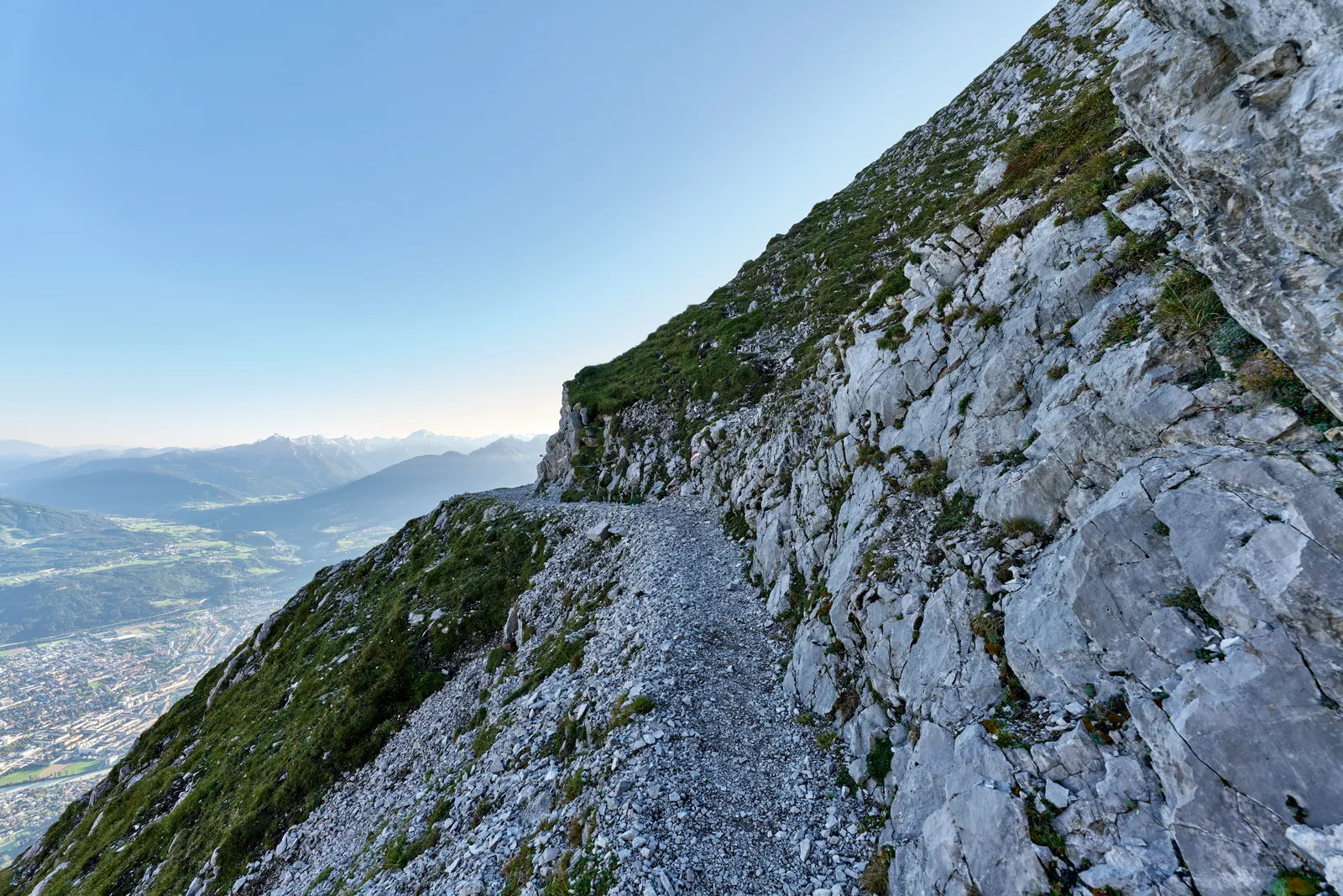
Photo: Leonhard Lenz, CC0, via Wikimedia Commons
- Distance
- about 70 km (43 miles)
- Country
- Austria
- Difficulty
- Challenging
- Type of trip
- Hiking trail
The Karwendel Höhenweg crosses the southern part of the Karwendel range in Tyrol, inside Austria's largest nature park. It starts at the railway station in Reith bei Seefeld and ends in Scharnitz, and you can walk it in either direction. Both ends are easy to reach by train and bus. It's about 70 km in six stages, one a day. You sleep in five Alpine Club huts: the Nördlinger Hütte, the Solsteinhaus, the Pfeishütte, the Bettelwurfhütte and the Hallerangerhaus. In November 2026, though, the Nördlinger Hütte is closed for renovation, with no beds or food, until the 2028 season starts; the Best Time to Go section below has the ways round it. The route website says to book a bed at every hut before you set off.
It isn't a walk for beginners or children. Most of it is graded black on the Austrian scale for mountain paths, which means narrow, steep paths, very exposed in places, with long stretches of fixed ropes. You need to be sure-footed, have a head for heights and be fit enough for days of up to nine hours. Old snow can lie in the gullies well into summer and is rock hard in the morning, so the official kit list includes microspikes or light crampons and poles.
Highlights along the way
- The Eppzirler Scharte: Stage 2 crosses the Ursprungsattel and the Eppzirler Scharte (2,102 m), then drops about 200 m down the scree of the Höllkar.
- Frau Hitt and the Seegrube: Stage 3 is the longest day, 16.5 km and about nine hours. It climbs scree and fixed ropes to the Frau Hitt saddle, then crosses meadows to the Seegrube restaurant above Innsbruck.
- The Goetheweg: From the Hafelekar the path follows the Nordkette to the Mandlscharte (2,314 m) and drops to the Pfeishütte. For most of the way you have Innsbruck and the Inn valley on one side and the wild Karwendel on the other.
- The Wilde Bande Steig: Stage 4 goes over the Stempeljoch (2,215 m) and along a path built in 1929 by the Innsbruck climbing club Wilde Bande to the Lafatscher Joch. Snow often lies here well into summer, and there's a lower way round by the Issanger.
- The Großer Bettelwurf: On stage 5 you can climb the Großer Bettelwurf (2,726 m), the highest point of the route, on a partly protected climb with easy via ferrata sections graded A/B. The website recommends a via ferrata set and helmet.
Distance
About 70 km (43 miles) in all, by the route website's count, with about 9,000 m of ascent and descent together, 4,400 m of it uphill. The six stages listed on the site add up to 66.9 km: the first is 6.5 km and the longest is the last, 19.3 km down the Hinterautal past the source of the Isar to Scharnitz. Stage 5 is 9 km with the Großer Bettelwurf and 5.8 km without it.
Best time to go
The route website says July to September is the time to go, and late summer above all, when the weather is more settled and the views are clear. The huts only open in summer. The Solsteinhaus, for example, was open from 23 May to 11 October in 2026, weather permitting. In November 2026 the website says the Nördlinger Hütte is closed for renovation, with no beds from mid-August 2026 until the 2028 season starts. The site describes ways round it, such as starting by cable car from Seefeld or walking from Reith to the Solsteinhaus in one long day. Check the route website and its Facebook page for path conditions before you go.
More journeys in Austria
- St Malo- Vienna- ...? · Lucy
- Greece - Sweden · Giorgos
- Passau - Vienna · JereFü
Flyby films from Austria
- Day 18 · Giorgos
- Dag 8: Schongau - Innsbruck · johan
- PASSAU - VIENNA · JereFü
- St Malo to Vienna · Lucy
More routes like this
- Lechweg on foot · about 125 km (78 miles) · Austria, Germany
- Austrian Way of St James · about 750–800 km (466–497 miles) · Austria, Germany
- Berliner Höhenweg on foot · 70 km (43 miles) · Austria
- Munich to Venice on foot (Traumpfad) on foot · about 550 km (340 miles) · Germany, Austria, Italy
- Jakobsweg on foot · about 770 km (480 miles) · Germany, Spain, France, Austria
- E5 from Oberstdorf to Meran on foot · about 120 km (75 miles) · Germany, Austria, Italy