Via Podiensis (GR 65) on foot
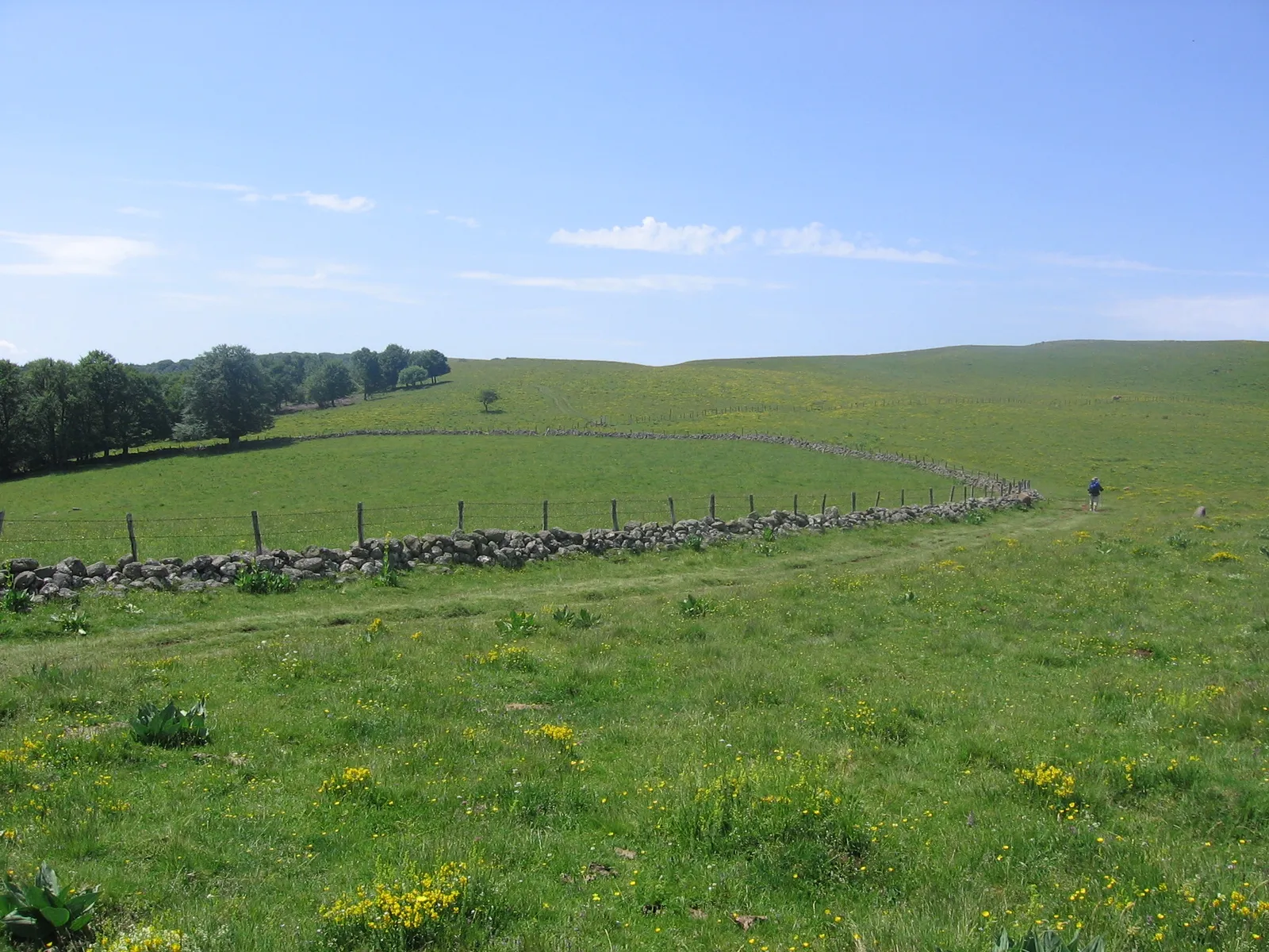
Photo: Graphophile, CC BY-SA 3.0, via Wikimedia Commons
- Distance
- 755 km (469 miles)
- Country
- France
- Difficulty
- Moderate
- Type of trip
- Hiking trail
The Via Podiensis, or Voie du Puy, is the Way of St James from Le Puy-en-Velay in the Haute-Loire to Saint-Jean-Pied-de-Port at the foot of the Pyrenees. It's waymarked as the GR 65 with the red and white stripes of the French hiking federation, the FFRandonnée. The Agence française des chemins de Compostelle puts it at 755 km in 32 stages, so a little over a month if you walk a stage a day. It crosses 8 départements. You sleep in gîtes, chambres d'hôtes, monastery guesthouses, hotels and campsites. The FFRandonnée says you'll find beds and meals all year but should book ahead. A credencial, the pilgrim passport, gets you into pilgrim-only places and is stamped as you go.
It was the first route to Santiago in France to be laid out for modern walkers, in 1970, and the agency says it's now the most used. The usual start is the pilgrims' mass in Le Puy cathedral. In November 2026 the cathedral's site gave 7 am every day from 1 April to 31 October, and 7:30 on weekdays from November to March, followed by a blessing. You then leave through the doors the cathedral calls point zero of the Via Podiensis. Near the end, at Ostabat, the routes from Vézelay and Tours join it. Saint-Jean-Pied-de-Port is where the Camino Francés starts, so you can carry straight on into Spain.
Highlights along the way
- Le Puy-en-Velay: The cathedral of Notre-Dame and the Hôtel-Dieu beside it are on the UNESCO list. Godescalc, bishop of Le Puy and the first recorded pilgrim from outside Spain, went to Santiago in 950 or 951 and founded the chapel of Saint-Michel on the rock of Aiguilhe when he came home.
- Aubrac: The path climbs to 1,307 m on this open plateau. The Domerie in the village of Aubrac was a monastery-hospital founded in the 12th century, and its bell, the cloche des perdus, was there for people lost on a plateau they used to fear.
- Conques: The abbey church of Sainte-Foy. The 12th-century pilgrims' guide names her as the one saint's body to visit on this route.
- Figeac, the Célé and Cahors: After Figeac you can stay on the main line or take the GR 651 down the Célé valley past Saint-Cirq-Lapopie, which rejoins upstream of Cahors. In Cahors you cross the Lot on the Pont Valentré.
- Moissac: The abbey of Saint-Pierre, known for its cloister and carvings, put up travellers. The Codex Calixtinus, in the 12th century, already called Moissac a place you had to pass through on the way to Santiago.
Distance
755 km (469 miles) from Le Puy-en-Velay to Saint-Jean-Pied-de-Port, in 32 stages of 14 to 34 km. The highest point is 1,307 m on the Aubrac. There are two well-known alternatives, the GR 651 through the Célé valley and the GR 652 via Rocamadour, which leaves at Figeac and rejoins at La Romieu after about 120 km and 6 days. Le Puy, Figeac, Cahors, Moissac and Saint-Jean-Pied-de-Port have trains, which helps if you walk it in sections.
Best time to go
The FFRandonnée calls the route walkable all year, with places to eat and sleep open all year, but it still says to book. Mass times in Le Puy change with the season, so check the cathedral's website before you plan your first morning. On the last weekend of May the cattle are walked up from the Lot valley to the Aubrac for the summer, and in October Conques carries the reliquary statue of Sainte Foy through the streets.
More journeys in France
- France June 2023 · Greg
- France Spain 2024 · Greg
- UK to Georgia by Bike · Simon & Lucy
- The Rick Trip · Phil
- Sailing Around The World · Adam
- Spain France Pyrenees 2026 · Greg
Flyby films from France
- PLM line - Champagnole to Pont-du-Navoy - 25483409 · CNJ tourisme
- Lamasquère Road Cycling · Michmich
- To sea, on a ferry, off the ferry · Phil
- The Great Escape · saeunn
More routes like this
- Camino de Santiago on foot · about 770 km (480 miles) · Spain, France
- GR 10 across the Pyrenees on foot · 866 km (538 miles) · France
- Tour des Fiz on foot · about 52 km (32 miles) · France
- Tour du Queyras on foot · about 130 km (81 miles) · France
- GR 34 (Sentier des douaniers) on foot · 2,000 km (1,240 miles) · France
- Via Alpina on foot · 2,000 km (1,240 miles) · Slovenia, Italy, Austria, Germany, Switzerland, Liechtenstein, France, Monaco