Tour des Fiz on foot
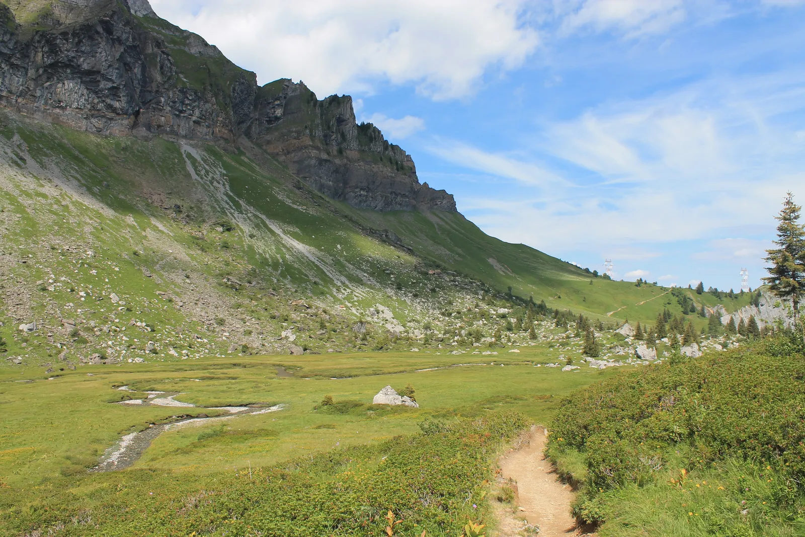
Photo: B. Brassoud, CC BY-SA 4.0, via Wikimedia Commons
- Distance
- about 52 km (32 miles)
- Country
- France
- Difficulty
- Moderate to challenging
- Type of trip
- Hiking trail
The Tour des Fiz goes round the Chaîne des Fiz, the line of cliffs between the Giffre valley and the Mont Blanc valley in Haute-Savoie. It isn't one fixed line. It's a network of paths and refuges that you put together yourself, starting from Plaine-Joux above Passy or from Sixt-Fer-à-Cheval. The Passy tourist office's 2026 map suggests three loops from Plaine-Joux, of three, four and six days, and its website says the tour takes two to four days depending on the variant. There are nine refuges on the way and you have to book them, online through the Mon refuge au Pays du Mont-Blanc site or by phone. Bus Y85 runs from Sallanches to Plaine-Joux.
Most of the tour is inside the Passy and Sixt-Passy nature reserves. Dogs are banned there, even on a lead, and so are fires. You can't swim or wash in the lakes. Bivouacking is tolerated overnight, but not at the Lac Vert or by the Refuge du Châtelet d'Ayères. You don't need any technical gear, but take good boots and warm clothes for the evenings. Not every refuge has running water; the tourist office lists six where you can fill a bottle. Some flocks are guarded by patous, big sheepdogs. If one comes up to you, stop, stay calm and let it sniff you.
Highlights along the way
- The Désert de Platé: The Refuge de Platé (2,032 m) sits beside a limestone plateau covered by one of the largest lapiaz, or limestone pavements, in Europe, according to the tourist office's map.
- The Dérochoir: Between Platé and the Châtelet d'Ayères the path climbs through a rockfall on ropes, steps and ladders. You don't need climbing gear, but the tourist office says to take it uphill and strongly advises against it in rain.
- The Lac d'Anterne: Below the Col d'Anterne (2,257 m), the Haute-Savoie Mont-Blanc tourist board calls it the largest mountain lake in Haute-Savoie. Swimming isn't allowed.
- The Sales valley: On the Sixt side the tour drops to the Refuge des Fonts (1,380 m), three small chalets, then climbs past the Sales waterfalls to the Refuge de Sales (1,877 m) under the Fiz cliffs.
- The Buet: From the Refuge du Grenairon you can add the Buet, about 3,100 m high. The tourist office's map gives 4 h 30 and 1,150 m of climbing, with an exposed passage, and the departmental tourist board says it's for experienced walkers only.
Distance
About 52 km (32 miles) for the full tour, Le Grand Tour, on the Passy tourist office's 2026 map, with 4,720 m of climbing over six days. The same map's shortest loop, L'Incontournable, is 32 km and 2,150 m of climbing in three days. The hardest, L'Intensif, packs 64.5 km and 5,150 m into four days, with two 20 km stages. The Haute-Savoie Mont-Blanc tourist board lists its own four-day loop from Passy at 60 km.
Best time to go
The tourist office's website (read in November 2026) says the tour can usually be walked from mid-June, or early July after a snowy winter, to the end of September, weather permitting. Its 2026 map says mid-June to mid-September. Before you set off, the map says to ring the Passy tourist office about current conditions, such as old snow, drought, closed paths and rockfalls. The refuge water points aren't guaranteed in a drought, so carry enough.
More journeys in France
- France June 2023 · Greg
- France Spain 2024 · Greg
- UK to Georgia by Bike · Simon & Lucy
- The Rick Trip · Phil
- Sailing Around The World · Adam
- Spain France Pyrenees 2026 · Greg
Flyby films from France
- PLM line - Champagnole to Pont-du-Navoy - 25483409 · CNJ tourisme
- Lamasquère Road Cycling · Michmich
- To sea, on a ferry, off the ferry · Phil
- The Great Escape · saeunn
More routes like this
- Camino de Santiago on foot · about 770 km (480 miles) · Spain, France
- Chemin de Stevenson (GR 70) on foot · 272 km (169 miles) · France
- Tour du Mont Blanc trek · about 170 km (105 miles) · France, Italy, Switzerland
- Via Alpina on foot · 2,000 km (1,240 miles) · Slovenia, Italy, Austria, Germany, Switzerland, Liechtenstein, France, Monaco
- Tour du Queyras on foot · about 130 km (81 miles) · France
- Jakobsweg on foot · about 770 km (480 miles) · Germany, Spain, France, Austria