Chemin de Stevenson (GR 70) on foot
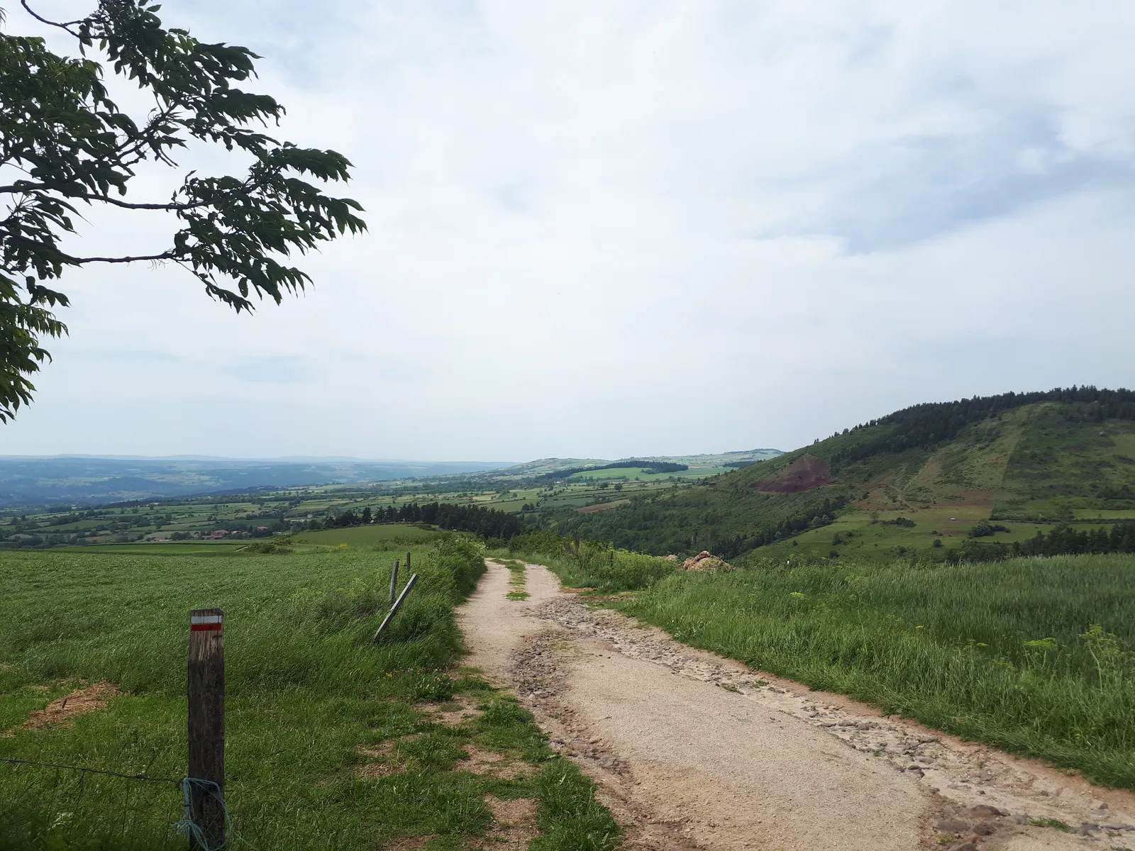
Photo: TouN, CC BY-SA 4.0, via Wikimedia Commons
- Distance
- 272 km (169 miles)
- Country
- France
- Difficulty
- Moderate
- Type of trip
- Hiking trail
The Chemin de Stevenson follows the walk Robert Louis Stevenson made through the Cévennes in the autumn of 1878 with a donkey called Modestine. It's waymarked as the GR 70 with the red and white stripes of the French hiking federation, the FFRandonnée, which adopted it in 1994. The association that looks after it, Sur le chemin de Robert Louis Stevenson, gives 272 km from Le Puy-en-Velay to Alès, through the Haute-Loire, Ardèche, Lozère and Gard, and says to allow 12 to 14 days. The usual split is 12 stages of about 20 km. It says to book your beds ahead, especially as a group, because some stages fill up, and to start on a weekday rather than at the weekend.
Stevenson set off on 22 September 1878 and reached Saint-Jean-du-Gard on 3 October, about 200 km in 12 days. His book, Travels with a Donkey in the Cévennes, came out in 1879. He'd meant to go on to Alès but took a coach instead because of the state of the donkey. Strictly the GR 70 runs from Le Monastier-sur-Gazeille, where he stayed before setting off, to Saint-Jean-du-Gard, but Le Puy and Alès are the usual ends because they have stations. You can still walk it with a donkey carrying your bags. In November 2026 the association's site, chemin-stevenson.org, listed donkey hirers along the route, from the Velay down to Molezon in the Cévennes.
Highlights along the way
- Le Monastier-sur-Gazeille: Stevenson stayed here before the walk, and it's the official start of the GR 70. One of the donkey hirers on the association's list is in the village.
- Notre-Dame-des-Neiges: A Trappist abbey founded in 1850 at about 1,100 m in the Ardèche, reached by a variant off the main line. Stevenson stayed with the monks on 26 September 1878 and they take up a good part of the book. The monks left in 2022 and Cistercian nuns now run it.
- Mont Lozère: The Pic de Finiels, at 1,699 m, is the highest point of the route, on a bare granite massif scattered with rounded boulders. The association says that from the top you can see from the Alps to the Pyrenees.
- Le Pont-de-Montvert: A village on the Tarn with an old bridge that's a listed monument. The Camisard war, the revolt of the Cévennes Protestants, began here on 24 July 1702 with the killing of François de Langlade du Chayla. Stevenson came through on 29 September 1878.
- Saint-Jean-du-Gard: Where Stevenson's walk ended on 3 October 1878 and where the GR 70 officially finishes. The association's route carries on to Alès.
Distance
272 km (169 miles) from Le Puy-en-Velay to Alès by the association's count. The route goes from 128 m up to 1,699 m. The association splits it into four sections of about 3 days: Le Puy to Langogne 70 km, Langogne to Chasseradès 60 km, Chasseradès to Florac 65 km and Florac to Alès 77 km. Le Puy and Alès both have railway stations. Le Puy is also the start of the Via Podiensis to Santiago, which heads west on the GR 65.
Best time to go
The association says May to October, because the path climbs to 1,700 m. You can walk it in winter on snowshoes or cross-country skis if you have mountain experience, but snow can hide the waymarks and the snowstorms locals call the tourmente are dangerous. Hosts marked with a snowflake on the association's site promise to open from All Saints to Easter, and in winter you have to book at least 8 days ahead and ring the day before. Out of season, check that places to sleep and buy food are open before you set off.
More journeys in France
- France June 2023 · Greg
- France Spain 2024 · Greg
- UK to Georgia by Bike · Simon & Lucy
- The Rick Trip · Phil
- Sailing Around The World · Adam
- Spain France Pyrenees 2026 · Greg
Flyby films from France
- PLM line - Champagnole to Pont-du-Navoy - 25483409 · CNJ tourisme
- Lamasquère Road Cycling · Michmich
- To sea, on a ferry, off the ferry · Phil
- The Great Escape · saeunn
More routes like this
- GR20 trek · about 180 km (112 miles) · Corsica, France
- Chemin de Saint-Guilhem on foot · about 240 km (149 miles) · France
- Via Alpina on foot · 2,000 km (1,240 miles) · Slovenia, Italy, Austria, Germany, Switzerland, Liechtenstein, France, Monaco
- Haute Route trek · about 215 km (134 miles) · France, Switzerland
- GR 5 through the Alps on foot · about 620 km (385 miles) · France
- Camino de Santiago on foot · about 770 km (480 miles) · Spain, France