Berliner Höhenweg on foot
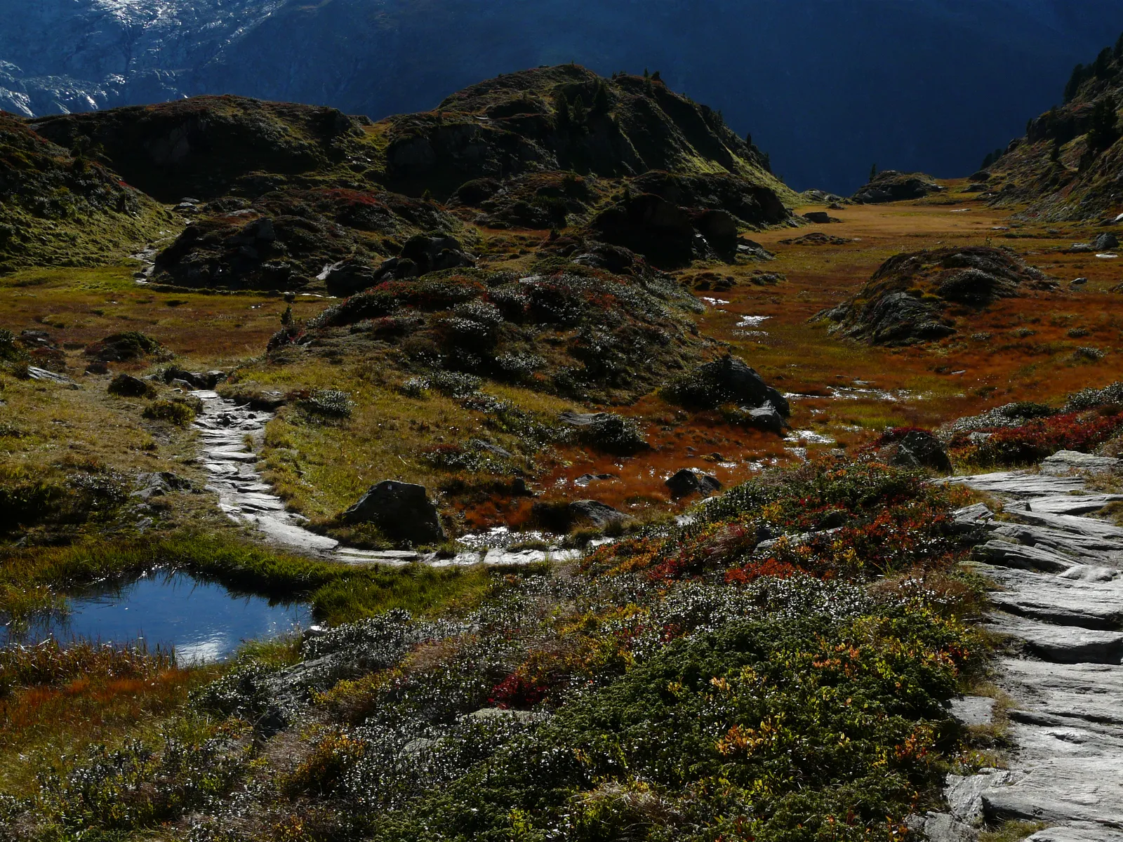
Photo: Whgler, CC BY-SA 3.0, via Wikimedia Commons
- Distance
- 70 km (43 miles)
- Country
- Austria
- Difficulty
- Challenging
- Type of trip
- Hiking trail
The Berliner Höhenweg, now also called the Zillertaler Runde, is a hut-to-hut route through the Zillertal Alps nature park in Tirol. It runs from the Gamshütte above Finkenberg to the Karl-von-Edel-Hütte above Mayrhofen, past 8 Alpine Club huts, and you can walk it either way. The German Alpine Club's brochure puts it at more than 70 km and about a week. Every hut has a path down to the valley and the valley villages are linked by public transport, so you can walk just part of it. The huts open roughly from early June to the end of September, and the brochure advises booking a bed in July and August.
It isn't a glacier route and there's no roped climbing, but there are plenty of exposed places, some with fixed cables, and the brochure says it's for experienced mountain walkers only. Walk the Gamshütte to Friesenberghaus and Kasseler Hütte to Karl-von-Edel-Hütte stages only when it's dry, because the steep grass gets very slippery in the wet. The stage from the Berliner Hütte to the Greizer Hütte has a ladder several metres long, so it's no good with a dog. The oldest piece, over the Schönbichler Horn, was built in 1889, and the last section was finished in 1976.
Highlights along the way
- Gamshütte to Friesenberghaus: The first full stage is the long one, about 15 km and 9.5 hours on narrow paths, often with nobody else on it even in high summer. It passes the Kesselalm and the Wesendlekarsee, and there are emergency ways down at the Graue Platte, the Pitzenalm and the Kesselalm.
- Schlegeisspeicher: Between the Olpererhütte and the Furtschaglhaus you come down to this reservoir, built between 1965 and 1973, and follow the road along it for about 3.5 km.
- Schönbichler Horn: The highest point of the walk, at 3,134 m on the stage from the Furtschaglhaus to the Berliner Hütte. A steep gully with cables leads up the south ridge, and the way down the east side is exposed and cabled. The brochure strongly recommends a via ferrata set in snow, frost or wet.
- Berliner Hütte: At 2,044 m, built in 1879 as the first hut in the Zillertal and a listed monument since 1997. From here the next stage climbs past the Schwarzsee to the Mörchenscharte at 2,872 m, with cables and a ladder on the way down to the Floitengrund.
- Siebenschneidensteig: The last stage, from the Kasseler Hütte to the Karl-von-Edel-Hütte, crosses seven ridges in 14 km and about 9 hours. There's no emergency way down and nowhere to fill up with water on the whole stretch, though there's an open bivouac hut about 3 hours in.
Distance
More than 70 km (43 miles) in all, with about 6,700 m of climbing, by the Alpine Club's figures. Hut-to-hut days run from about 2.5 hours, Friesenberghaus to Olpererhütte, to 9.5 hours, Gamshütte to Friesenberghaus. To start, it's about 3 hours and 1,000 m of climbing from Finkenberg up to the Gamshütte. At the end the Ahornbahn cable car takes you down to Mayrhofen, or you can walk, which is 1,600 m of descent.
Best time to go
Wikipedia gives mid-July to mid-September as the best time, though most huts open from mid-June. Snow can lie on the passes in June and July, and steep snowfields can be dangerous into July, especially on the north side of the Mörchenscharte. Opening dates vary from hut to hut, so check each one on alpenverein.de or alpenverein.at before you book.
More journeys in Austria
- St Malo- Vienna- ...? · Lucy
- Greece - Sweden · Giorgos
- Passau - Vienna · JereFü
Flyby films from Austria
- Day 18 · Giorgos
- Dag 8: Schongau - Innsbruck · johan
- PASSAU - VIENNA · JereFü
- St Malo to Vienna · Lucy
More routes like this
- Lechweg on foot · about 125 km (78 miles) · Austria, Germany
- Austrian Way of St James · about 750–800 km (466–497 miles) · Austria, Germany
- Via Alpina on foot · 2,000 km (1,240 miles) · Slovenia, Italy, Austria, Germany, Switzerland, Liechtenstein, France, Monaco
- E5 from Oberstdorf to Meran on foot · about 120 km (75 miles) · Germany, Austria, Italy
- Munich to Venice on foot (Traumpfad) on foot · about 550 km (340 miles) · Germany, Austria, Italy
- Stubaier Höhenweg on foot · about 80 km (50 miles) · Austria