Larapinta Trail
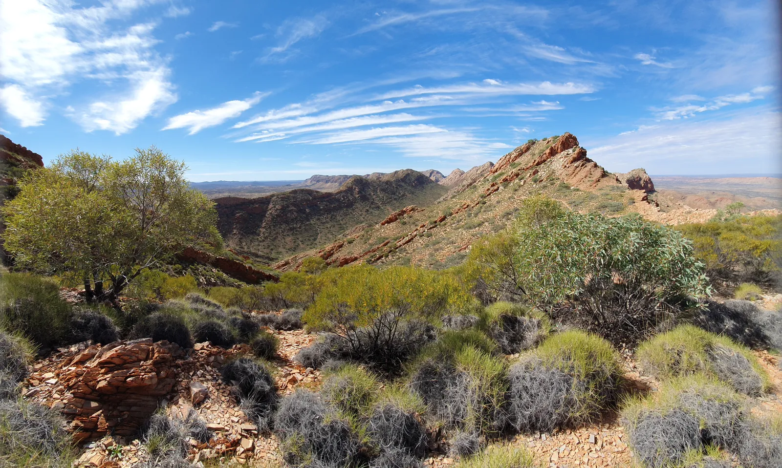
Photo: Kattastroffee1976, CC BY-SA 4.0, via Wikimedia Commons
- Distance
- about 223 km (139 miles)
- Country
- Australia
- Difficulty
- Challenging
- Type of trip
- Hiking trail
The Larapinta Trail follows the spine of the West MacDonnell Ranges in the Northern Territory, starting at the old Telegraph Station in Alice Springs and heading west through Tjoritja / West MacDonnell National Park to the top of Mount Sonder. It's about 223 km in 12 sections, and each section takes one or two days. Tourism Central Australia says to allow at least 14 days for the whole trail. Every trailhead can be reached by four-wheel drive, so you can join or leave at any of them and walk only part of it.
You camp the whole way. Most campsites have tent pads and picnic tables, and most have toilets. NT Parks asks multi-day walkers to book trail use and campsites online before they arrive, and there are walker and camping fees on top of the NT Parks Visitor Pass. Every trailhead has water, which you need to treat, but some long stretches have no tanks, so you carry what you need. Keys for the food storage boxes come from the Alice Springs Visitor Information Centre. If you walk on your own, organise ground support and tell the authorities your plans.
Highlights along the way
- Simpsons Gap: A gap in the range 18 km west of Alice Springs, with a pool that holds water all year. Watch the rocks for black-footed rock-wallabies. Section 1 ends here.
- Standley Chasm (Angkerle Atwatye): A narrow chasm on land owned by the Iwupataka Land Trust. It's in shade most of the day and changes colour around noon, when the sun is straight overhead, so midday is when it's busiest.
- Ellery Creek Big Hole: One of the trail's permanent waterholes, along with Ormiston Gorge and Glen Helen.
- Ormiston Gorge: Ormiston Pound sits roughly halfway along the trail, about 135 km west of Alice Springs. The gorge has another of the permanent waterholes.
- Mount Sonder (Rwetyepme): The trail finishes on the top, at 1,380 m. It's the highest point on the trail and the fourth highest mountain in the Northern Territory.
Distance
About 223 km (139 miles), the figure Tourism Central Australia and Wikipedia give; the Northern Territory tourism site says 231 km (144 miles). It's split into 12 sections. The first, from the Telegraph Station to Simpsons Gap, is 24.7 km. Kilometre posts mark the way, though they aren't always accurate, and in one or two places you won't pass any water all day. Allow at least 14 days for the whole thing, or pick single sections, since each trailhead has a four-wheel-drive track.
Best time to go
Go between April and September. Those are the only months when campsite facilities and water supplies are serviced, and most people walk in June, July and August. Central Australia gets extreme heat from October to March. NT Parks warns it can go over 40°C, the sites and water aren't kept up, commercial trips stop, and walking is strongly discouraged. Nights can be cold in winter too, so pack for both. Before you set off, check the Larapinta Trail current conditions page on nt.gov.au for floods, track work and heat warnings (advice as of November 2026).
More journeys in Australia
- Western Australia · Newluks
- Katoomba tourist! · Greg
- North With Larinda · Chris
- World Trip - Zero Impact Expedition · David
Flyby films from Australia
- Pacific Crossing - Panama To Austra · David
- Katoomba! · Greg
- South Bound. · Chris
- Turning Toward Home · Newluks
More routes like this
- Bibbulmun Track · about 1,000 km (620 miles) · Australia
- Three Capes Track · 48 km (30 miles) · Australia
- Overland Track · 65 km (40 miles) · Australia
- Heysen Trail · about 1,200 km (750 miles) · Australia
- Great Ocean Walk · about 100 km (62 miles) · Australia
- Cape Wrath Trail · about 320 km (200 miles) · Scotland