Heysen Trail
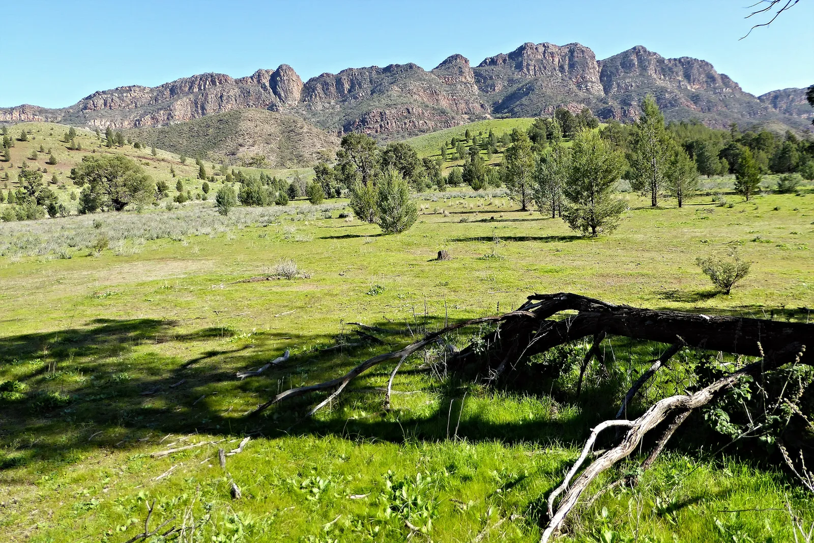
Photo: NomadicPics, CC BY 2.0, via Wikimedia Commons
- Distance
- about 1,200 km (750 miles)
- Country
- Australia
- Difficulty
- Challenging
- Type of trip
- Hiking trail
The Heysen Trail is a walking trail of about 1,200 km in South Australia. It runs from Cape Jervis on the Fleurieu Peninsula, through the Adelaide Hills, the Barossa Valley and the Mid North, to Parachilna Gorge in the Flinders Ranges, near Blinman. It's named after the painter Sir Hans Heysen and was finished in 1993. Walking the whole thing takes around 60 days. Some experienced walkers do it in one go, but most people walk it in sections, a day or a few days at a time. The Friends of the Heysen Trail, a volunteer group, look after it with the South Australian government, and they only recommend walking it on your own if you're an experienced hiker.
The huts, campsites and shelters the Friends look after are free and can't be booked, so carry a tent in case they're full. Huts are mostly old stone or timber cottages, very basic, with a sleeping platform and a fireplace. Huts and campsites in national parks and forests charge a fee and have to be booked. Because so much of the trail crosses farms, camp only at the marked sites. Most huts and shelters have a rainwater tank, but it can be empty, so carry enough water, and tank water may need treating.
Highlights along the way
- Wild South Coast Way: The first 68 km, from Cape Jervis to Kings Beach Road near Victor Harbor, follow the south coast of the Fleurieu Peninsula, with walk-in campsites along the way. It stays open through the fire season.
- Mount Lofty: About 207 km from Cape Jervis the trail passes just below the summit café on Mount Lofty. The first piece of the trail, 9 km in Cleland Conservation Park, opened near here in 1976.
- The Cedars: Hans Heysen's home, near Hahndorf in the Adelaide Hills, is right on the trail. Heysen (1877–1968) was born in Germany and painted the Australian bush in watercolour, much of it in the Mount Lofty and Flinders Ranges.
- Burra: The trail reaches Burra after about 489 km. Its first copper mine was soon known as the Monster Mine, and for 15 years the Burra mines produced 89% of South Australia's copper and 5% of the world's.
- Wilpena Pound: Ikara in the Adnyamathanha language, a great natural amphitheatre of mountains in Ikara-Flinders Ranges National Park. The trail passes the caravan park at Wilpena about 66 km before the northern end.
Distance
About 1,200 km (750 miles) is the figure the Friends give. Their GPS tables from September 2026 put the main trail at 1,081.88 km from Cape Jervis to the Parachilna Gorge trailhead, with a temporary reroute near Georgetown that's about 16 km shorter than the trail will be when it's restored. Going north on the main trail, it's about 68 km to Kings Beach Road, 325 km to Tanunda, 489 km to Burra and 766 km to Melrose.
Best time to go
Much of the trail is closed during the Fire Danger Season, which is usually November to April, so plan longer walks for May to October. The South Australian Country Fire Service (CFS) sets the dates for each fire ban district and can extend them, and the Heysen Trail and ForestrySA huts and campsites close at the same time. In 2026 the trail closed from Wirrabara to Parachilna on 15 October and from Tanunda to Wirrabara on 1 November. On 3 November 2026 the Friends said no date had been set yet for the Mount Lofty Ranges district, so the trail south of Tanunda was still open. The Wild South Coast Way stays open all year except on days of catastrophic fire danger. Check the reroutes and closures page on heysentrail.asn.au and the CFS website before you set off.
More journeys in Australia
- Western Australia · Newluks
- Katoomba tourist! · Greg
- North With Larinda · Chris
- World Trip - Zero Impact Expedition · David
Flyby films from Australia
- Pacific Crossing - Panama To Austra · David
- Katoomba! · Greg
- South Bound. · Chris
- Turning Toward Home · Newluks
More routes like this
- Bibbulmun Track · about 1,000 km (620 miles) · Australia
- Larapinta Trail · about 223 km (139 miles) · Australia
- Three Capes Track · 48 km (30 miles) · Australia
- Overland Track · 65 km (40 miles) · Australia
- Great Ocean Walk · about 100 km (62 miles) · Australia
- Via degli Dei on foot · 124 km (77 miles) · Italy