Great Alpine Road
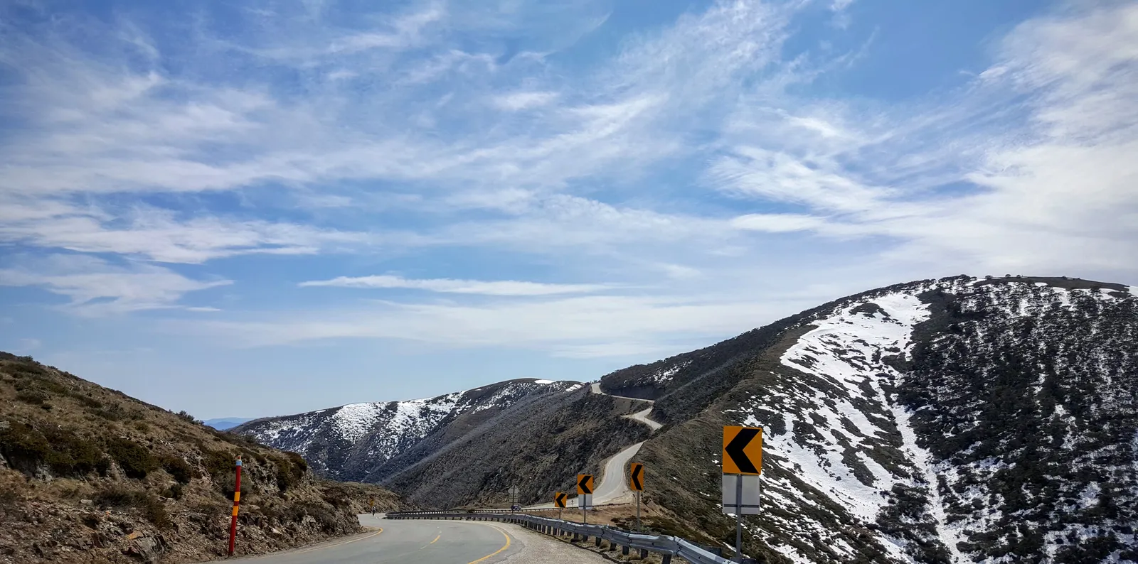
Photo: DumindaRanasinghe, CC BY-SA 4.0, via Wikimedia Commons
- Distance
- 304 km (189 miles)
- Country
- Australia
- Difficulty
- Easy to moderate
- Type of trip
- Road trip
The Great Alpine Road runs 304 km across the Victorian Alps in south-east Australia, from Wangaratta in north-east Victoria to Bairnsdale in East Gippsland. It goes through Myrtleford, Bright and Harrietville, over Mount Hotham, then on through Dinner Plain, Omeo, Swifts Creek, Ensay and Bruthen. At 1,840 m on Mount Hotham it's Australia's highest sealed road that's open all year round. It got its name in late 1996, when the Ovens Highway, the old Alpine Road and the southern end of the Omeo Highway were put together, and VicRoads runs it as route B500. It's a through road, not a loop. It ends at the Princes Highway on the edge of Bairnsdale, which goes on to Lakes Entrance one way and Melbourne the other.
Winter changes things. Between Harrietville and Omeo you have to carry diamond-pattern snow chains in the declared snow season, and not every vehicle can fit them, so check yours first. In the winter season any vehicle that stops inside the Mount Hotham resort, even for a drop-off, needs a resort entry permit for each day. If you drive straight through and leave by the other side, you don't. There are checkpoints at Harrietville and at Mother Johnsons, between Dinner Plain and Hotham, where you can be asked to show your permit and your chains. The Dargo High Plains Road, which turns off at Hotham Heights, is open in summer only.
Highlights along the way
- Bright: A town of 2,620 people at the 2021 census, 319 m up at the south-east end of the Ovens Valley, 76 km from Wangaratta. Tourism here is built round the autumn colour of the European trees planted in the town.
- Hotham Heights: In 1923 the Country Roads Board put Bill Spargo in charge of the road between Harrietville and Omeo. He lived in a stone cottage at Hotham Heights, which was enlarged for skiers and opened as a guesthouse in 1925, the start of what's now the Hotham Alpine Resort.
- Mount Hotham: The high point of the road, at 1,840 m, 132 km from Wangaratta. In winter it's under snow and has to be cleared every day.
- Dinner Plain: About 10 km on from Mount Hotham. The last stretch of the road to be sealed, 12 km between Dinner Plain and Horsehair Plain, was only finished in 1997–98.
- Omeo: A small town, 406 people at the 2016 census, 183 km from Wangaratta. The name comes from an Aboriginal word for mountains or hills, and it's still where people from Benambra, Swifts Creek, Ensay and other places nearby come to shop.
Distance
304 km (189 miles) from Wangaratta to the Princes Highway at Lucknow, on the edge of Bairnsdale. Along the way it's 45 km to Myrtleford, 76 km to Bright, 101 km to Harrietville, 132 km to Mount Hotham, 142 km to Dinner Plain, 183 km to Omeo and 281 km to Bruthen.
Best time to go
The road is open all year, but winter is a different trip. In the declared snow season you need chains between Harrietville and Omeo and a resort entry permit if you stop at Hotham, and extreme weather can close the road between Harrietville and Omeo. Autumn is when Bright makes the most of its trees, with an autumn festival. After the winter season ends, the Hotham resort still recommends carrying chains, because the weather up there can be unpredictable for months afterwards. On 3 November 2026 the resort said its winter season was over and permits were no longer needed, and showed both the Harrietville and Omeo approaches as open. Check the roads page on mthotham.com.au and the VicRoads traffic reports for closures before you go.
More journeys in Australia
- Western Australia · Newluks
- Katoomba tourist! · Greg
- North With Larinda · Chris
- World Trip - Zero Impact Expedition · David
Flyby films from Australia
- Pacific Crossing - Panama To Austra · David
- Katoomba! · Greg
- South Bound. · Chris
- Turning Toward Home · Newluks
More routes like this
- Great Ocean Road trip · 243 km (151 miles) · Australia
- Transpirenaica by motorbike road trip · 930 km (578 miles) · Spain, France, Andorra
- Stelvio Pass road trip · 49 km (30 miles) · Italy
- Transfăgărășan road trip · about 151 km (94 miles) · Romania
- Romantic Road · about 460 km (290 miles) · Germany
- Wild Atlantic Way road trip · 2,500 km (1,553 miles) · Ireland