How to map and journal your vanlife travels

Living in a van, you move on most days. You stop where it looks good, take the long way round, and after a few weeks the places start to run together: which car park had the view, which town had the good bakery, where you had that long chat with the people parked next door.

Photos don't fix that on their own. Your camera roll is a pile of pictures in date order, and it doesn't show the road between them, which is most of vanlife.
Pebbls records the road as you drive, and you pin the places you want to remember on the same map. Family and friends can follow it from home.
Record the road as you drive
Start a journey before you set off and tap TRACK. The app records the route in the background with the screen off and draws it on the map as you go. Split the journey into chapters, a week or a country or a stretch of coast, so it's easy to read back later.
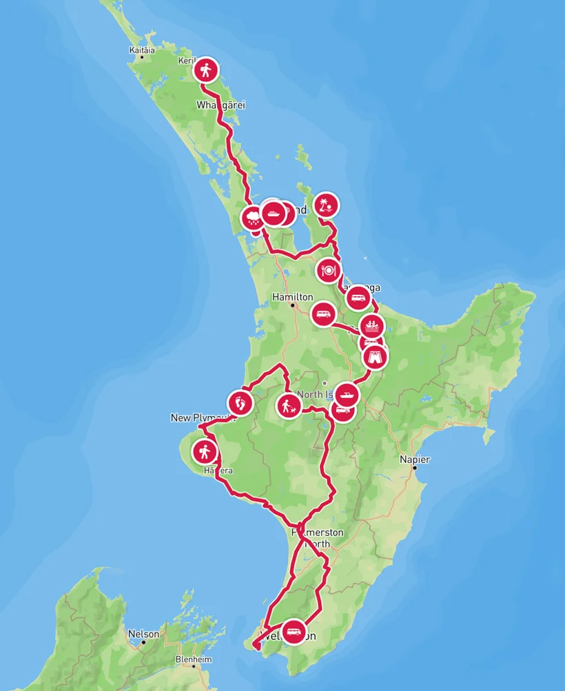
Nick's trip round the North Island is a good example.
Pick campervan as your transport, and change it when you leave the van for a walk or a ferry. The new transport applies from that point on, so the map shows each part the way you travelled it.
Put the phone on the dashboard or a windscreen mount, where it can see the sky. Under a seat or in the glovebox the signal suffers, and tunnels and multi-storey car parks will break it for a moment.
When you're parked up for a few days, stop tracking until you move on. If you forget, auto-stop turns it off after 6 hours without moving, and warns you first.
Pin the places worth remembering
When somewhere is worth remembering, tap PEBBL. A pebbl is a photo, a note or both, pinned to the map where it happened: the sunset from the roof of the van, or the bakery you'd drive back for. You can add up to 5 photos or videos to a pebbl.
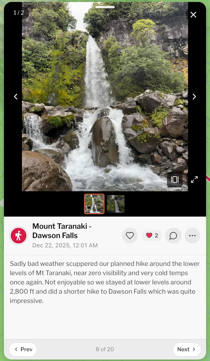
Write a line or two while it's fresh. The photos show what a place looked like. The note is how you'll remember why you stopped.
If you'd rather not show exactly where you slept, location masking moves a pebbl's pin a random distance from the spot, at least 500 m and up to 20 km or more. You can also hide the first or last part of a chapter's route. Both are free.

No signal
Plenty of the best places to park have no signal. Tracking carries on without it and uploads when you're back in range, and pebbls you add offline wait on the phone until then. To see the map out there, download the area before you go under Settings › Offline Maps. You can keep 1 region on the free plan, or 4 with Explorer.
Let family follow along
Send family and friends the journey's link. They open it in a browser with no app, see the route and your pebbls, and can tap Follow along to get a message when you post. The map updates a few times an hour whenever you have signal. With Explorer, the map keeps up with the van as you drive.
If you have a blog, you can put the map on it and it updates as you go. The help page on embedding explains how.
Afterwards
Most chapters get a flyby film, made for you and free: a 3D film that flies along the road you drove, with your photos where you took them. A chapter needs at least 2 pebbls and 3 photos for one.
Everything above is free except faster map updates, videos and the extra map regions, which come with an Explorer membership along with private journeys.
Start a journey before your next drive and see what the map looks like after a week.