Pieterpad on foot
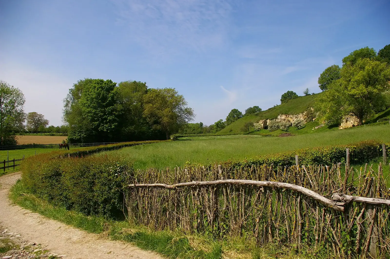
Photo: MartinD, CC BY-SA 3.0, via Wikimedia Commons
- Distance
- 500 km (310 miles)
- Country
- Netherlands
- Difficulty
- Easy
- Type of trip
- Hiking trail
The Pieterpad runs the length of the Netherlands, from Pieterburen near the Wadden coast to the Sint-Pietersberg outside Maastricht. It's a little over 500 km in 26 day stages, most of them 15 to 22 km; the shortest is 12 and the longest 25. Every stage starts and ends somewhere you can reach by bus or train, so plenty of people walk it a day or a weekend at a time.
Two friends, Toos Goorhuis-Tjalsma and Bertje Jens, worked out the route between 1978 and 1983. White and red stripes mark it the whole way, in both directions. The north is open farmland round Groningen, then the Hondsrug in Drenthe with its hunebedden. The first hills come in Salland, near Holten. After the castle at Vorden it's the wooded Achterhoek, then Montferland and a long stretch beside the Maas. It finishes on the Sint-Pietersberg, at a viewpoint over the ENCI quarry.
Highlights along the way
- Pieterburen and the Wadden coast: The walk starts in Pieterburen, near the Wadden coast. The first days take you south through the open farmland round Groningen.
- The Hondsrug and the hunebedden at Rolde: In Drenthe the route reaches the Hondsrug. On the stage from Zuidlaren to Rolde you pass two hunebedden, D17 and D18.
- Kasteel Vorden: The castle dates from the 13th to 16th century and sits on both the Laren to Vorden and Vorden to Zelhem stages. Vorden is where the northern half ends and the southern half begins.
- Montferland and the Maas: After the woods of the Achterhoek you come to Montferland. From Gennep the route follows the Maas through north Limburg for a long way.
- The Sint-Pietersberg and the ENCI viewpoint: The last stage ends on the Sint-Pietersberg outside Maastricht, on a viewing platform above the ENCI quarry.
Distance
A little over 500 km (310 miles), split into 26 day stages. Most are 15 to 22 km. The shortest is Pieterburen to Winsum at 12 km and the longest is Braamt to Millingen aan de Rijn at 25 km. Stages 1 to 13 make up the northern half, from Pieterburen to Vorden, and stages 14 to 26 the southern half, from Vorden to the Sint-Pietersberg. The two guidebooks walkers use are split the same way: Deel 1 covers Pieterburen to Vorden and Deel 2 Vorden to Sint Pietersberg. Every stage starts and ends somewhere you can reach by bus or train, so you can walk it in pieces.
Best time to go
Stichting Pieterpad doesn't name a best season, but the time of year matters in one place. Near the end of the Braamt to Millingen aan de Rijn stage you cross the Rhine on a ferry for walkers and cyclists. From April to September it goes every hour, and from October to March every two hours. It doesn't run between Christmas and New Year, or in heavy storms, thick fog, or very high or low water. In autumn 2026 the river was very low, so check the ferry's website on the day. The path keeps to unpaved tracks where it can, so expect mud after rain, and look at pieterpad.nl for diversions before you go.
More journeys in Netherlands
- North Sea Route · Kaparepel
- Hiking · Aswin Karunakaran
Flyby films from Netherlands
- Plane trip Saturday · fredmarien
- t-Zand · Aswin Karunakaran
- Stage002&003 · Kaparepel
- Belgium · Harry
More routes like this
- Pelgrimspad on foot · about 456 km (283 miles) · Netherlands, Belgium
- Maarten van Rossumpad on foot · about 384 km (239 miles) · Netherlands
- Trekvogelpad on foot · about 414 km (257 miles) · Netherlands
- Marskramerpad on foot · about 372 km (231 miles) · Netherlands, Germany
- Westerborkpad on foot · about 340 km (211 miles) · Netherlands
- Noaberpad on foot · about 463 km (288 miles) · Netherlands, Germany