Goldsteig on foot
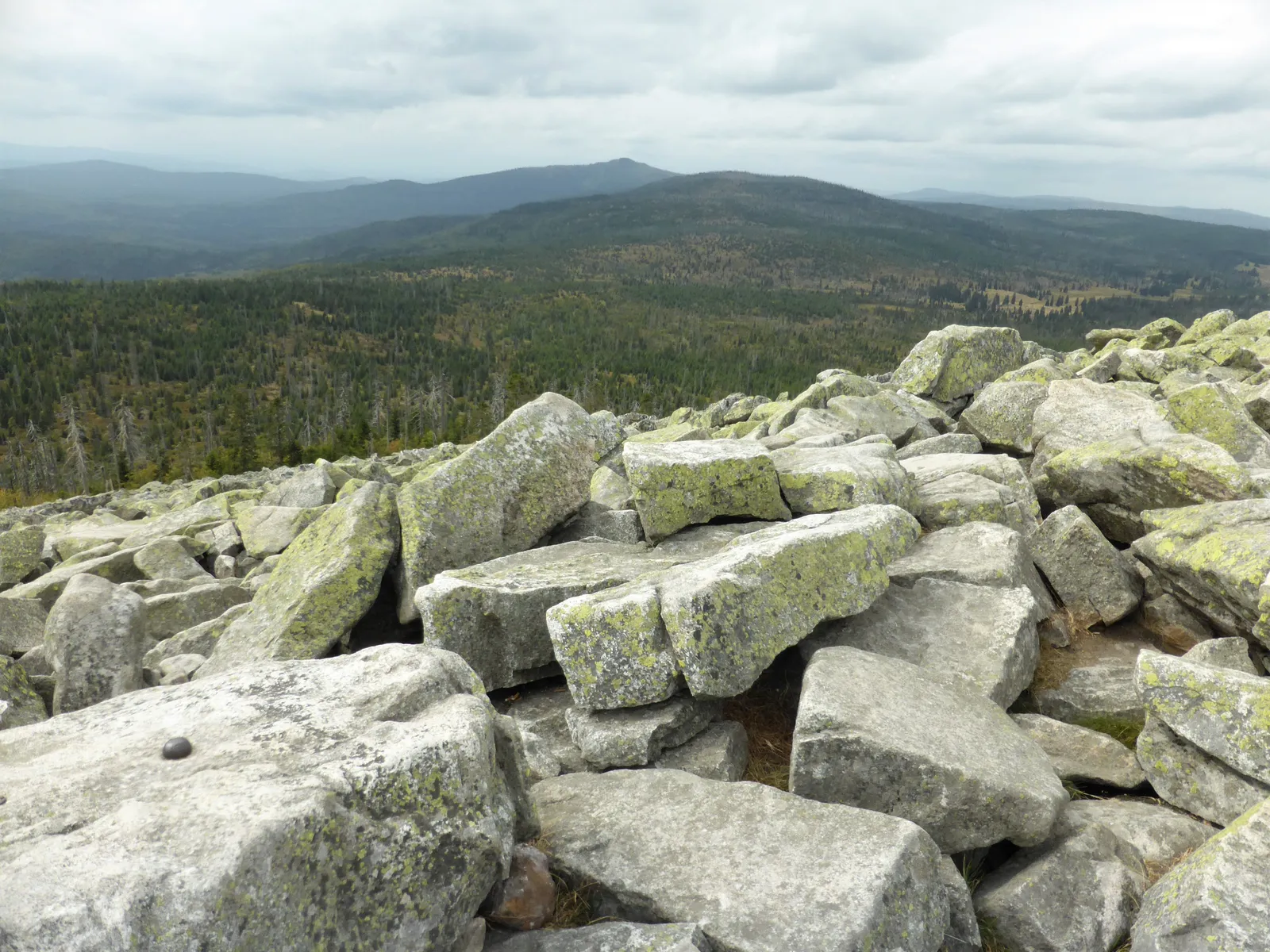
Photo: Rosa-Maria Rinkl, CC BY-SA 4.0, via Wikimedia Commons
- Distance
- about 660 km (410 miles)
- Country
- Germany
- Difficulty
- Moderate to challenging
- Type of trip
- Hiking trail
The Goldsteig runs from Marktredwitz, at the edge of the Fichtelgebirge, through the Upper Palatinate Forest and the Bavarian Forest to Passau. Shortly after Thanstein it splits. The north route is the hard one: it climbs the thousand-metre tops along the Czech border, the Arber, Rachel and Lusen among them, and crosses the Bavarian Forest National Park. The south route is gentler, over the hills of the Vorderer Bayerischer Wald. They meet again just before Passau. The official site splits the whole thing into 38 stages, seven shared and the rest on one route or the other, and most days are 4 to 9 hours of walking.
It opened in September 2007, mostly on the line of older long-distance paths, including the E6 and E8. A yellow S marks the main route; a blue S marks link paths and loops. You sleep in guesthouses and hotels in the villages, and there are mountain inns and huts that need booking in good time. There are campsites and a few bookable trekking pitches, but wild camping needs the landowner's permission. It isn't a bike route: much of it is on footpaths through nature reserves and the national park where cycling is banned.
Highlights along the way
- Waldnaabtal: On stage 3 the path follows the Waldnaab through a deep, narrow valley where granite blocks 30 to 50 m high line the river.
- Burg Leuchtenberg: Stages 5 and 6 pass this castle ruin, the most important in the Upper Palatinate.
- Kaitersberg and the Großer Arber: Stage N12 crosses the rocky Kaitersberg ridge. Stage N13, from Eck, goes over eight summits above 1,000 m and finishes on the Großer Arber, at 1,456 m the highest point of the Bavarian Forest.
- Lusen: On stage N17 the north route crosses the boulder field on the Lusen summit, inside the Bavarian Forest National Park, which was founded in 1970 and is Germany's oldest forest national park.
- Falkenstein and the Höllbachtal: On the south route, stage S11 passes the castle park at Falkenstein and S12 goes through the Höllbachtal nature reserve on unsurfaced paths. On clear days you can see the Alps from the higher ground.
Distance
About 660 km (410 miles) of main trail in all, counting both routes. The shared section from Marktredwitz to Oberviechtach is seven stages and about 125 km (78 miles). After the split, German Wikipedia gives 291 km (181 miles) for the north route and 253 km (157 miles) for the south. Stages run from 8 to 31 km (5 to 19 miles); N16, from the Großer Falkenstein to the Großer Rachel, is 26 km (16 miles) and the only one rated very hard.
Best time to go
The Goldsteig is planned for the months outside winter. The official site says snow can lie on the high parts of the Bavarian Forest until June, so late spring on the north route can still mean snow. To protect capercaillie you must stay on marked paths in the core zone of the national park from 16 November to 14 July, and around the Arber and the Dreisessel from 1 November to 30 June, though the Goldsteig itself stays open. In November 2026 the Waldschmidthaus on the Rachel was closed for rebuilding, with reopening planned for the end of 2026, and there were diversions on stages N11 and N16. Check the trail notices on goldsteig-wandern.de before you go.
More journeys in Germany
- Cycle Exped to Japan via Finland · Mark
- The Great Spirits Route · johan
- UK to Georgia by Bike · Simon & Lucy
- Denmark! · Christopher
- Istanbul To Ashby · Harry
- Beer hike · Christopher
Flyby films from Germany
- Dag 8: Schongau - Innsbruck · johan
- Stuttgart-Amsterdam · JereFü
- St Malo to Vienna · Lucy
- The Start · Christopher
More routes like this
- Jakobsweg on foot · about 770 km (480 miles) · Germany, Spain, France, Austria
- E5 from Oberstdorf to Meran on foot · about 120 km (75 miles) · Germany, Austria, Italy
- Via Alpina on foot · 2,000 km (1,240 miles) · Slovenia, Italy, Austria, Germany, Switzerland, Liechtenstein, France, Monaco
- Moselcamino on foot · about 160 km (99 miles) · Germany
- Pfälzer Weinsteig on foot · about 172 km (107 miles) · Germany
- Austrian Way of St James · about 750–800 km (466–497 miles) · Austria, Germany