Neckartal-Radweg by bike
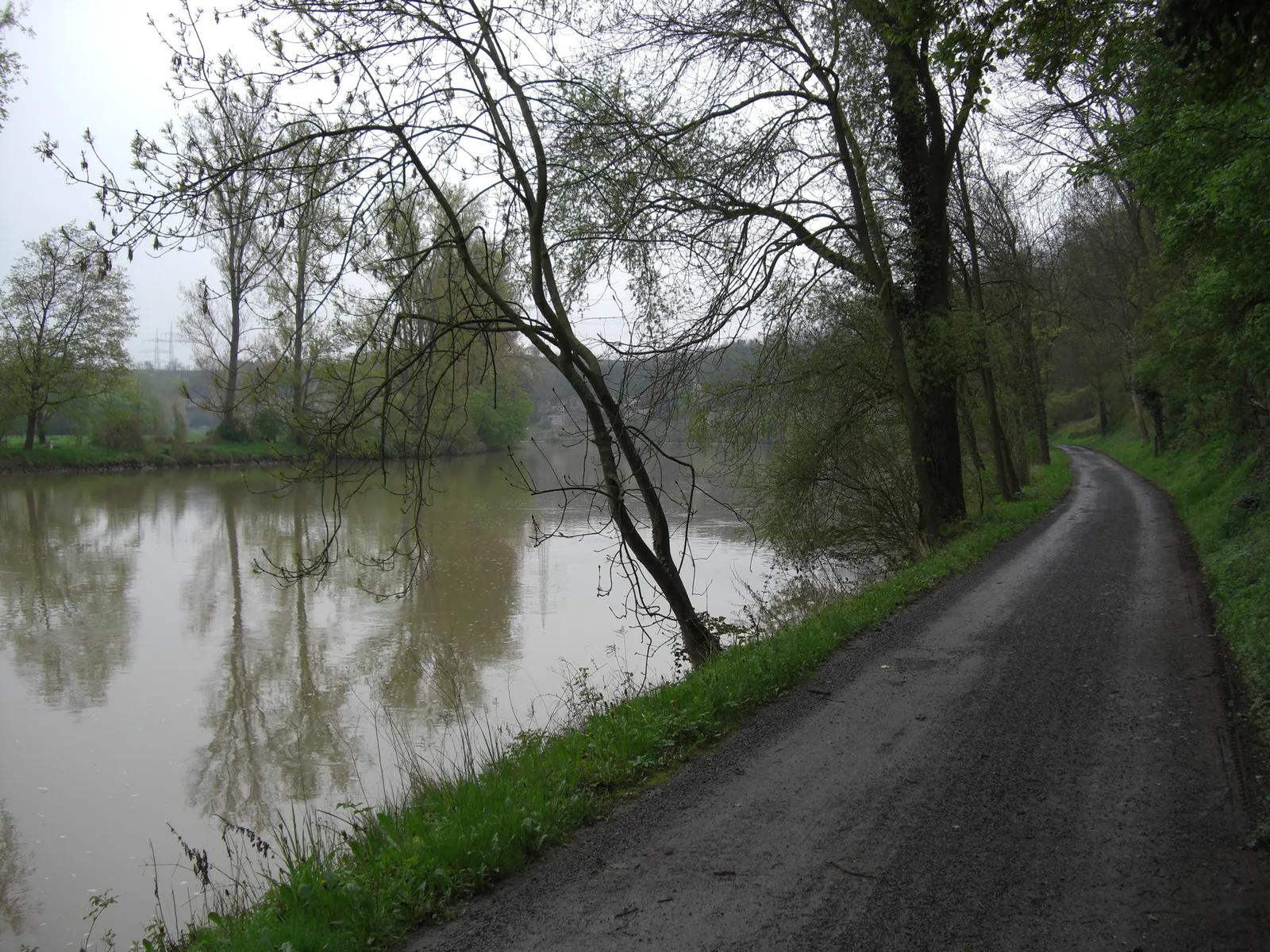
Photo: Punktional, CC BY-SA 3.0, via Wikimedia Commons
- Distance
- about 370 km (230 miles)
- Country
- Germany
- Difficulty
- Easy
- Type of trip
- Cycling route
The Neckartal-Radweg follows the Neckar across Baden-Württemberg, from its source in the Schwenninger Moos near Villingen-Schwenningen to Mannheim, where the river joins the Rhine. On the way it passes Rottweil, Tübingen, Esslingen, Stuttgart, Heilbronn and Heidelberg. The official site splits it into eight daily stages, riding downstream, which is the usual way and has the least climbing. You can go the other way, but there's more uphill. You sleep in hotels and guesthouses along the river, and the official site lists Bett+Bike places. It says to book ahead in the main season and school holidays, because the small places have few beds. There's nothing to book for the route itself.
The official site says it's mostly tarmac, with some fine gravel and a few short stretches of unsurfaced forest track. Only the first stage, from Villingen-Schwenningen to Rottweil, counts as medium because of some short climbs. The other seven are rated easy. It's signed in both directions and crosses the river several times. In 2023 the ADFC gave it four stars again. Trains run beside almost all of it, with Intercity stations at Rottweil, Horb, Tübingen, Plochingen, Stuttgart, Heidelberg and Mannheim, among others. It isn't all quiet riverbank. German Wikipedia says many village sections are on roads with traffic. Wikivoyage calls the stretch from Esslingen to Stuttgart industrial and noisy, and says you ride beside the road between Neckargemünd and Heidelberg. Between Neckarelz and Zwingenberg there's no path on the west bank, because it's a nature reserve, so you take the cycle path beside the main road and cross back by ferry at Zwingenberg.
Highlights along the way
- Rottweil: The end of the first stage, with a well-kept old town, a minster and town gates. Across the valley stands a lift test tower with a viewing platform you can pay to go up.
- Tübingen: An old university town. The university was founded in 1477. The row of houses on the river with the Hölderlin tower is its best-known view. Wikivoyage suggests a rest day here.
- Marbach and Ludwigsburg: Marbach is where Schiller was born, and his birth house is in the old town. Ludwigsburg has the largest Baroque palace in Germany that was never destroyed.
- Bad Wimpfen: The old Staufer town sits on a rock spur above the route, reached by a final short climb. Its imperial palace was built around 1200.
- Neckarsteinach and Heidelberg: Neckarsteinach has four castles on the hillside above the river. In Heidelberg there's the castle ruin above the old town and the oldest university in what is now Germany.
Distance
About 370 km (230 miles) from Villingen-Schwenningen to Mannheim, by the official count, in eight stages. German Wikipedia gives about 1,069 m of climbing and 1,675 m of descent riding downstream, from about 764 m down to 89 m. By the ADFC's count it's about 65% easy, 34% medium and 1% hard.
Best time to go
Neither the official site nor Wikivoyage names a best season. As of 3 November 2026 the official site listed several closures. The path between Stuttgart-Obertürkheim and Untertürkheim has been shut since July 2016 for the Stuttgart 21 rail works, with part of it open again since 2024. The works should end in 2027, and the diversion uses busy roads. The official site suggests the S-Bahn from Esslingen to Bad Cannstatt instead. The Otto-Konz-Weg near Ludwigsburg is shut until about 19 March 2027, and there's a diversion at Kirchentellinsfurt for path widening until July 2027. Check neckartalradweg-bw.de before you go.
More journeys in Germany
- Cycle Exped to Japan via Finland · Mark
- The Great Spirits Route · johan
- UK to Georgia by Bike · Simon & Lucy
- Denmark! · Christopher
- Istanbul To Ashby · Harry
- Beer hike · Christopher
Flyby films from Germany
- Dag 8: Schongau - Innsbruck · johan
- Stuttgart-Amsterdam · JereFü
- St Malo to Vienna · Lucy
- The Start · Christopher
More routes like this
- Danube Cycle Path · about 320 km (199 miles) · Austria, Germany, Hungary, Slovakia
- Altmühltal-Radweg by bike · about 241 km (150 miles) · Germany
- Innradweg (Inn Cycle Path) · about 520 km (323 miles) · Switzerland, Austria, Germany
- Isarradweg by bike · 299 km (186 miles) · Germany, Austria
- Via Claudia Augusta by bike · about 700 km (435 miles) · Austria, Italy, Germany
- Weser-Radweg by bike · about 520 km (323 miles) · Germany