La Vélodyssée by bike
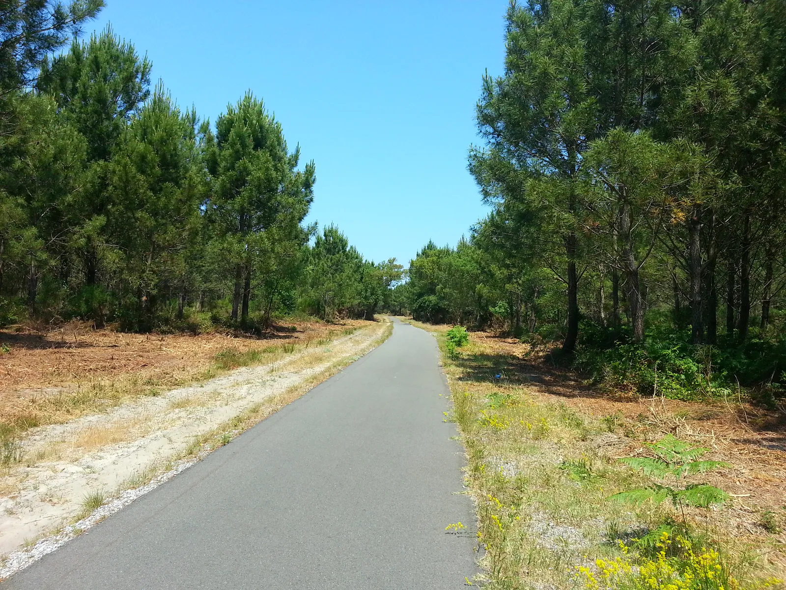
Photo: Gilles Guillamot, CC BY-SA 3.0, via Wikimedia Commons
- Distance
- 1,300 km (808 miles)
- Country
- France
- Difficulty
- Easy to moderate
- Type of trip
- Cycling route
La Vélodyssée is the French part of EuroVelo 1, the Atlantic Coast Route. It runs down the west of France from Roscoff in Brittany to Hendaye on the Spanish border, through 3 regions and 9 départements. It opened officially in 2012, and in 2024 it was the first route in France to get EuroVelo certification for its whole length. The official site splits it into 38 stages of 14 to 50 km but doesn't say how many days to allow. At about 70 km a day you'd need around 18 days. You sleep in campsites, hotels, B&Bs and group lodgings. Places with the Accueil Vélo label are set up for cyclists.
The official site says nearly 80% of the route is on greenways or cycle paths. The rest is on shared roads, and some surfaces in Brittany, Loire-Atlantique and Charente-Maritime are rough and stony. It's mostly flat, with exceptions: hilly roads between Roscoff and Morlaix, a stiff climb by Lac de Guerlédan, dunes that ride like a roller coaster between Hourtin-Plage and Lacanau, and steep hills on the Basque coast. Don't ride over the Saint-Nazaire bridge across the Loire. The official site points you to a shuttle or the Aléop 317 bus instead, and you have to book.
Highlights along the way
- Morlaix to Carhaix: Between Morlaix and Carhaix the route follows the old railway line, now a greenway of 53.6 km by French Wikipedia's count.
- Canal de Nantes à Brest: From Port-de-Carhaix to Nort-sur-Erdre you're on the canal towpath, past Lac de Guerlédan, the Abbaye de Bon Repos and the castle at Josselin. The stage from Pontivy to Josselin alone has 54 locks.
- Marais poitevin and La Rochelle: Stage 20 crosses the drained part of the Marais poitevin, between the Vendée and Charente-Maritime, to Marans. Stage 22 starts in front of the towers that guard the port of La Rochelle and follows the coast past Châtelaillon-Plage to Rochefort.
- Arcachon and the Dune du Pilat: Most of stage 29 into Arcachon is on an old railway line, though you share the road with cars between Lège and Arès. On stage 30 to Biscarrosse-Plage the official site says to go up the Dune du Pilat.
- The Basque coast: The last three stages are short, 16, 14 and 21 km, past the beaches of Bayonne, Biarritz and Saint-Jean-de-Luz to Hendaye-Plage. The last two are hilly, with more than 4 km on a shared road near Hendaye. On the corniche, stick to the signs; the official site warns of a dangerous section.
Distance
The official site rounds it to 1,300 km (808 miles), but its 38 stages add up to 1,275 km (792 miles). French Wikipedia gives 1,294 km (804 miles). It's signed in both directions.
Best time to go
The official site doesn't name a best season. July, August and long weekends are the busiest times, and not every place takes one-night bookings then, so book ahead. When the official alerts page was checked on 3 November 2026, two stretches were shut. The Marennes–Royan stage was closed for maintenance from 2 to 18 November 2026, with a diversion. After fires in the Gironde, the route was also closed between Le Grand Crohot and Lège-Cap-Ferret with no reopening date (update of 20 October 2026); the official advice is to go round by Bordeaux, by bike or by train, and bikes must be booked on TER trains. Look at the alerts page before you set off.
More journeys in France
- France June 2023 · Greg
- France Spain 2024 · Greg
- UK to Georgia by Bike · Simon & Lucy
- The Rick Trip · Phil
- Sailing Around The World · Adam
- Spain France Pyrenees 2026 · Greg
Flyby films from France
- PLM line - Champagnole to Pont-du-Navoy - 25483409 · CNJ tourisme
- Lamasquère Road Cycling · Michmich
- To sea, on a ferry, off the ferry · Phil
- The Great Escape · saeunn
More routes like this
- La Vélo Francette by bike · about 640 km (400 miles) · France
- EuroVelo 6 - France to Romania by bike · about 4,700 km (2,900 miles) · Austria, France, Germany, Hungary, Romania, Switzerland, Slovakia, Croatia, Serbia, Bulgaria
- Rhine Cycle Route (EuroVelo 15) · about 1,233 km (766 miles) · France, Germany, Netherlands, Switzerland, Austria, Liechtenstein
- Atlantic Coast Route – EuroVelo 1 by bike · about 11,000 km (6,835 miles) · England, France, Ireland, Norway, Portugal, Scotland, Spain, Wales, Northern Ireland
- Loire Valley by bike · about 900 km (559 miles) · France
- La Véloscénie by bike · 450 km (280 miles) · France