La Vélo Francette by bike
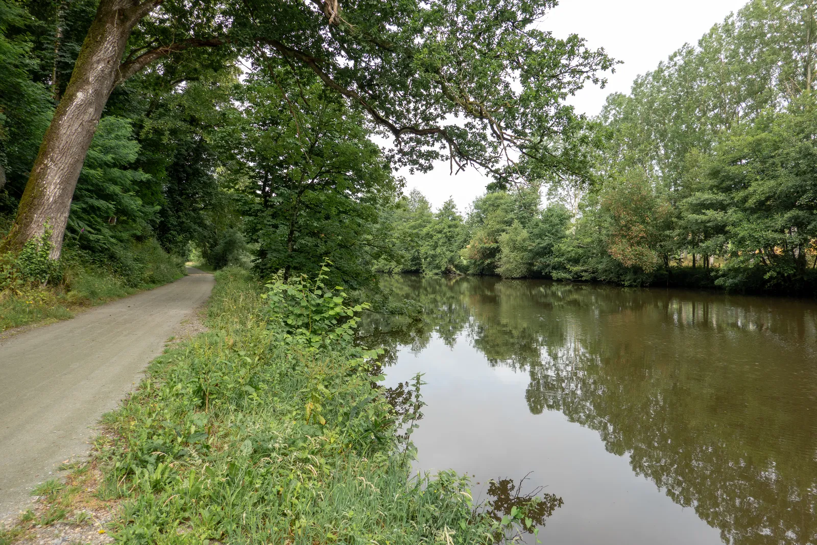
Photo: No(0)GoodNamesLeft, CC BY-SA 4.0, via Wikimedia Commons
- Distance
- about 640 km (400 miles)
- Country
- France
- Difficulty
- Moderate
- Type of trip
- Cycling route
La Vélo Francette is a signed cycle route from Ouistreham on the Channel coast to La Rochelle on the Atlantic, about 640 km by the official site's count. It's the V43 in France's national network and is signed in both directions. It crosses Normandy and the Pays de la Loire into Nouvelle-Aquitaine, following rivers most of the way: the Orne, the Varenne, the Mayenne, the Loire, the Thouet and the Sèvre Niortaise. The official site splits it into 23 stages of 16 to 50 km. You sleep in the towns and villages along the way, and places with the Accueil Vélo label are set up for cyclists.
It isn't a greenway all the way. France Vélo Tourisme puts it at 47% on paths kept for bikes and 53% on small roads, and recommends the whole route for cyclists who are used to riding. The hillier parts are from Pont-d'Ouilly to Flers and from Thouars to Champdeniers-Saint-Denis, and there's a 12% climb, the côte de Crevant, at the way into Thouars. The highest point is only 270 m. The stretch from Mayenne to Angers is all on the towpath of the Mayenne, flat and away from traffic, and France Vélo Tourisme says it suits families.
Highlights along the way
- Ouistreham and Pegasus Bridge: The route starts by the ferry port at Ouistreham, on Sword Beach of the D-Day landings, and follows the old towpath of the Orne canal into Caen. On the way you pass Pegasus Bridge.
- The Suisse Normande and the Roche d'Oëtre: South of Caen a greenway on an old railway follows the Orne through the Suisse Normande, by Thury-Harcourt, Clécy and Pont-d'Ouilly. The variant by the Roche d'Oëtre is the hardest stage, up to a rock 118 m high above the wooded gorges of the Rouvre.
- The Mayenne towpath: From Mayenne the route follows the river's towpath through Laval and Château-Gontier, towards Angers. A new 2.6 km stretch between Chambellay and Montreuil-sur-Maine opened on 10 July 2026, so you no longer have to go on the road there.
- Saumur and Montreuil-Bellay: From Angers to Saumur it shares the way with La Loire à Vélo, for 66 km by French Wikipedia's count. Then it follows the Thouet to Montreuil-Bellay, which the official site calls the last fortified town in Anjou.
- The Marais Poitevin and La Rochelle: After Niort the route winds through the Marais Poitevin beside the Sèvre Niortaise. From Marans it shares the last stage with La Vélodyssée, along the canal from Marans to the sea.
Distance
About 640 km (400 miles) in all from Ouistreham to La Rochelle, by the official site's count, in 23 stages of 16 to 50 km (10 to 31 miles). France Vélo Tourisme gives 600 km (373 miles) and French Wikipedia 651 km (405 miles), so expect figures to differ. The flat section from Mayenne to Angers is 128 km (80 miles).
Best time to go
France Vélo Tourisme says spring to autumn is the time to ride it. In wet weather the Mayenne towpath can go soft or slippery, or even become impassable. From November to April the Maine and the Loire often flood the route around Angers, and alternative routes are put in place when they do. Check the news page on lavelofrancette.com before you go (read for this guide on 3 November 2026).
More journeys in France
- France June 2023 · Greg
- France Spain 2024 · Greg
- UK to Georgia by Bike · Simon & Lucy
- The Rick Trip · Phil
- Sailing Around The World · Adam
- Spain France Pyrenees 2026 · Greg
Flyby films from France
- PLM line - Champagnole to Pont-du-Navoy - 25483409 · CNJ tourisme
- Lamasquère Road Cycling · Michmich
- To sea, on a ferry, off the ferry · Phil
- The Great Escape · saeunn
More routes like this
- La Véloscénie by bike · 450 km (280 miles) · France
- Camino Francés by Bike · about 770 km (480 miles) · Spain, France
- Moselradweg (Mosel Cycle Path) · about 311 km (193 miles) · Germany, Luxembourg, France
- La Vélodyssée by bike · 1,300 km (808 miles) · France
- EuroVelo 6 - France to Romania by bike · about 4,700 km (2,900 miles) · Austria, France, Germany, Hungary, Romania, Switzerland, Slovakia, Croatia, Serbia, Bulgaria
- Rhine Cycle Route (EuroVelo 15) · about 1,233 km (766 miles) · France, Germany, Netherlands, Switzerland, Austria, Liechtenstein