How to track a cycle tour or bikepacking trip
There's no better feeling than those first few kilometres as you set off on a bicycle adventure, with endless roads and possibilities ahead of you. A few weeks later you've got a line across the map, wrong turns and all, and a story to go with it. Your phone can record that line as you ride, and the people at home can follow along. When Lucy and I cycled from the UK to Georgia it came to 5,421 km across eleven countries, and it's still the thing we look at most from the whole trip.
Here's how to track a cycle tour or a bikepacking trip with a free app, and turn it into a map of your bicycle journey at the end.
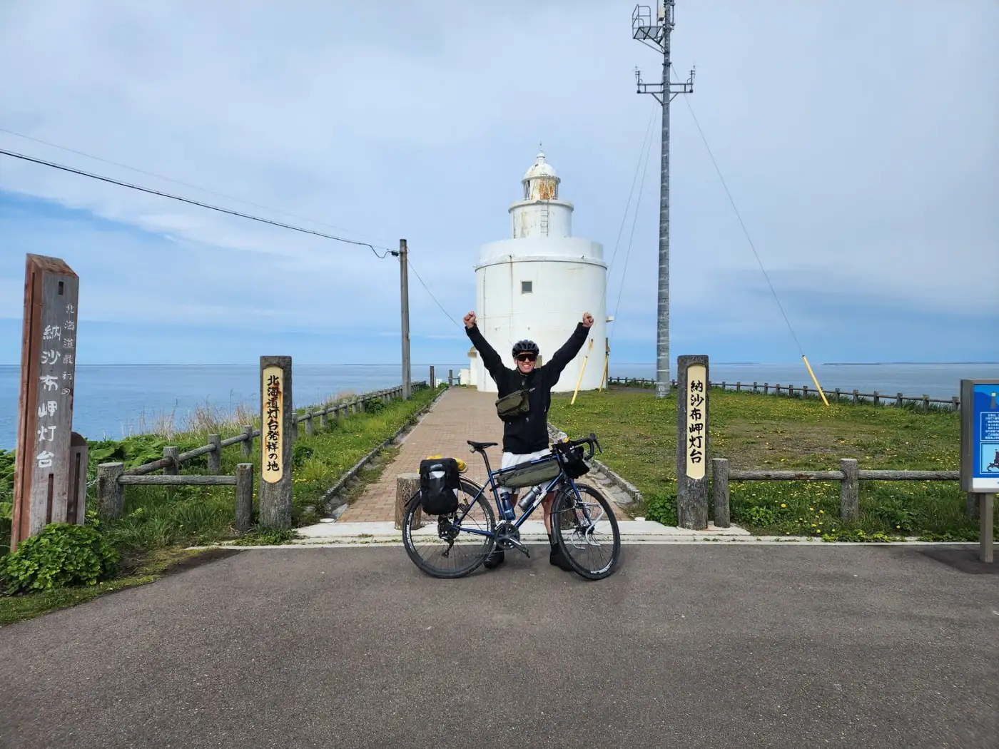
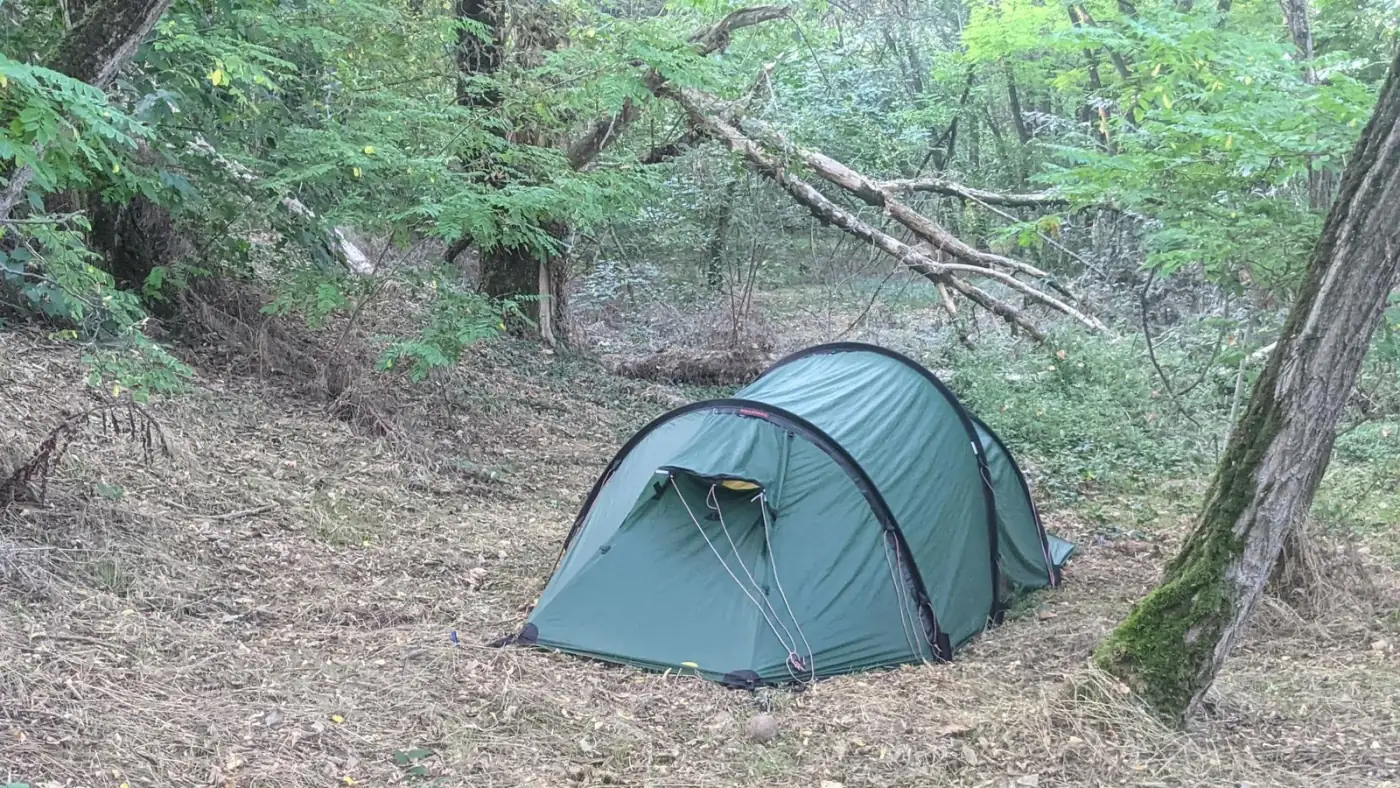
*Header photo: St John at Cape Nosappu, the eastern tip of Japan, at the end of his ride from Nagasaki.*
Tracking a cycle tour
Setting it up takes a few minutes before you leave; the help pages cover it. The rest is about the riding.
Where to put the phone
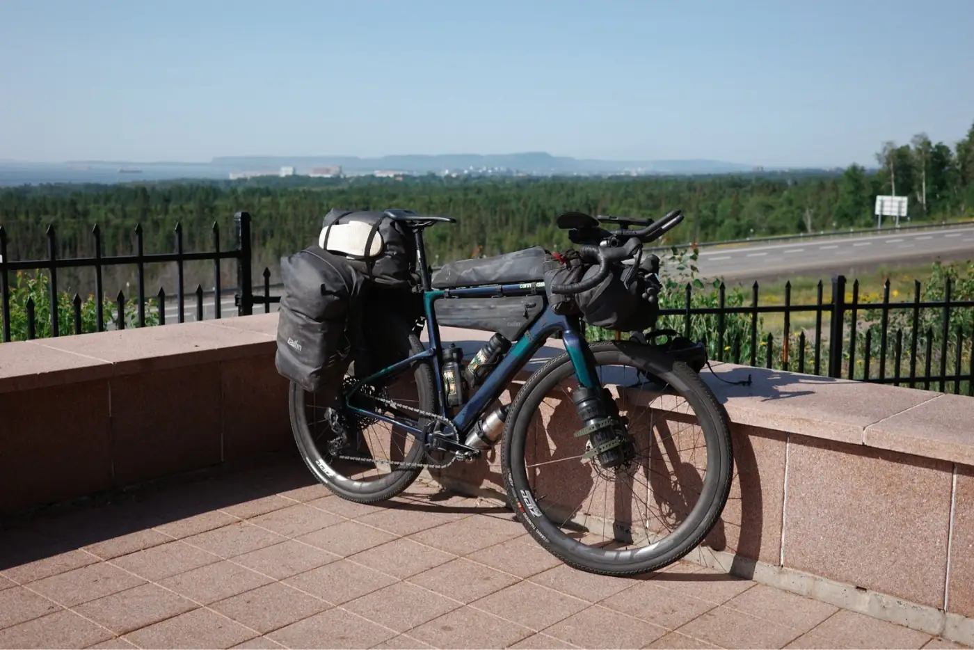
A handlebar or top-tube mount is best: the phone can see the sky and you can grab it for a photo. A frame bag with a clear top works well too. Deep in a pannier, the signal suffers and the line goes jagged. Expect short gaps in tunnels and between tall buildings.
Battery
A full day of tracking is fine on most phones. It's the screen and the camera that eat the battery, not the GPS. Carry a power bank, and charge it whenever you stop for a proper meal. If your bike has a dynamo hub and a USB charger, even better.
On the road
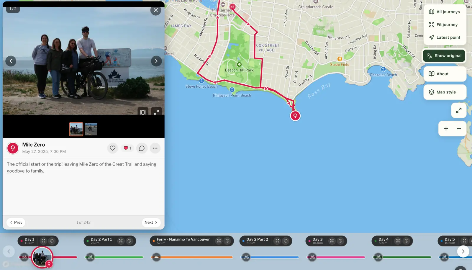
Start a journey and split it into chapters. A chapter can be a day, a stage or a country. On our ride to Georgia we did one per country. St John, riding the length of Japan, did one per day, "Day 1" to "Final Day", with a rest week in Tokyo as a chapter of its own. Both work. Each chapter gets its own page in the journal and its own flyby film.
Rest days: just don't track. The journey carries on. Start the next chapter when you're back on the bike.
Hopping on a train or ferry? Change the transport as you get on, so the map doesn't show you riding 100 km in an hour.
Drop pebbls along the way. A pebbl is a photo, a note or both, pinned where it happened: the top of the col, the café that saved the day, the field you camped in. They turn a line into a story.
Bikepacking trips: off-grid and out of signal
No signal is fine. The route records without it and uploads when you're back in range, so a few days in the hills just appear on the map later in one go. Pebbls you post with no signal wait on the phone and go up too.
Let people follow along. On a long ride, a surprising amount of every evening goes on hunting for signal and messaging home to convince everyone you're still alive on your crazy adventure. Send your family and friends the journey's link instead. The route goes up by itself whenever your phone finds signal, so they can see where you've got to without waiting for a message from you. They read it in a browser with no app, and can sign up to get a message when you post something. With Explorer, the map keeps up with you as you ride.
Wild camping or riding alone? You decide who sees what. You can keep a journey private to the people you send the link to, hide places like your home, and with tracking privacy hold back your latest position until you've moved on.
Making a map of your bicycle journey
This is what you have at the end.
A map of the real route, coloured by how you travelled, with your pebbls along it. You can put it on your own blog or website, or print it: A4 and Letter are free from the share button.
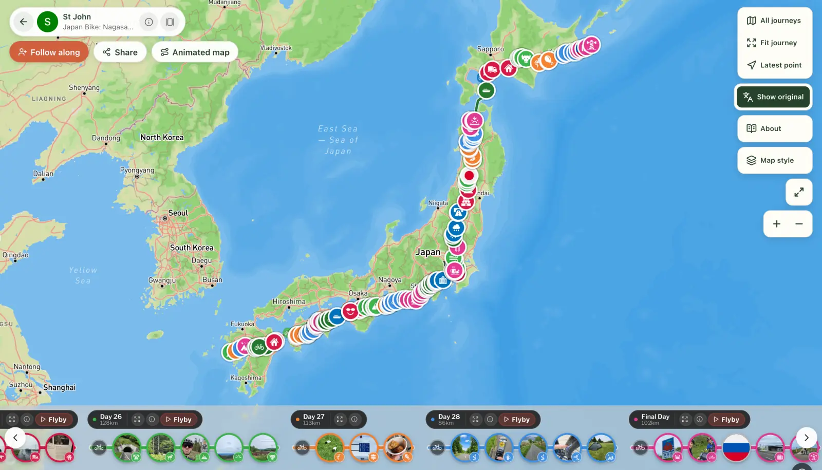
See St John's map and move around it yourself.
A journal, chapter by chapter, that reads well on a phone.
A flyby film for most chapters, made for you and free: a 3D film that follows that day's ride from above, with your photos where you took them.
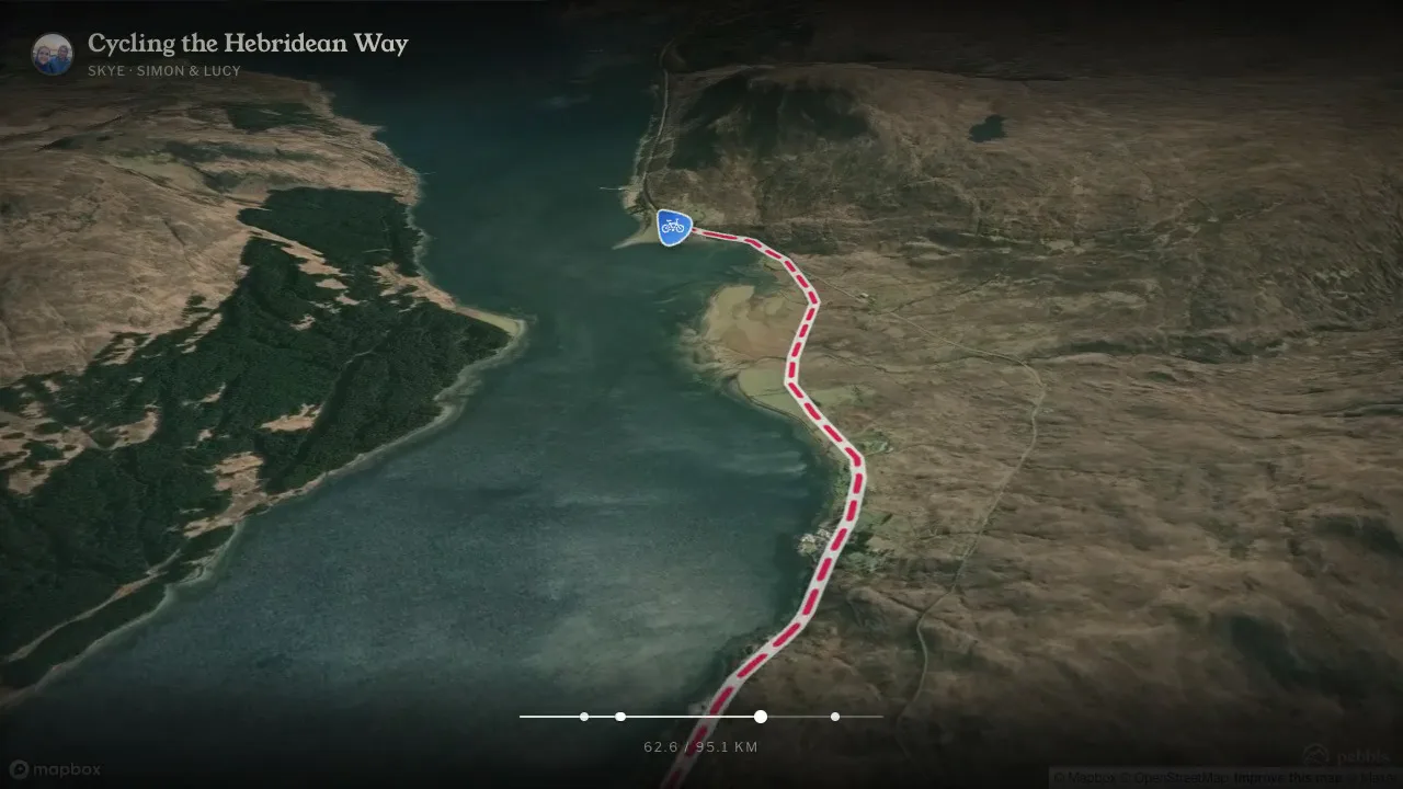
An animated map of the whole tour, if you want one to post: the route draws itself across the map, stop by stop. You can make one free with Animated travel map, and this post explains how.

Got a ride on Strava, Garmin or Komoot that you didn't track with Pebbls? Download it as a GPX file and add it to your map as a chapter. For a single big day, you can also make a 3D video of the route straight from the file.
Bike tours on Pebbls to look at
UK to Georgia by Bike (Lucy and me). From August 2021 to January 2022: 5,421 km by bike, one chapter per country, across eleven countries.
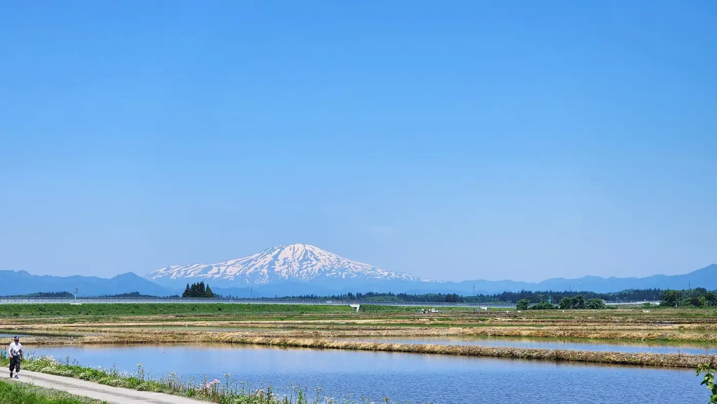
Japan Bike: Nagasaki to Nemuro (St John). The length of Japan in April and May 2024, from Nagasaki in the south-west to Nemuro at the eastern tip of Hokkaido: about 2,530 km by bike in 40 chapters, a rest week in Tokyo and 145 pebbls along the way.
Biking Across Canada For Charity (Jeremy). Coast to coast from May to September 2025, from Victoria in British Columbia to St. John's in Newfoundland, raising money for charity as he went: about 9,200 km by bike in 77 chapters, and 246 pebbls for the people back home following along.
Quick answers
Is it free? Yes. You can track a whole tour and share it without paying a penny: the online map of your route, your pebbls, the journal for family and friends to follow, flyby films of your chapters, an animated map of the trip and a map to print.
Does it replace my bike computer? No. Pebbls doesn't give turn-by-turn directions or show heart rate and power. Keep your Garmin or Wahoo on the bars for that; Pebbls records the trip itself, the photos and the people following.
Will it drain my battery? Some, but a day of tracking is normal on most phones. The screen, the camera and hunting for signal use more.
There's more on what the travel tracker does, and on tracking any trip on a map. Then get Pebbls free and enjoy the ride.